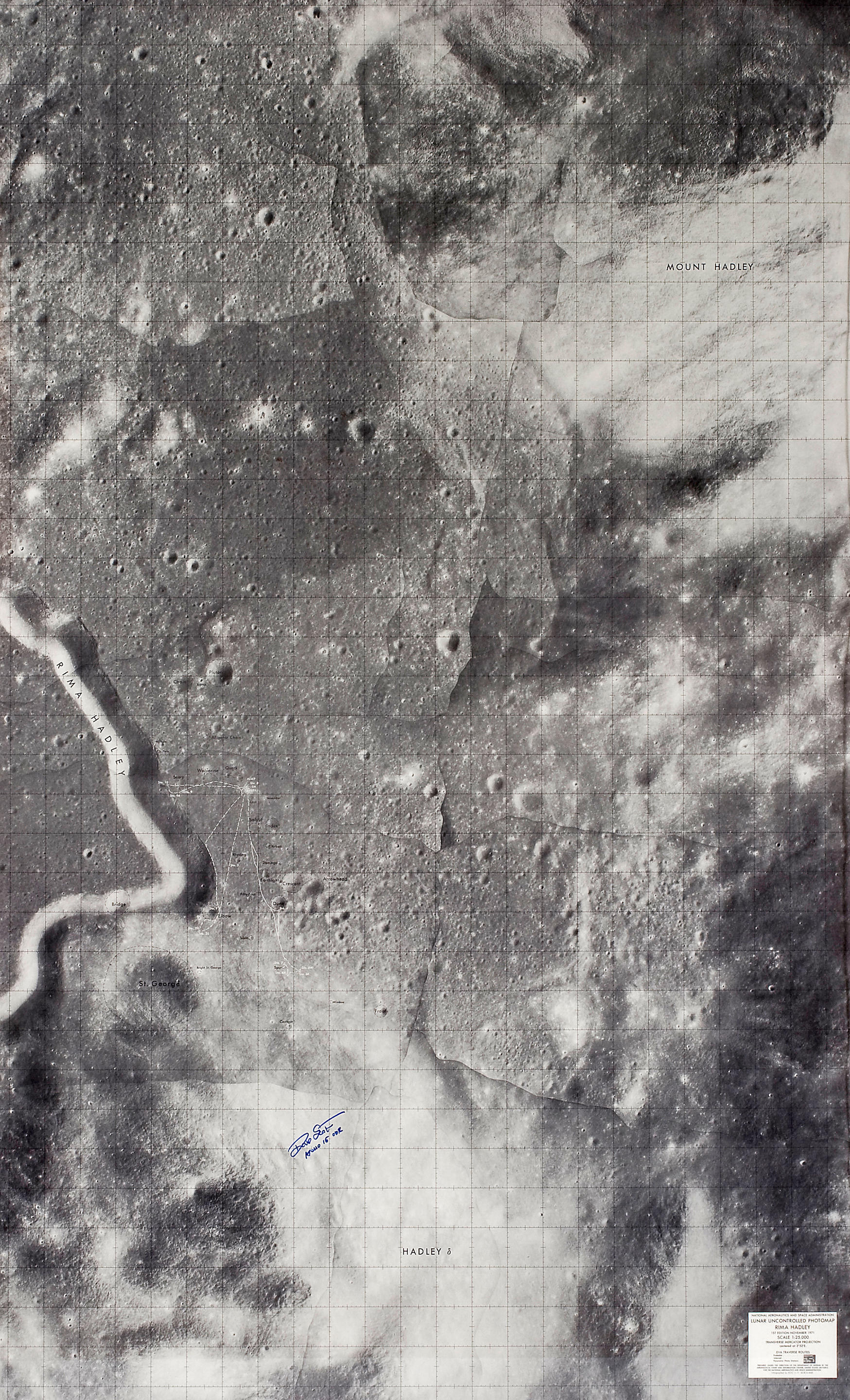
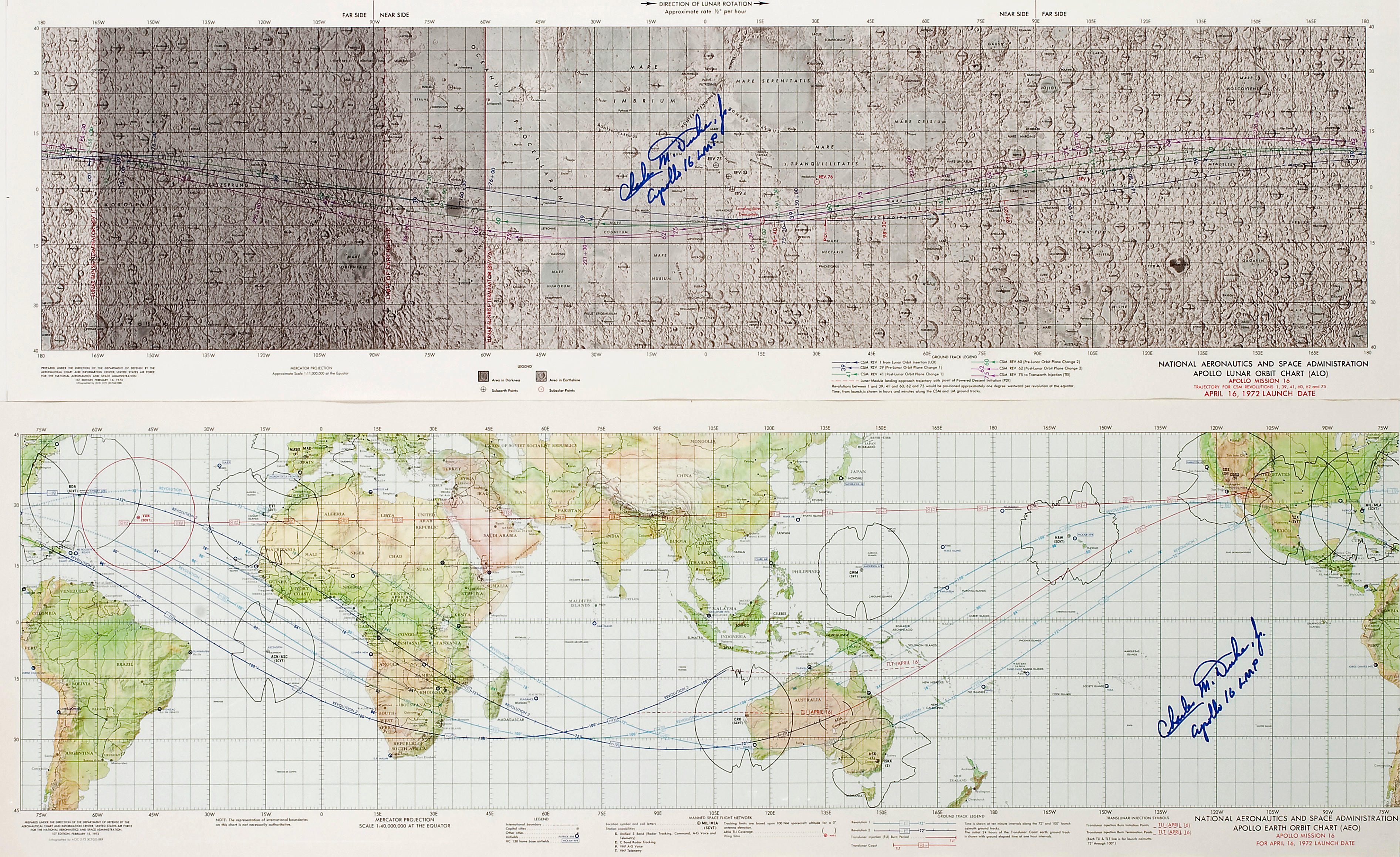
APOLLO 14 MISSION CHARTS – Lunar Orbit Science Contingency Flight Chart (LSC), Sheet 1 of 2, Apollo Mission 14, January 31, 1971 Launch Date. Aeronautical Chart and Information Center, USAF for NASA, 4 December 1970. [With:] Littrow, Lunar Topographic Orthophotomap . Defense Mapping Agency for NASA, October 1974. A pair of lunar charts based on photographic data from 20th century lunar expeditions, almost identical to the flown versions. The first is SIGNED and INSCRIBED by Edgar MITCHELL with his Apollo flight number. The second is SIGNED and INSCRIBED by Gene CERNAN: " The Valley of Taurus Littrow. Home of the final steps of Apollo, Dec 11 – 14, 1972. Gene Cernan, Cdr Apollo XVII ." Further details on the contents of this lot: 1 - Lunar Orbit Science Contingency Flight Chart (LSC), Sheet 1 of 2, Apollo Mission 14, January 31, 1971 Launch Date. Aeronautical Chart and Information Center, USAF for NASA. First edition, December 4, 1970. 28 by 41 inches. SIGNED and INSCRIBED by Edgar MITCHELL. Full color lunar Earth side viewable map. Identical to the flown version except as noted on this chart: "Apollo 14 Flight On-Board Chart Format. The Apollo 14 flight crew on-board operational chart latitudinal coverage is limited to +/- 40 degrees. The 360 degree longitudinal coverage has been folded into ten equal panels labeled 1 through 10. Panel folding marks and panel numbers are located south of the 40 degree North latitude graticule line." 2 - Littrow, Lunar Topographic Orthophotomap. Defense Mapping Agency for NASA, October 1974. 27 by 25 inches. Lunar chart based on Apollo 15 and 17 photographic data including ITEK and Fairchild cameras. SIGNED and INSCRIBED by Gene CERNAN. Lunar chart based on Apollo 15 and 17 photographic data including ITEK and Fairchild cameras. The last lunar landing site of the Apollo Program is marked with a large black pennant at the lower left corner. Red elevation contour lines are marked at 100 meter intervals and is based on data collected during the Apollo 15 and 17 missions. Those flights had a laser altimeter located in the Service Module SIM (Scientific Instrument Module) Bays.
APOLLO 14 MISSION CHARTS – Lunar Orbit Science Contingency Flight Chart (LSC), Sheet 1 of 2, Apollo Mission 14, January 31, 1971 Launch Date. Aeronautical Chart and Information Center, USAF for NASA, 4 December 1970. [With:] Littrow, Lunar Topographic Orthophotomap . Defense Mapping Agency for NASA, October 1974. A pair of lunar charts based on photographic data from 20th century lunar expeditions, almost identical to the flown versions. The first is SIGNED and INSCRIBED by Edgar MITCHELL with his Apollo flight number. The second is SIGNED and INSCRIBED by Gene CERNAN: " The Valley of Taurus Littrow. Home of the final steps of Apollo, Dec 11 – 14, 1972. Gene Cernan, Cdr Apollo XVII ." Further details on the contents of this lot: 1 - Lunar Orbit Science Contingency Flight Chart (LSC), Sheet 1 of 2, Apollo Mission 14, January 31, 1971 Launch Date. Aeronautical Chart and Information Center, USAF for NASA. First edition, December 4, 1970. 28 by 41 inches. SIGNED and INSCRIBED by Edgar MITCHELL. Full color lunar Earth side viewable map. Identical to the flown version except as noted on this chart: "Apollo 14 Flight On-Board Chart Format. The Apollo 14 flight crew on-board operational chart latitudinal coverage is limited to +/- 40 degrees. The 360 degree longitudinal coverage has been folded into ten equal panels labeled 1 through 10. Panel folding marks and panel numbers are located south of the 40 degree North latitude graticule line." 2 - Littrow, Lunar Topographic Orthophotomap. Defense Mapping Agency for NASA, October 1974. 27 by 25 inches. Lunar chart based on Apollo 15 and 17 photographic data including ITEK and Fairchild cameras. SIGNED and INSCRIBED by Gene CERNAN. Lunar chart based on Apollo 15 and 17 photographic data including ITEK and Fairchild cameras. The last lunar landing site of the Apollo Program is marked with a large black pennant at the lower left corner. Red elevation contour lines are marked at 100 meter intervals and is based on data collected during the Apollo 15 and 17 missions. Those flights had a laser altimeter located in the Service Module SIM (Scientific Instrument Module) Bays.
.jpg?w=400?width=1600&quality=70)

.jpg?w=400)
.jpg?w=400?width=1600&quality=70)


.jpg?w=400?width=1600&quality=70)

.jpg?w=400?width=1600&quality=70)


.jpg)
.jpg?w=400?width=1600&quality=70)
Try LotSearch and its premium features for 7 days - without any costs!
Be notified automatically about new items in upcoming auctions.
Create an alert