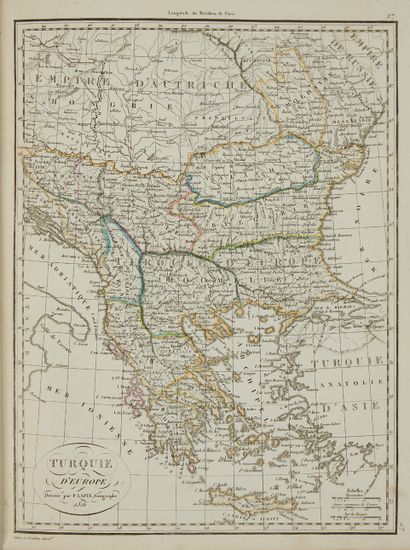
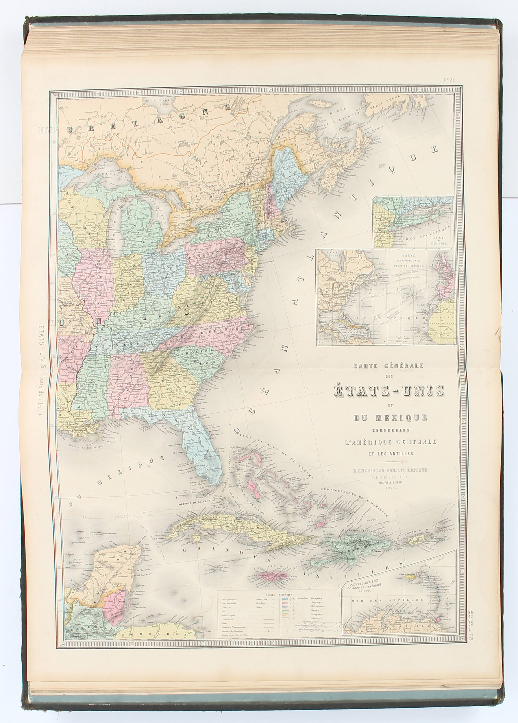
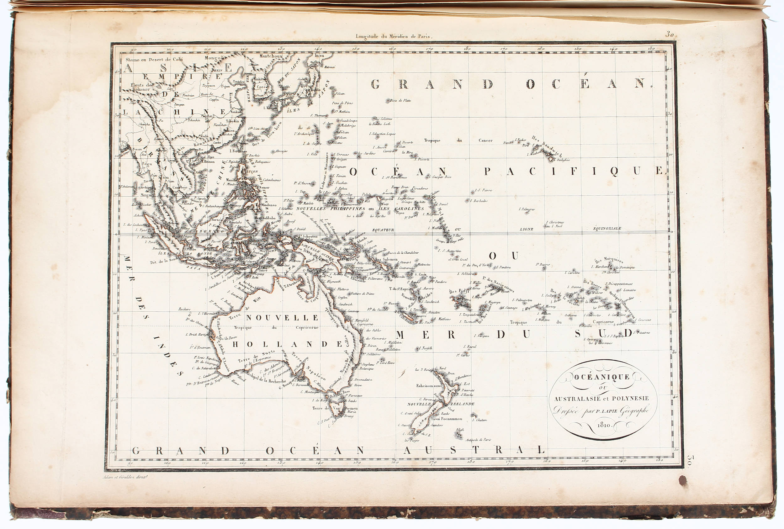
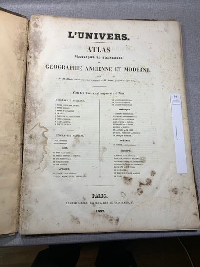
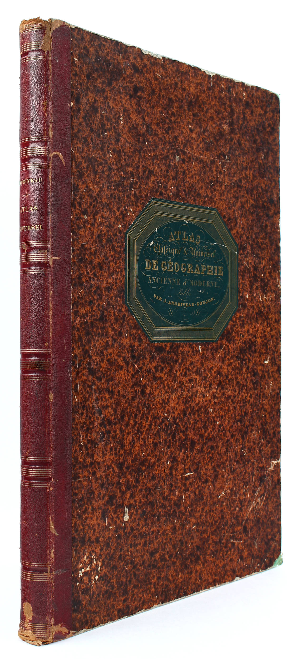
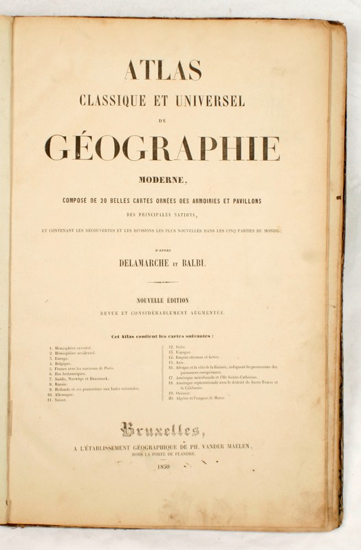
Title: Atlas Classique et Universel de Géographie Ancienne et Moderne... Author: Andriveau-Goujon, J. Place: Paris Publisher: J. Andriveau-Goujon Date: [1845] Description: With 31 double-page steel-engraved and hand-colored maps (2 are folding), plus insets; steel-engraved title and table of contents pages. 20½x13¾, bound in period quarter red morocco and mottled boards, spine lettered in gilt, printed green paper cover label. Finely engraved and beautifully colored series of very large maps of the world and its various regions, with the most attention paid to Europe (including folding maps of Algeria with four large insets and of Switzerland), but with some nice maps of America and the rest of the world, including maps of North America, United States and South America (the last map). North America map shows California and the Southwest belonging to Mexico. The maps are numbered 1-32, but one of the folding maps is double-numbered, so the 31 maps are complete. Lot Amendments Condition: Rubbing and edge wear; hinges cracked (rear nearly cracked through), occasional splits at map folds (including folding maps), mild toning and soiling; else very good or better. Item number: 144439
Title: Atlas Classique et Universel de Géographie Ancienne et Moderne... Author: Andriveau-Goujon, J. Place: Paris Publisher: J. Andriveau-Goujon Date: [1845] Description: With 31 double-page steel-engraved and hand-colored maps (2 are folding), plus insets; steel-engraved title and table of contents pages. 20½x13¾, bound in period quarter red morocco and mottled boards, spine lettered in gilt, printed green paper cover label. Finely engraved and beautifully colored series of very large maps of the world and its various regions, with the most attention paid to Europe (including folding maps of Algeria with four large insets and of Switzerland), but with some nice maps of America and the rest of the world, including maps of North America, United States and South America (the last map). North America map shows California and the Southwest belonging to Mexico. The maps are numbered 1-32, but one of the folding maps is double-numbered, so the 31 maps are complete. Lot Amendments Condition: Rubbing and edge wear; hinges cracked (rear nearly cracked through), occasional splits at map folds (including folding maps), mild toning and soiling; else very good or better. Item number: 144439





Try LotSearch and its premium features for 7 days - without any costs!
Be notified automatically about new items in upcoming auctions.
Create an alert