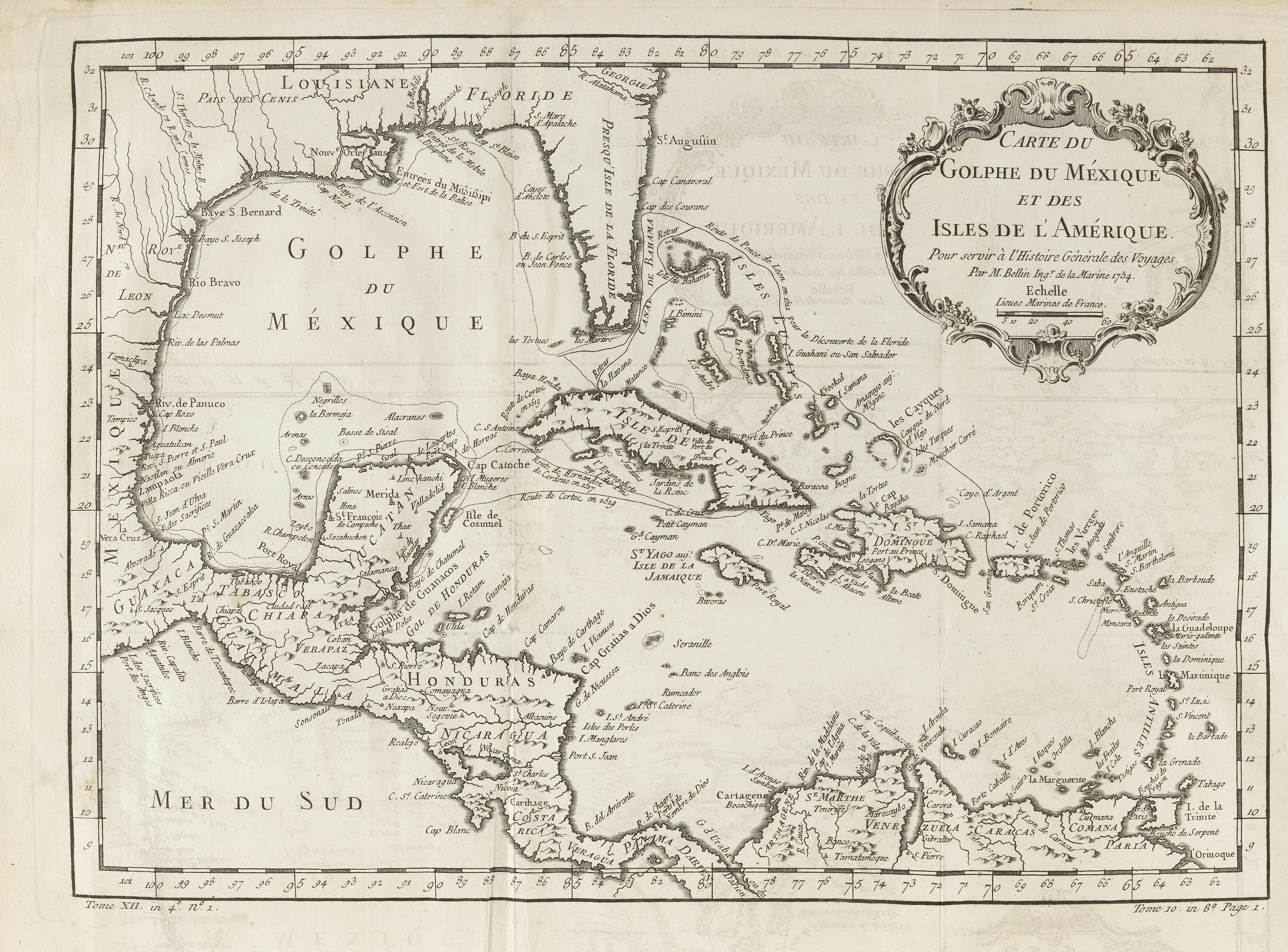
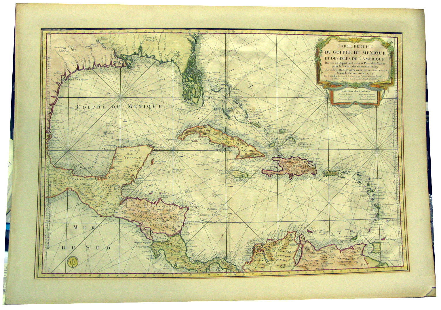
BELLIN, Jacques Nicholas (1703-1772). L’Hydrographie Francoise . Paris: [c.1800]. Bellin's nautical charts make up the best, most comprehensive and most accurate sea atlas of his time. This copy was in the personal library of Charles-Eugène-Gabriel, marquis de la Croix de Castries (1727-1801, binding) French Secretary of State of the Navy. Its success can be put down to more accurate and more detailed than any English atlas. The reason for this was the establishment of a central office for hydrography in France at the beginning of the 18th century, to which the naval officers had to provide accurate information 2 volumes, folio (649 x 508mm). Engraved frontispiece in volume 1, engraved title in each volume, engraved plate of flags and a total of 110 engraved charts, most double-page, including 5 additional maps by Jacques-Raymond Grenier, vicomte Grenier, dated 1776. Contemporary calf, gilt arms on covers [Olivier 777], gilt spine (rebacked and restored). Provenance : Charles-Eugène-Gabriel, marquis de la Croix de Castries (1727-1801, binding) – General Sir George Cockburn (Royal Navy officer, 1772-1853; bookplate).
BELLIN, Jacques Nicholas (1703-1772). L’Hydrographie Francoise . Paris: [c.1800]. Bellin's nautical charts make up the best, most comprehensive and most accurate sea atlas of his time. This copy was in the personal library of Charles-Eugène-Gabriel, marquis de la Croix de Castries (1727-1801, binding) French Secretary of State of the Navy. Its success can be put down to more accurate and more detailed than any English atlas. The reason for this was the establishment of a central office for hydrography in France at the beginning of the 18th century, to which the naval officers had to provide accurate information 2 volumes, folio (649 x 508mm). Engraved frontispiece in volume 1, engraved title in each volume, engraved plate of flags and a total of 110 engraved charts, most double-page, including 5 additional maps by Jacques-Raymond Grenier, vicomte Grenier, dated 1776. Contemporary calf, gilt arms on covers [Olivier 777], gilt spine (rebacked and restored). Provenance : Charles-Eugène-Gabriel, marquis de la Croix de Castries (1727-1801, binding) – General Sir George Cockburn (Royal Navy officer, 1772-1853; bookplate).


Try LotSearch and its premium features for 7 days - without any costs!
Be notified automatically about new items in upcoming auctions.
Create an alert