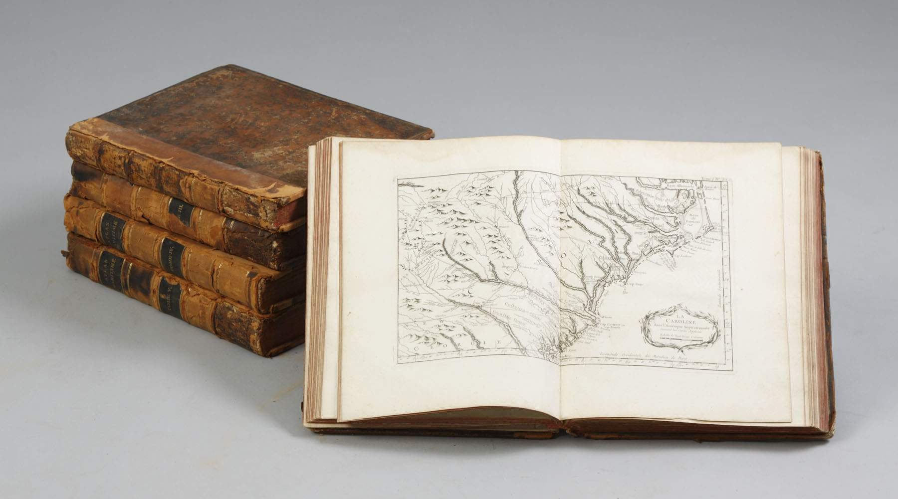
BELLIN, Jacques Nicolas (1703-1772). Le petit Atlas maritime. Recueil de cartes et plans des quatre parties du monde . [Paris]: J.N. Bellin, 1764. 6 parts in 5 volumes, 4° (325 x 248 mm). Engraved general title, 6 engraved part-titles, engraved dedication and indices to each volume by and after Arrivet, and 582 engraved maps, charts and plans [including maps II [39 bis ], 61 bis ; III [3 bis ], 92*, 95*; IV 50*, 109*], 231 double-page and 5 double-page and folding, some coloured by a contemporary hand. (Occasional light browning or spotting, some discolouration to hand-colouring, one folding map with short tears along folds, one map trimmed touching caption, maps V/131 and 132 partially-detached from guard). Contemporary French mottled roan, spines gilt in compartments, gilt morocco lettering-pieces, red edges (somewhat rubbed and scuffed, some flaking, a few unobtrusive wormholes on spines). Provenance : neat early inscriptions in pencil and ink on the margins of some maps adding further details. FIRST EDITION OF BELLIN'S FINELY-ENGRAVED ATLAS, SOME MAPS WITH CONTEMPORARY HAND-COLOURING. As NMM states, although 'many of the maps are reproductions in reduced size of maps and charts occurring in Bellin's previous atlases ... there is also a large amount of fresh material [ Le petit Atlas maritime ]'. The maps and charts in the atlas are arranged geographically thus: volume I: 'L'Amérique septentrionale et les Isles Antilles' (102 plates); volume II: 'L'Amérique méridionale' (91 plates); volume III, part i 'L'Asie' and part ii 'L'Afrique' (127 plates); volume IV 'L'Europe' (130 plates); volume V 'Les costes de France' (132 plates). NMM III/i, 211: calling for 580 maps, but stating (p.236) that the number of maps varies for each edition and copy; Phillips Atlases 638. (5)
BELLIN, Jacques Nicolas (1703-1772). Le petit Atlas maritime. Recueil de cartes et plans des quatre parties du monde . [Paris]: J.N. Bellin, 1764. 6 parts in 5 volumes, 4° (325 x 248 mm). Engraved general title, 6 engraved part-titles, engraved dedication and indices to each volume by and after Arrivet, and 582 engraved maps, charts and plans [including maps II [39 bis ], 61 bis ; III [3 bis ], 92*, 95*; IV 50*, 109*], 231 double-page and 5 double-page and folding, some coloured by a contemporary hand. (Occasional light browning or spotting, some discolouration to hand-colouring, one folding map with short tears along folds, one map trimmed touching caption, maps V/131 and 132 partially-detached from guard). Contemporary French mottled roan, spines gilt in compartments, gilt morocco lettering-pieces, red edges (somewhat rubbed and scuffed, some flaking, a few unobtrusive wormholes on spines). Provenance : neat early inscriptions in pencil and ink on the margins of some maps adding further details. FIRST EDITION OF BELLIN'S FINELY-ENGRAVED ATLAS, SOME MAPS WITH CONTEMPORARY HAND-COLOURING. As NMM states, although 'many of the maps are reproductions in reduced size of maps and charts occurring in Bellin's previous atlases ... there is also a large amount of fresh material [ Le petit Atlas maritime ]'. The maps and charts in the atlas are arranged geographically thus: volume I: 'L'Amérique septentrionale et les Isles Antilles' (102 plates); volume II: 'L'Amérique méridionale' (91 plates); volume III, part i 'L'Asie' and part ii 'L'Afrique' (127 plates); volume IV 'L'Europe' (130 plates); volume V 'Les costes de France' (132 plates). NMM III/i, 211: calling for 580 maps, but stating (p.236) that the number of maps varies for each edition and copy; Phillips Atlases 638. (5)

.jpg)


.jpg)


.jpg?w=400)


Try LotSearch and its premium features for 7 days - without any costs!
Be notified automatically about new items in upcoming auctions.
Create an alert