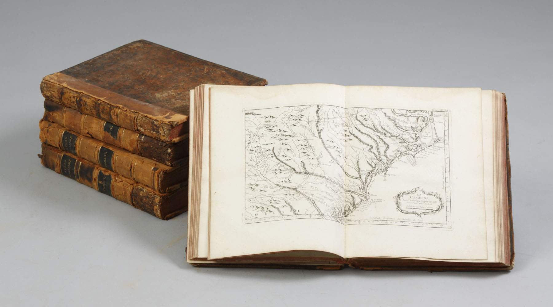
BELLIN, Jacques Nicolas (1703-1772) . Le Petit Atlas maritime recueil de cartes et plans des quatre parties du Monde. Cinquieme volume. [Paris: Bellin,] 1764. First edition, the volume pertaining to the French coast only, of one of the most important maritime atlases published in the 18th-century. All the maps, charts and plans are coloured by a contemporary hand. Jacques Nicolas Bellin held official status as royal hydrographer and ingéniuer géographe de la marine et du Dépôt des Cartes et Plans . He was responsible for compiling atlases of sailing charts for military and official use as well as for commercial publication. His maritime atlas includes 'a large amount of fresh material' (NMM). NMM 211; Nordenskiöld 10; Phillips Atlases 638. One volume (of 5), quarto (314 x 238mm). Engraved divisional titles, engraved index and 132 engraved maps, charts and plans of the French coastline, all coloured by a contemporary hand (occasional very minor staining). Contemporary full cat's paw calf, paneled spine gilt in compartments, red morocco lettering-pieces (head and foot of spine chipped, corners worn, extremities rubbed).
BELLIN, Jacques Nicolas (1703-1772) . Le Petit Atlas maritime recueil de cartes et plans des quatre parties du Monde. Cinquieme volume. [Paris: Bellin,] 1764. First edition, the volume pertaining to the French coast only, of one of the most important maritime atlases published in the 18th-century. All the maps, charts and plans are coloured by a contemporary hand. Jacques Nicolas Bellin held official status as royal hydrographer and ingéniuer géographe de la marine et du Dépôt des Cartes et Plans . He was responsible for compiling atlases of sailing charts for military and official use as well as for commercial publication. His maritime atlas includes 'a large amount of fresh material' (NMM). NMM 211; Nordenskiöld 10; Phillips Atlases 638. One volume (of 5), quarto (314 x 238mm). Engraved divisional titles, engraved index and 132 engraved maps, charts and plans of the French coastline, all coloured by a contemporary hand (occasional very minor staining). Contemporary full cat's paw calf, paneled spine gilt in compartments, red morocco lettering-pieces (head and foot of spine chipped, corners worn, extremities rubbed).

.jpg)


.jpg)


Try LotSearch and its premium features for 7 days - without any costs!
Be notified automatically about new items in upcoming auctions.
Create an alert