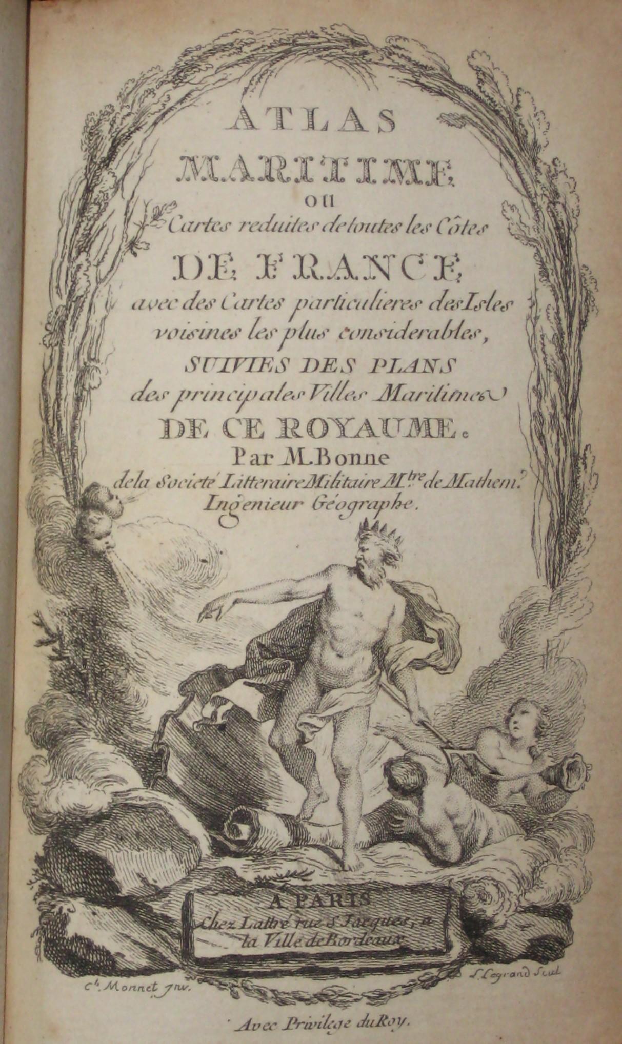
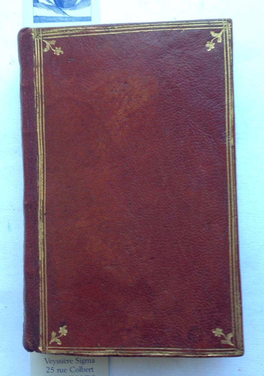
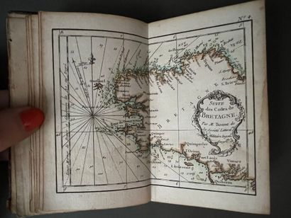
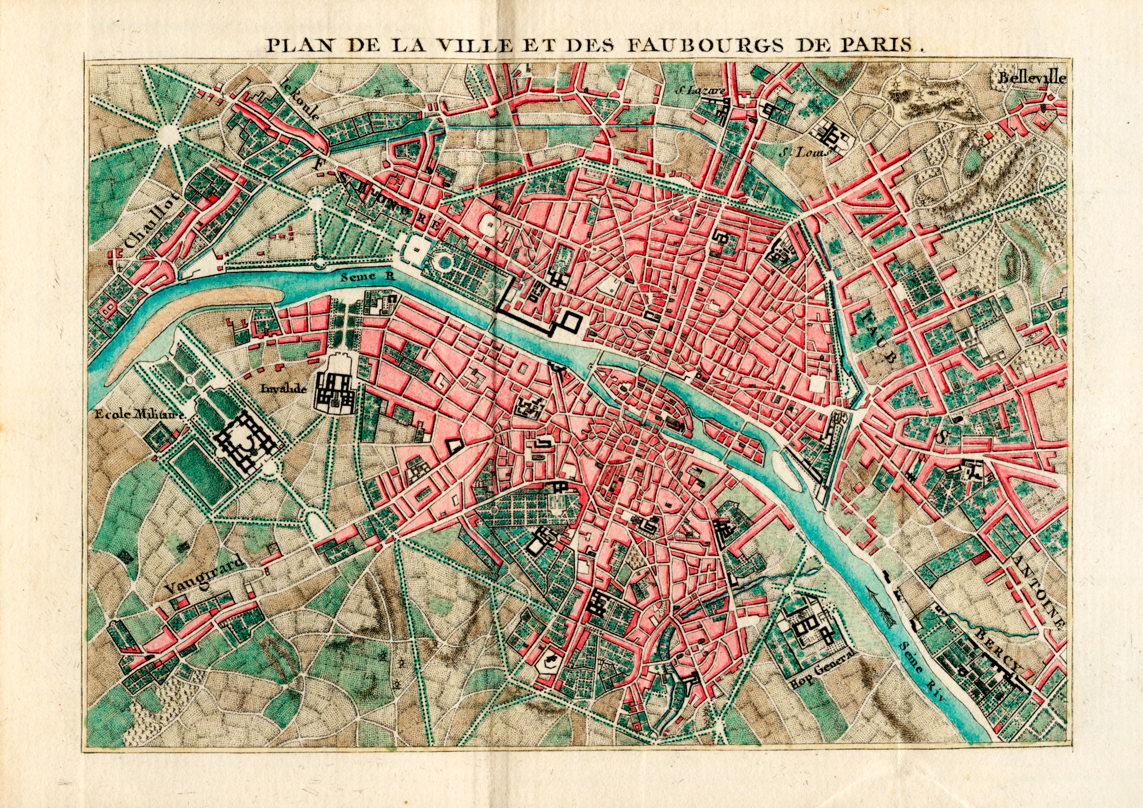
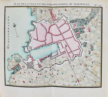
BONNE, Rigobert (1727-1795). Atlas maritime ou cartes réduites de toutes les côtes de France, avec les cartes particulières des isles voisines les plus considérables, suivies des plans des principales villes maritimes de ce royaume . Paris, Lattré, 1762 (date of Approbation). Scarce first edition of this maritime pocket atlas, coloured throughout by a contemporary hand. The text ends with the note: 'Les plans de ce recueil peuvent servir à l'intelligence des belles vuës de nos ports, que donnent M.M. Cochin et Le Bas, d'après les excellens Tableaux de M. Vernet.' Bonne, engineer, mathematician and cartographer, succeeded Jacques-Nicolas-Bellin as hydrographer at the Dépôt de la Marine in 1773. Phillips Atlases 2988; Polak 944 (both calling for 30 maps). 12mo (121 x 80mm). Engraved title, dedication, 32 double-page maps, including general map of France, 8 charts of the French coast and 3 of islands including the Channel Islands, Belle-Ile and Ré et Oléron, 20 city and harbour plans of which Paris, Versailles (both unnumbered and not listed in the contents) and Calais are folding, all with contemporary hand-colouring , engraved text comprising 2 leaves at beginning and 16pp. (paginated 31-46) at end, all mounted on stubs. Contemporary red morocco, gilt spine, turn-ins and edges (extremities lightly rubbed).
BONNE, Rigobert (1727-1795). Atlas maritime ou cartes réduites de toutes les côtes de France, avec les cartes particulières des isles voisines les plus considérables, suivies des plans des principales villes maritimes de ce royaume . Paris, Lattré, 1762 (date of Approbation). Scarce first edition of this maritime pocket atlas, coloured throughout by a contemporary hand. The text ends with the note: 'Les plans de ce recueil peuvent servir à l'intelligence des belles vuës de nos ports, que donnent M.M. Cochin et Le Bas, d'après les excellens Tableaux de M. Vernet.' Bonne, engineer, mathematician and cartographer, succeeded Jacques-Nicolas-Bellin as hydrographer at the Dépôt de la Marine in 1773. Phillips Atlases 2988; Polak 944 (both calling for 30 maps). 12mo (121 x 80mm). Engraved title, dedication, 32 double-page maps, including general map of France, 8 charts of the French coast and 3 of islands including the Channel Islands, Belle-Ile and Ré et Oléron, 20 city and harbour plans of which Paris, Versailles (both unnumbered and not listed in the contents) and Calais are folding, all with contemporary hand-colouring , engraved text comprising 2 leaves at beginning and 16pp. (paginated 31-46) at end, all mounted on stubs. Contemporary red morocco, gilt spine, turn-ins and edges (extremities lightly rubbed).





Try LotSearch and its premium features for 7 days - without any costs!
Be notified automatically about new items in upcoming auctions.
Create an alert