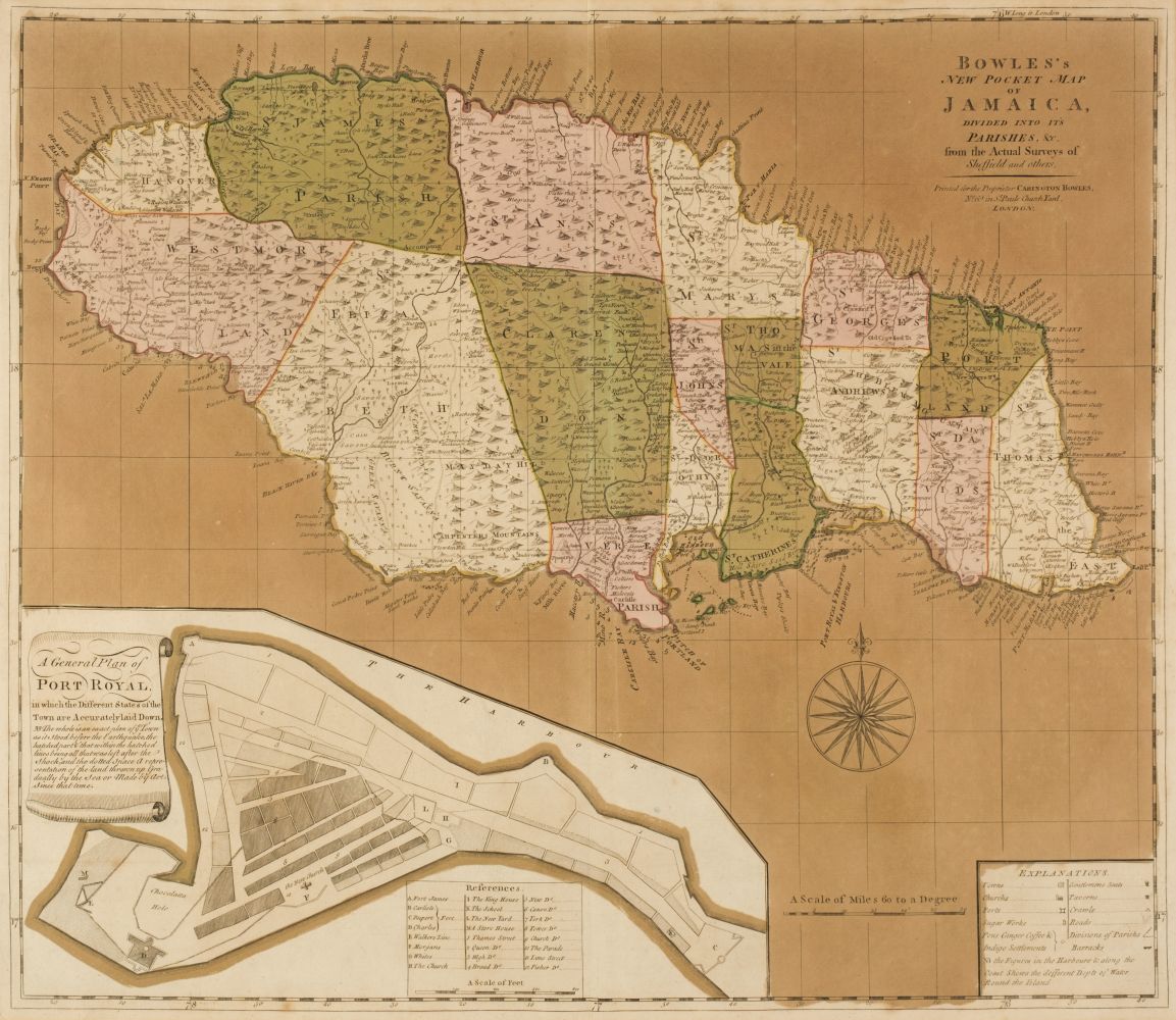
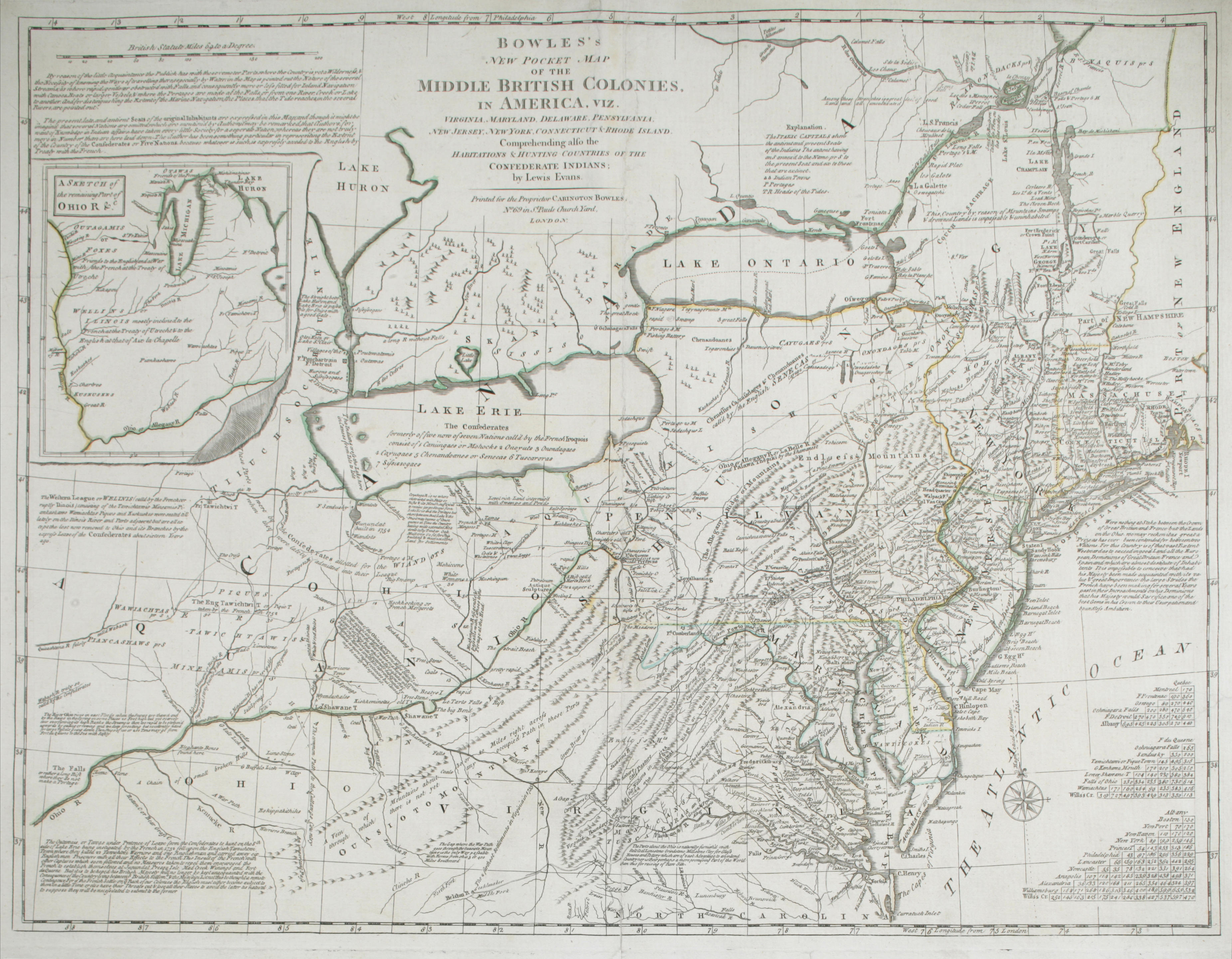
Title: Bowles's New Pocket Map of North America Divided into its Provinces, Colonies, States, etc., by J. Palairet, Geographer, Lately Revised and Improved with Many Additions from d'Anville, Michel, & Bellin, by J. Delarochette Author: Delarochette, Louis Place: London Publisher: Carrington Bowles Date: 1784 Description: Copper-engreaved map, hand-colored in outline. 47x57.4 cm. (18½x22½"), neatly hinged to backing board. Well-engraved map on thick paper, not a folding pocket map as implied by the title. Shows all of North America (except for the undetermined far northwest), plus Central America and the top of South America, and the West Indies. The "XIII United States" are named on the map, and there is a table designating the ownership of the various lands and islands, divided among Britain, the United States, France, Spain, the Dutch, and Denmark. Louis Stanislaw d'Arcy Delarochette (1731-1802) was a prolific British cartographer of Huguenot decent, who worked with many of London’s leading map publishers. Lot Amendments Condition: Some light, stray foxing; very good or better. Item number: 254299
Title: Bowles's New Pocket Map of North America Divided into its Provinces, Colonies, States, etc., by J. Palairet, Geographer, Lately Revised and Improved with Many Additions from d'Anville, Michel, & Bellin, by J. Delarochette Author: Delarochette, Louis Place: London Publisher: Carrington Bowles Date: 1784 Description: Copper-engreaved map, hand-colored in outline. 47x57.4 cm. (18½x22½"), neatly hinged to backing board. Well-engraved map on thick paper, not a folding pocket map as implied by the title. Shows all of North America (except for the undetermined far northwest), plus Central America and the top of South America, and the West Indies. The "XIII United States" are named on the map, and there is a table designating the ownership of the various lands and islands, divided among Britain, the United States, France, Spain, the Dutch, and Denmark. Louis Stanislaw d'Arcy Delarochette (1731-1802) was a prolific British cartographer of Huguenot decent, who worked with many of London’s leading map publishers. Lot Amendments Condition: Some light, stray foxing; very good or better. Item number: 254299


Try LotSearch and its premium features for 7 days - without any costs!
Be notified automatically about new items in upcoming auctions.
Create an alert