Atlas Major, vertoonende alle de gewesten der waereld.
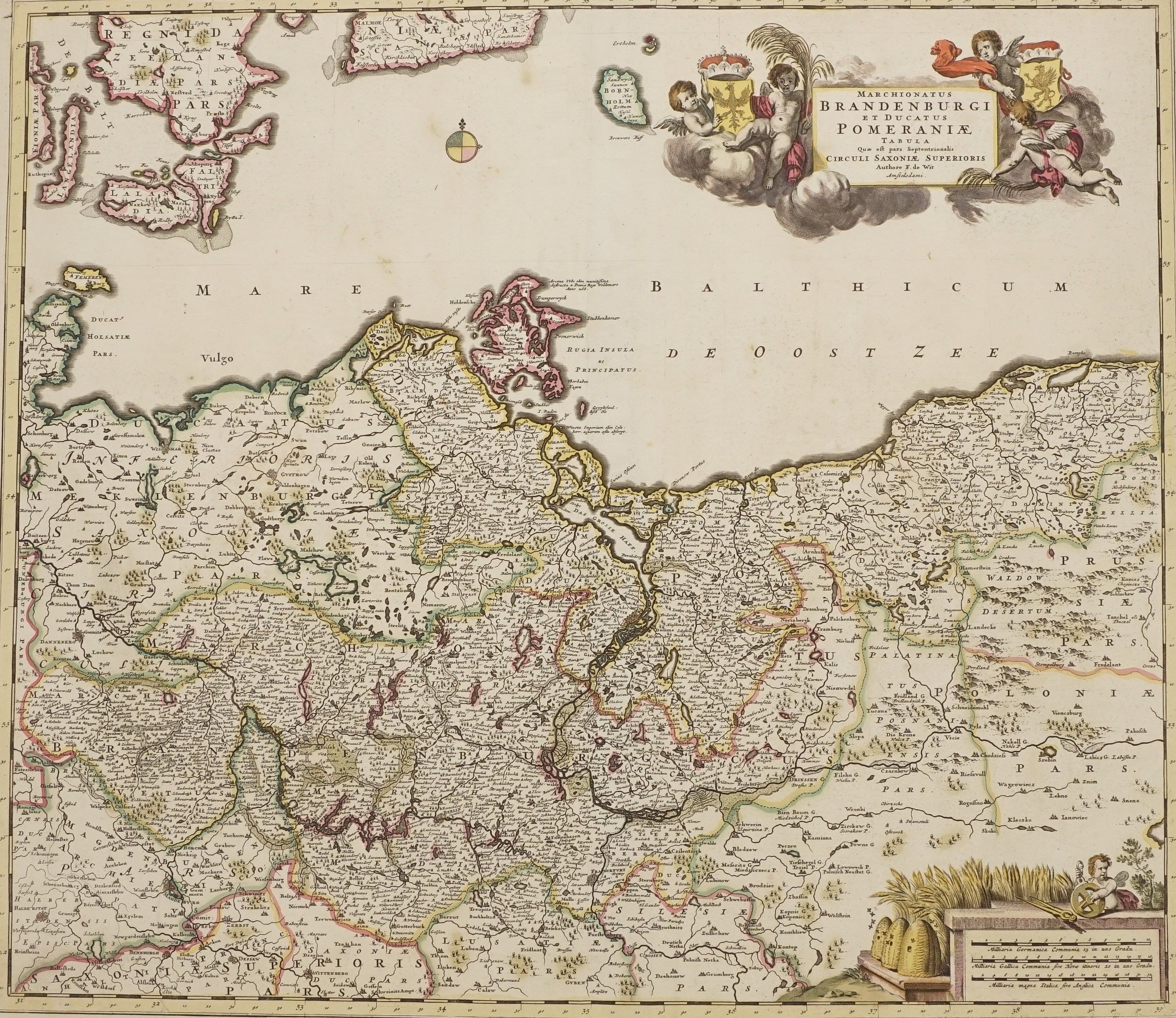
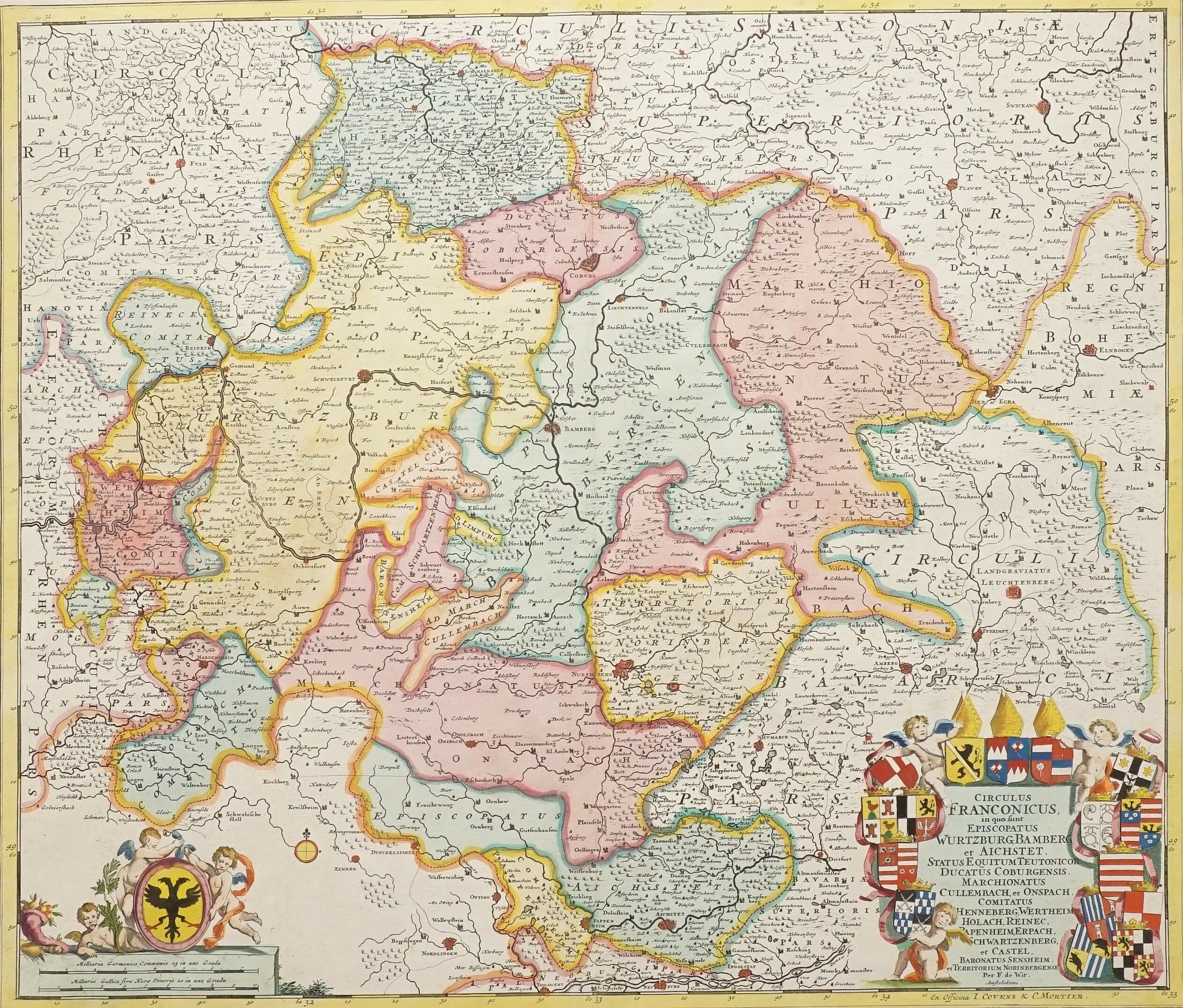
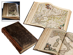
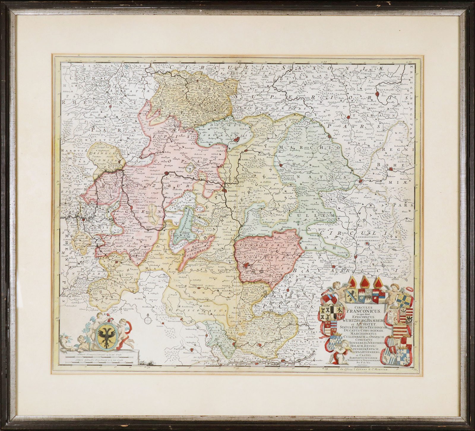
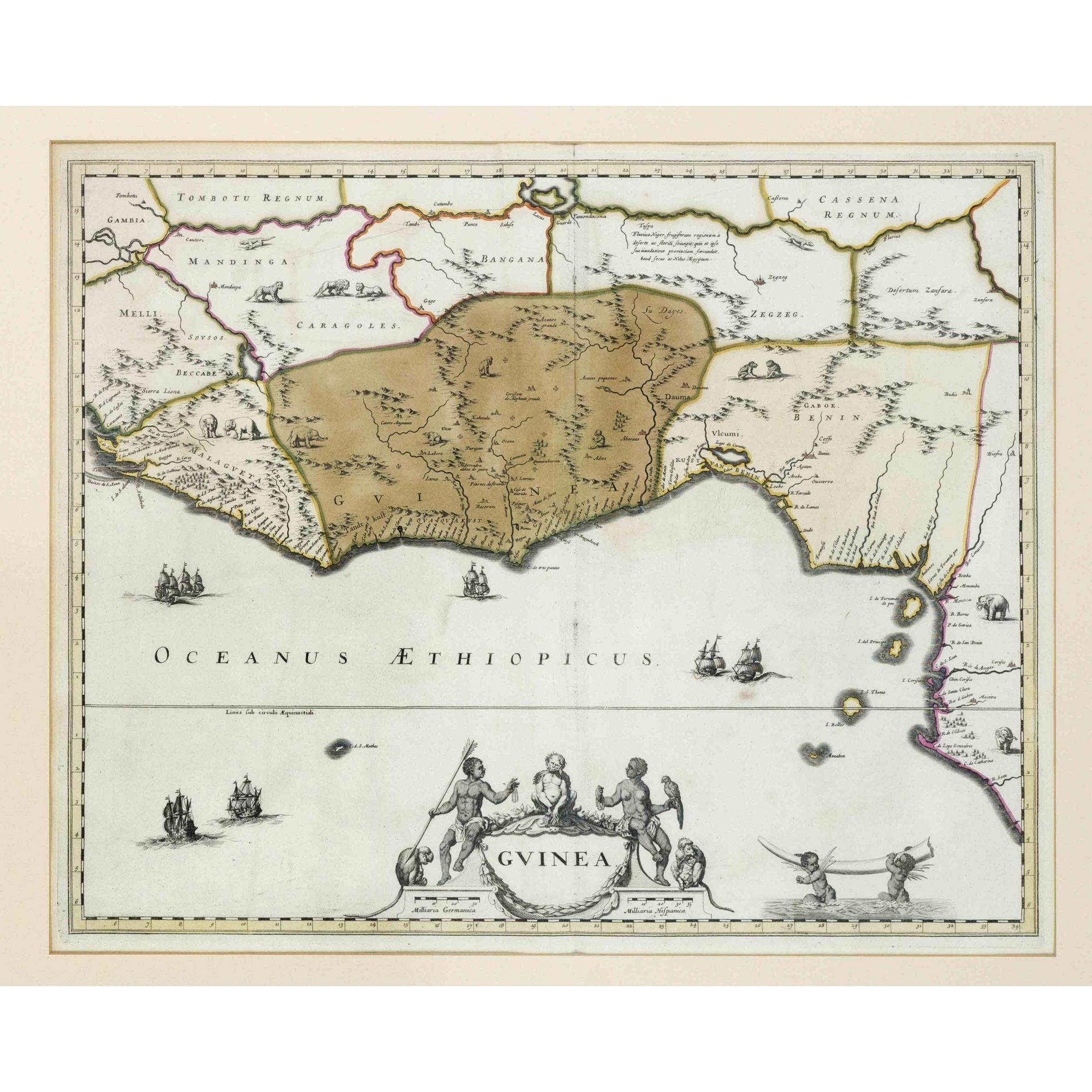
Amsterdam: Covens & Mortier, [c.1710] Folio (22 1/2 x 14 1/2 in). Two volumes, both with engraved frontispieces, title page, 186 double-page engraved map, all maps finely finely colored in outline, contemporary quarter red morocco and marbled paper over boards. Condition : rubbed and scuffed. Provenance : bookplate (John Clevland). A very fine Covens and Mortier composite atlas. A magnificent composite atlas representing one of the most complete collections of Covens and Mortier's reissues of the plates of De Wit According to Koeman, the De Wit Atlas Major is one of the most complete copies extant, containing 186 plates and 190 sheets, including title and printed indices. The only other comparable example being that of the New York Public Library, with an identical collation. The contents of the atlases are as follows: The two De Wit volumes together contain 1 planisphere, 1 hemisphere, 1 map of Europe, 7 maps of the British Isles, 20 maps of Scandinavia, 5 maps of Poland and Lithuania, 7 maps of Russia, 37 maps of Austria and Germany, 1 map of Switzerland, 16 maps of France, 1 map of Portugal, 7 maps of Spain, 10 maps of Italy, 2 maps of Dalmatia, 2 maps of Hungary, 3 maps of Greece, 1 map of Malta, 1 map of Cyprus, 31 maps of the Netherlands and Belgium and 1 of Luxemburg, 10 maps of Asia, 8 maps of Africa, and 12 maps of North- and South-America. 57 Maps are by De Wit 1 by Vignola, 1 by Blaeu, 2 by Delisle and 1 by Van der Aa. In 1710, ten years after De Wit's death, Pieter Mortier purchased his stock and plates, amongst which were some the plates produced by Blaeu that had been auctioned in 1674 and purchased by De Wit twenty years later. Mortier associated himself with Jan Covens and together they produced numerous atlasses. Because these were assembled to order no two copies are the same, this is especially true for the Atlas Major. Koeman, C & M 1 and 2; Lenglet Dufresnoy, Catalogue des meilleures cartes geographiques, Amsterdam, Meridian Publishing Co, 1965.







Try LotSearch and its premium features for 7 days - without any costs!
Be notified automatically about new items in upcoming auctions.
Create an alert