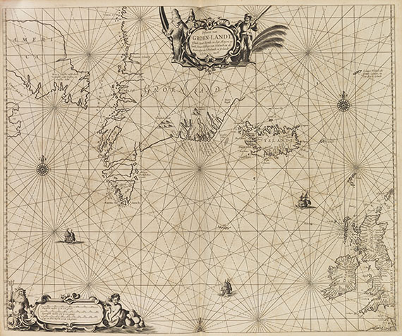
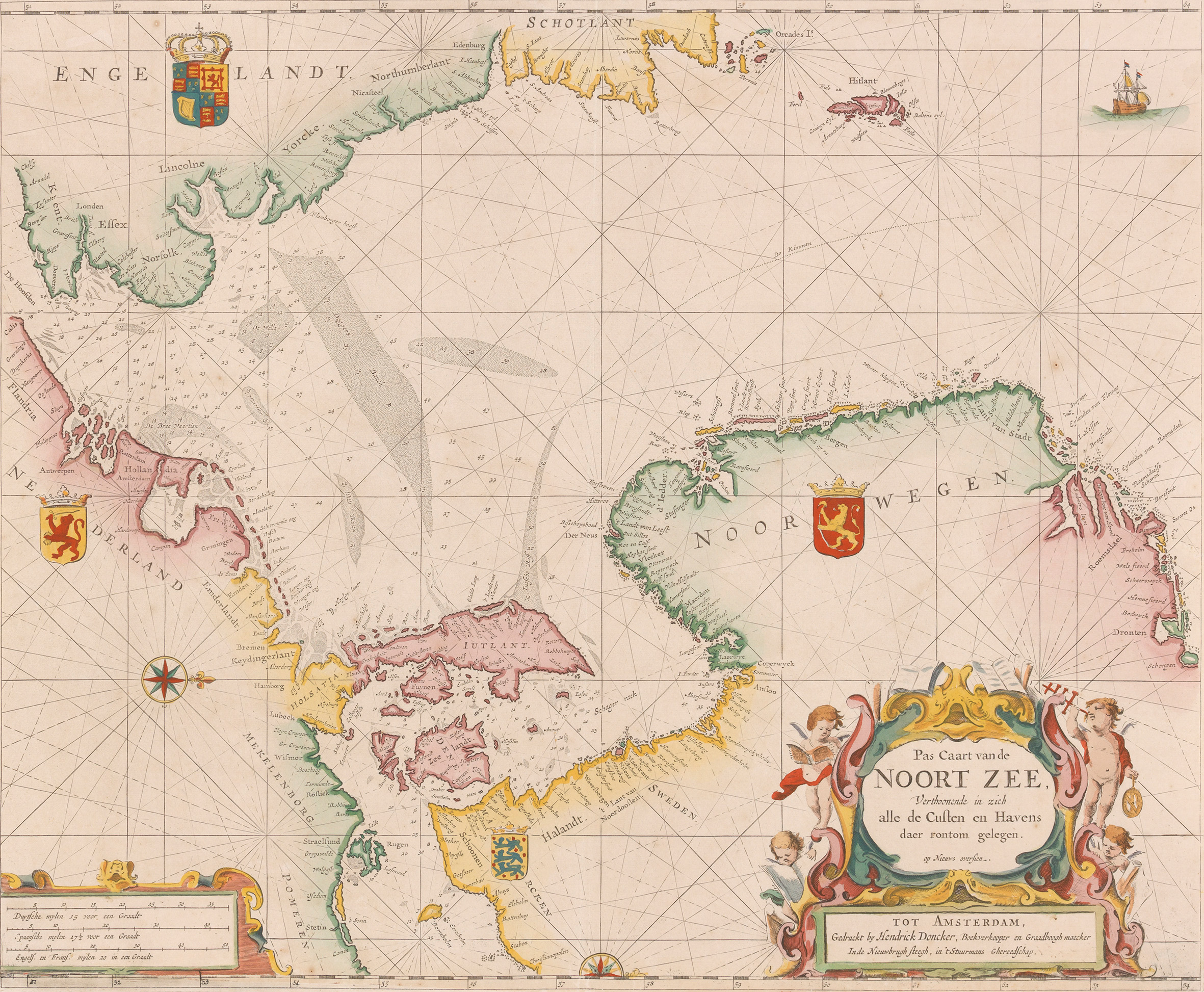
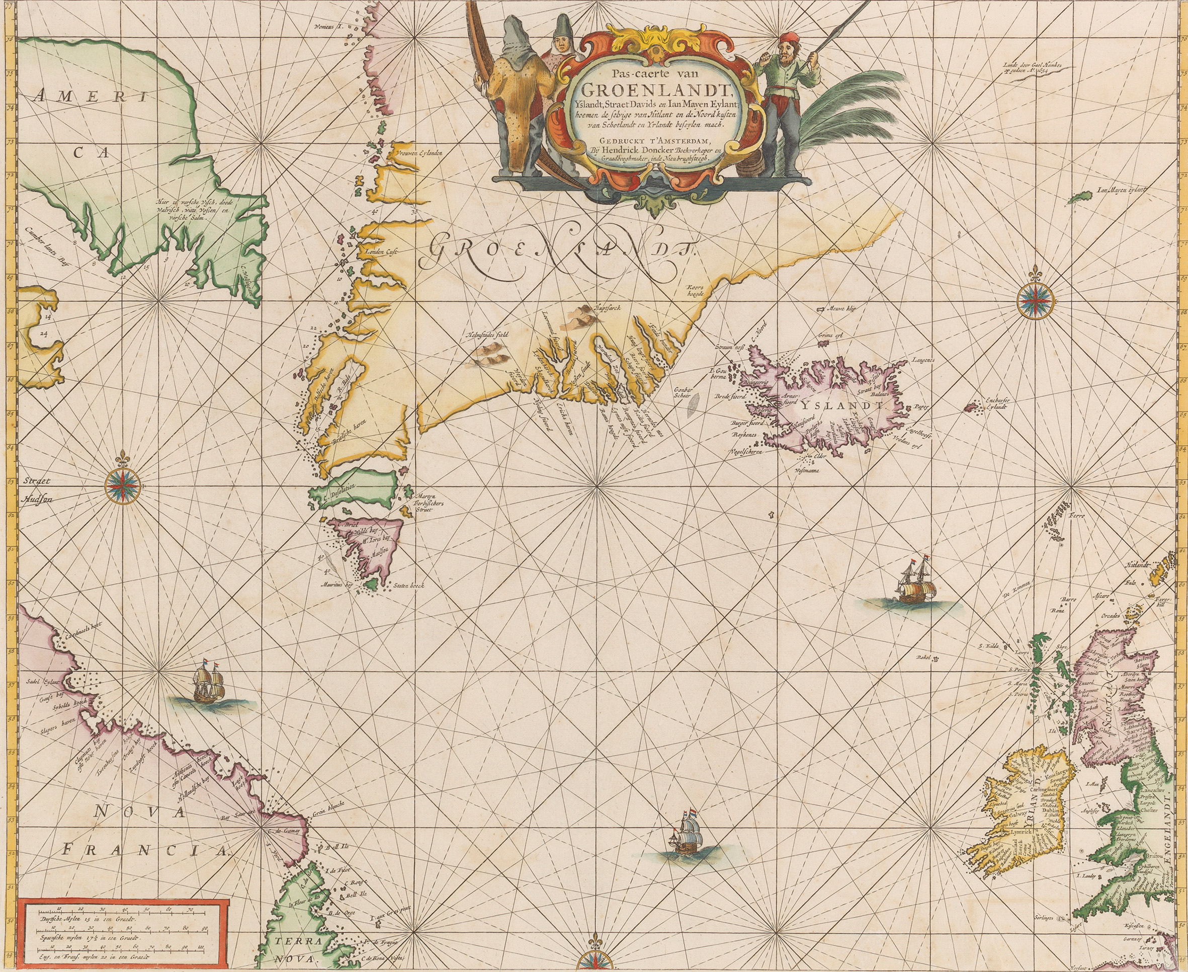
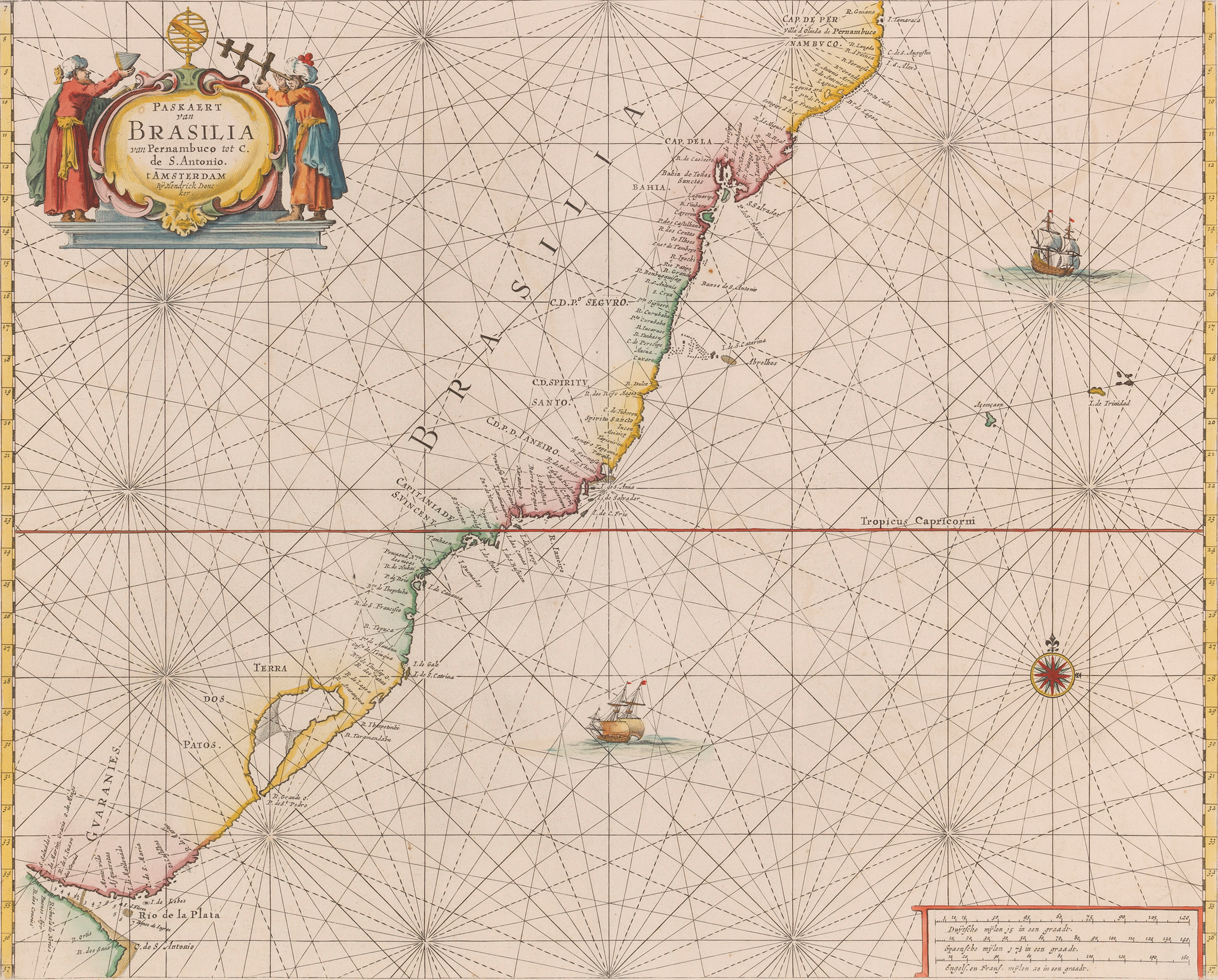
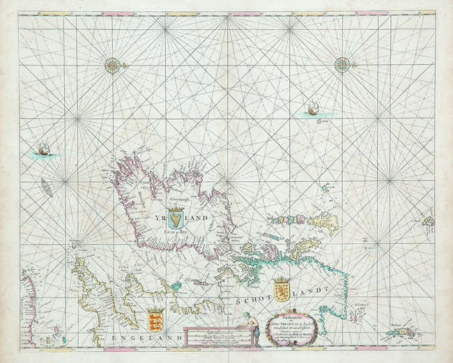
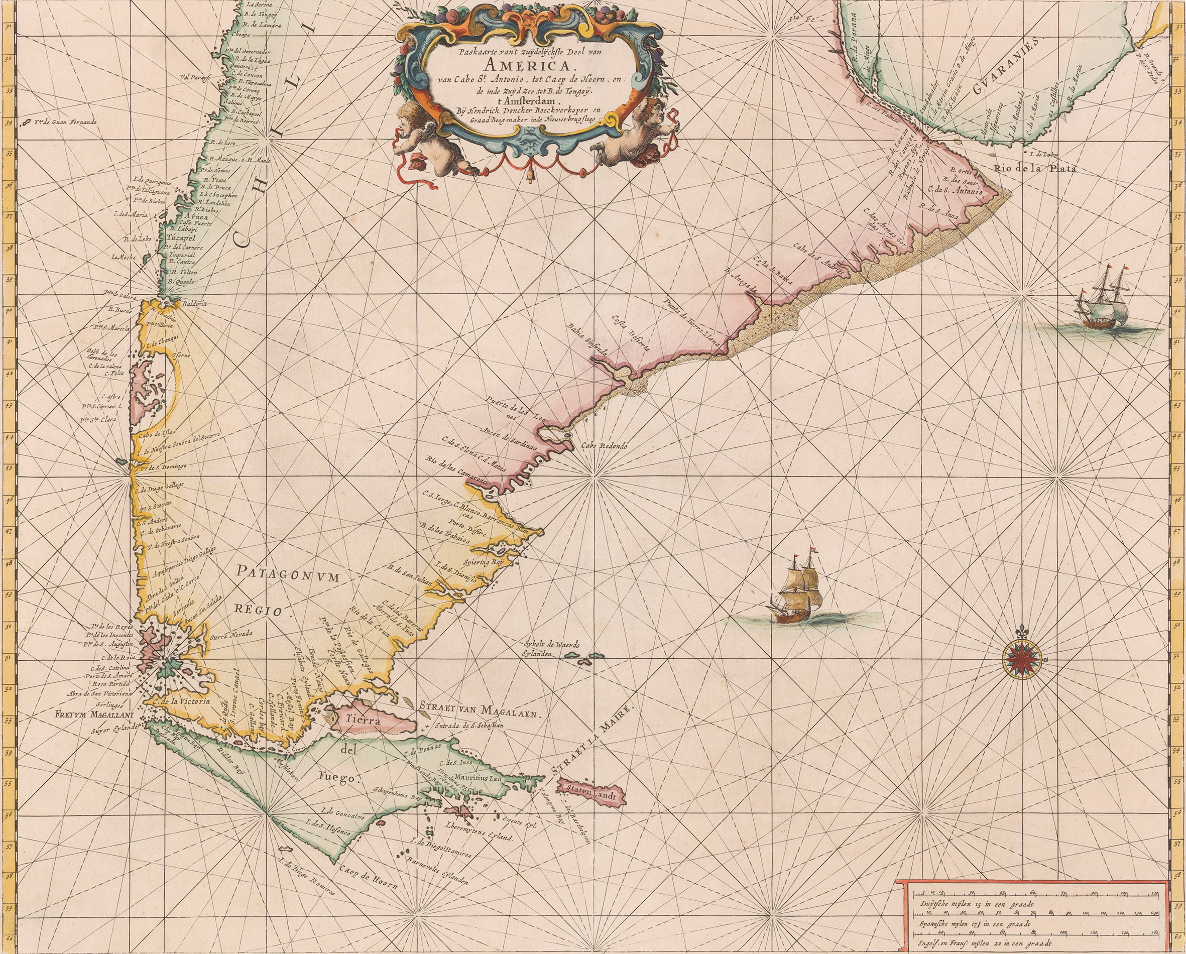
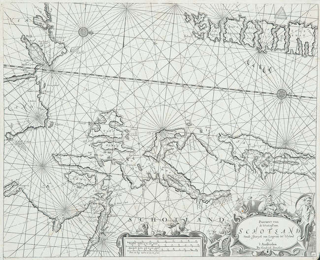
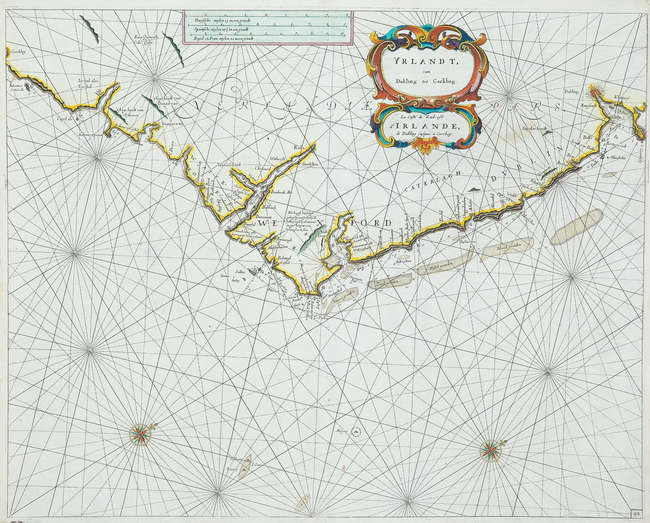
DONCKER, Hendrick (1626-1699). De Zee-Atlas of Water-Waerelt . Amsterdam: Hendrick Doncker 1666. Hand-coloured copy of Doncker ’ s constantly evolving sea-atlas. ‘Doncker’s charts were the most up-to-date in the second half of the 17th century’ (Koeman). Between 1659 and 1669, he increased the number of charts in his atlas from 19 to 30, and in 1669 he even produced an edition with 50 charts. This edition includes all but one of the charts of the Dutch edition of 1661, four from the Spanish edition of 1665 and three new charts, all signed by Doncker. There are 5 maps of North American interest: Greenland (Burden I, 337, state 2), Caribbean (339, state 1), Brazil (338, state 1), California (340, state 1 'It depicts California as an island on a larger scale than any earlier sea chart') and the New Netherlands (I, 348, state 1). The double-hemisphere world map is Shirley 421, the map of Arabia is Tibbets 102, and that showing Australia is Tooley Australia 451. Koeman IV, Don 9B; NMM III(1), 86. Folio (455 x 289mm). Hand-coloured engraved title and 32 engraved double-page charts on guards, all with contemporary hand colour (title stained at margins, world map with 45mm tear repaired on verso, map of the English channel lightly browned, spotting to charts of Portugal and the West Indies, a few others more slightly affected, charts of Arabia and California waterstained). Old vellum (covers bowed, new pastedowns).
DONCKER, Hendrick (1626-1699). De Zee-Atlas of Water-Waerelt . Amsterdam: Hendrick Doncker 1666. Hand-coloured copy of Doncker ’ s constantly evolving sea-atlas. ‘Doncker’s charts were the most up-to-date in the second half of the 17th century’ (Koeman). Between 1659 and 1669, he increased the number of charts in his atlas from 19 to 30, and in 1669 he even produced an edition with 50 charts. This edition includes all but one of the charts of the Dutch edition of 1661, four from the Spanish edition of 1665 and three new charts, all signed by Doncker. There are 5 maps of North American interest: Greenland (Burden I, 337, state 2), Caribbean (339, state 1), Brazil (338, state 1), California (340, state 1 'It depicts California as an island on a larger scale than any earlier sea chart') and the New Netherlands (I, 348, state 1). The double-hemisphere world map is Shirley 421, the map of Arabia is Tibbets 102, and that showing Australia is Tooley Australia 451. Koeman IV, Don 9B; NMM III(1), 86. Folio (455 x 289mm). Hand-coloured engraved title and 32 engraved double-page charts on guards, all with contemporary hand colour (title stained at margins, world map with 45mm tear repaired on verso, map of the English channel lightly browned, spotting to charts of Portugal and the West Indies, a few others more slightly affected, charts of Arabia and California waterstained). Old vellum (covers bowed, new pastedowns).






Try LotSearch and its premium features for 7 days - without any costs!
Be notified automatically about new items in upcoming auctions.
Create an alert