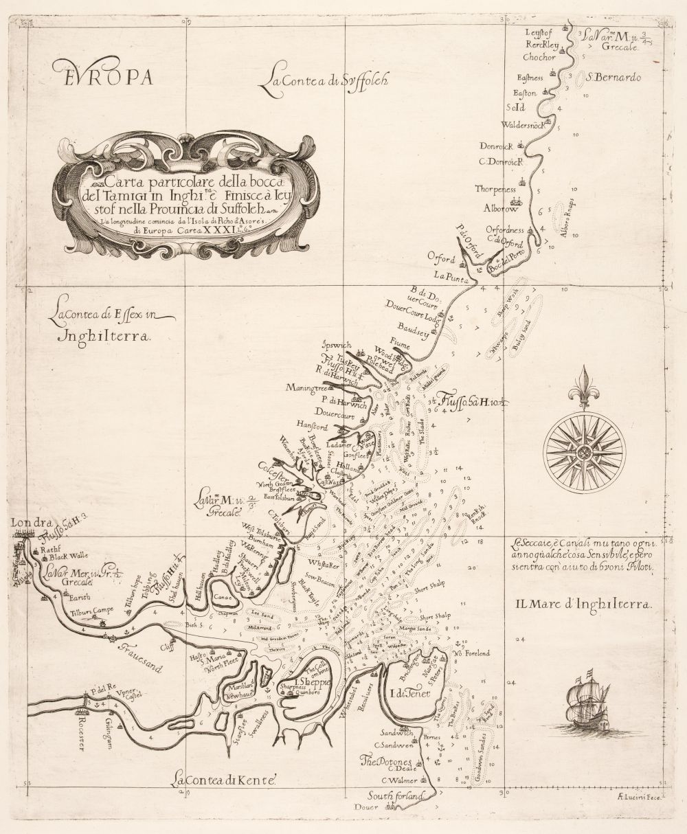
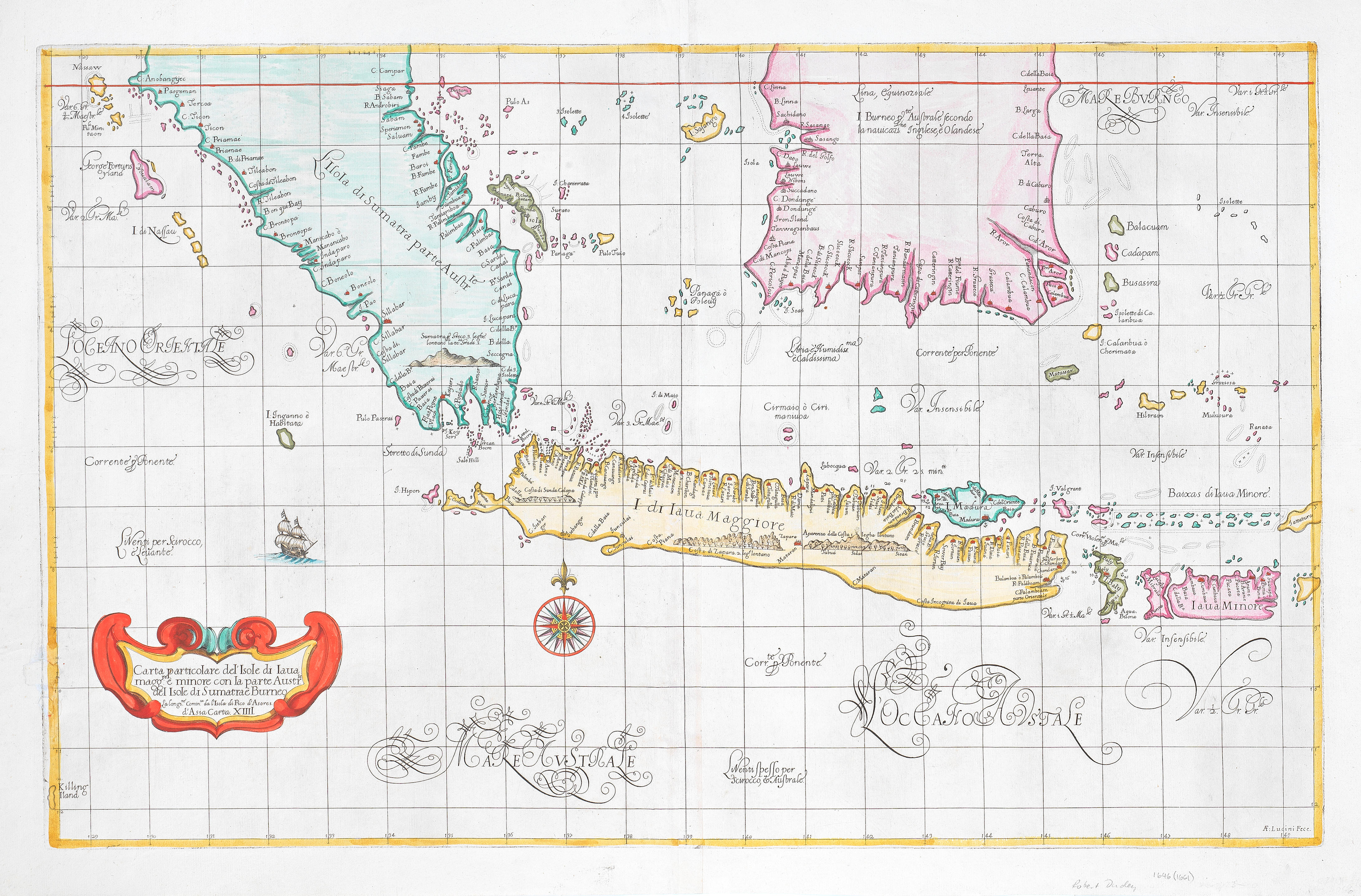
DUDLEY, Robert (1573-1649). Carta particolare della costa di Guasconnia in Francia che comincia con il Fiuime di Burdeaux e Finisce con l'Isola di Heys . [Florence: Giuseppe Cocchini, probably 1661]. Beautifully engraved chart of the western coast of Gascony and Bordeaux in France, signed by the engraver Antonio Francesco Lucini The chart includes the Ile de Re and Ile d'Oleron near La Rochelle, and comes from the Arcano del Mare , one of the 'greatest atlases of the world' (Wardington). The first edition appeared in 1646, claiming the title to be the first ever sea atlas to be published, as well as the first to use Mercator's projection. Moreover, it showed magnetic deviation, currents and prevailing winds. Cf. Phillips Atlases 457, 458 and 3428; Shirley BL , M.DUD-1a–1e, map 42. Engraved single-sheet chart, verso blank, compass rose, title cartouche within border, numbered '42' in bottom right-hand corner, 475 x 392mm (plate mark), 520 x 410 (sheet).
DUDLEY, Robert (1573-1649). Carta particolare della costa di Guasconnia in Francia che comincia con il Fiuime di Burdeaux e Finisce con l'Isola di Heys . [Florence: Giuseppe Cocchini, probably 1661]. Beautifully engraved chart of the western coast of Gascony and Bordeaux in France, signed by the engraver Antonio Francesco Lucini The chart includes the Ile de Re and Ile d'Oleron near La Rochelle, and comes from the Arcano del Mare , one of the 'greatest atlases of the world' (Wardington). The first edition appeared in 1646, claiming the title to be the first ever sea atlas to be published, as well as the first to use Mercator's projection. Moreover, it showed magnetic deviation, currents and prevailing winds. Cf. Phillips Atlases 457, 458 and 3428; Shirley BL , M.DUD-1a–1e, map 42. Engraved single-sheet chart, verso blank, compass rose, title cartouche within border, numbered '42' in bottom right-hand corner, 475 x 392mm (plate mark), 520 x 410 (sheet).


.jpg)

.jpg)


.jpg?w=400?width=1600&quality=70)
Try LotSearch and its premium features for 7 days - without any costs!
Be notified automatically about new items in upcoming auctions.
Create an alert