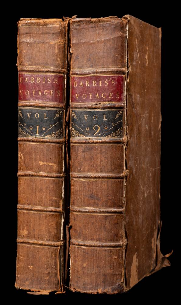
HARRIS, John (1667?-1719). Navigantium atque itinerantium bibliotheca. Or, a Complete Collection of Voyages and Travels. London: T. Woodward, A. Ward, et al., 1744-1748. A fine set of the second and best edition, especially prized for its maps – particularly Tasman’s map of the 'Southern Continent' and perhaps the earliest map to depict Bering's Great Northern Expedition. First published in 1705, this edition of Harris's anthology of travel tales contains many more plates and maps than the first. Cox I, 10; Hill 775; Lada-Mocarski 3; Sabin 30483. Two volumes, folio (413 x 251mm). Titles printed in red and black. 40 engraved plates (the plate of the 'Tartar Camp in Motion' in duplicate at pp.559 and 674 in vol. I) and 22 maps, of which 15 folding, with the copyright leaf at beginning of vol. I (a few plates cropped close, short marginal tears to plate of Batavia, text leaves 5P2 and 6C2 in vol. I, marginal tears in vol. II to plate of Pont du Gard, as well as to text leaves N2 and 6C1 which extend into text but without loss, scattered light spotting and browning, heaviest to gathering 12B in vol. II). Contemporary calf (rebacked, corners repaired, extremities rubbed).
HARRIS, John (1667?-1719). Navigantium atque itinerantium bibliotheca. Or, a Complete Collection of Voyages and Travels. London: T. Woodward, A. Ward, et al., 1744-1748. A fine set of the second and best edition, especially prized for its maps – particularly Tasman’s map of the 'Southern Continent' and perhaps the earliest map to depict Bering's Great Northern Expedition. First published in 1705, this edition of Harris's anthology of travel tales contains many more plates and maps than the first. Cox I, 10; Hill 775; Lada-Mocarski 3; Sabin 30483. Two volumes, folio (413 x 251mm). Titles printed in red and black. 40 engraved plates (the plate of the 'Tartar Camp in Motion' in duplicate at pp.559 and 674 in vol. I) and 22 maps, of which 15 folding, with the copyright leaf at beginning of vol. I (a few plates cropped close, short marginal tears to plate of Batavia, text leaves 5P2 and 6C2 in vol. I, marginal tears in vol. II to plate of Pont du Gard, as well as to text leaves N2 and 6C1 which extend into text but without loss, scattered light spotting and browning, heaviest to gathering 12B in vol. II). Contemporary calf (rebacked, corners repaired, extremities rubbed).


Try LotSearch and its premium features for 7 days - without any costs!
Be notified automatically about new items in upcoming auctions.
Create an alert