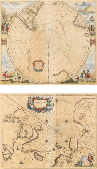
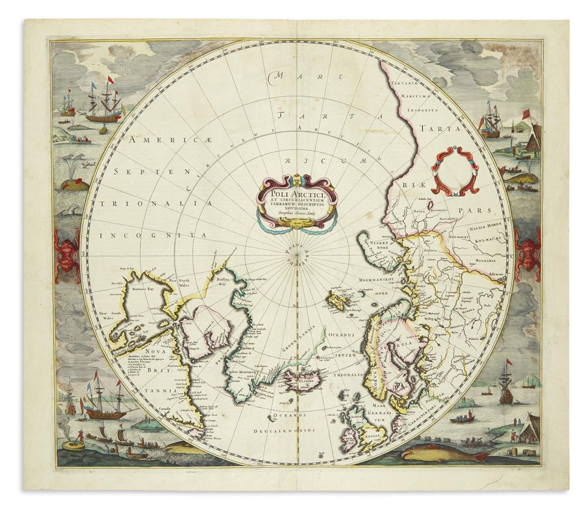
HONDIUS, Henricus (1597-1651). Poli Arctici, et Circumiacentium Terrarum Descriptio Novissima . [Amsterdam: 1639]. Hondius' important map of the polar region is one of the most decorative maps of the North Pole. It incorporates much English knowledge of the Northwest Passage, drawing upon the cartography of Henry Briggs of Hudson Bay, with that of its western coast from Thomas James The increasing accuracy of the cartography is demonstrated by the omission of the former imaginary islands of the north Atlantic. The present lot is Burden's third state (Kershaw's second state), which has for the first time Dutch whaling ships in the surrounding borders. This Dutch influence is manifest in the Dutch toponyms that appear in Labrador for the first time on this map. Burden I, 246; Kershaw 100; Van der Krogt I, 0020:1B. Double-page engraved map in contemporary outline colour with the cartouches and surrounding whaling scenes fully coloured, French text on verso, 440 x 499mm (plate mark), 491 x 572mm (sheet).
HONDIUS, Henricus (1597-1651). Poli Arctici, et Circumiacentium Terrarum Descriptio Novissima . [Amsterdam: 1639]. Hondius' important map of the polar region is one of the most decorative maps of the North Pole. It incorporates much English knowledge of the Northwest Passage, drawing upon the cartography of Henry Briggs of Hudson Bay, with that of its western coast from Thomas James The increasing accuracy of the cartography is demonstrated by the omission of the former imaginary islands of the north Atlantic. The present lot is Burden's third state (Kershaw's second state), which has for the first time Dutch whaling ships in the surrounding borders. This Dutch influence is manifest in the Dutch toponyms that appear in Labrador for the first time on this map. Burden I, 246; Kershaw 100; Van der Krogt I, 0020:1B. Double-page engraved map in contemporary outline colour with the cartouches and surrounding whaling scenes fully coloured, French text on verso, 440 x 499mm (plate mark), 491 x 572mm (sheet).


Try LotSearch and its premium features for 7 days - without any costs!
Be notified automatically about new items in upcoming auctions.
Create an alert