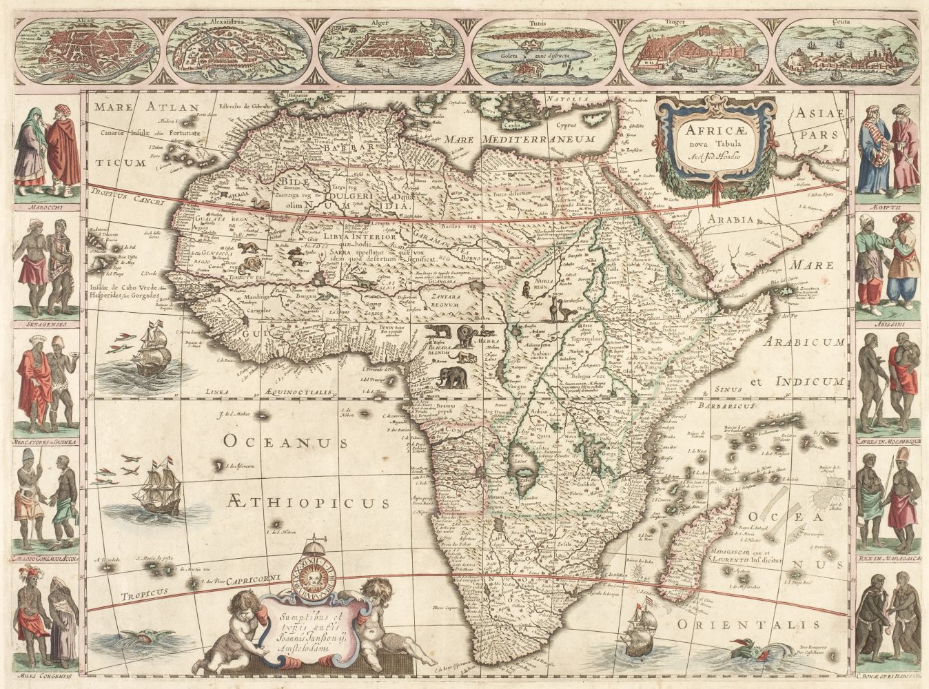
MAPS OF THE FOUR CONTINENTS. 1. Nova Europae Descriptio. Amsterdam: Jan Jansonnius, [1623]. 2. Africae Nova Tabulae. Amsterdam: Jan Janssonius, 1623. 3. Asia Recens Summa Cura Delineata. Amsterdam: Jan Janssonius, 1623. 4. America Noviter Delineata. Amsterdam: Jan Janssonius, [c.1630]. Together 4 hand-colored double-paged copper-engraved maps with paneled borders, each 460 x 570 mm, versos blank, some creasing and marginal fraying, marginal soiling, skillful repairs to lower margin of Africae, nearly imperceptible paper flaw to Europae. EXTREMELY RARE SET OF THE SEPARATELY PRINTED BROADSHEET ISSUES OF HONDIUS' "CARTE-À-FIGURE" CONTINENTAL MAPS, which were either commissioned or engraved by the Dutch publisher Pieter van den Keere (1571-c.1646), as 3 of the maps bear his trademark skull surrounded by flames. Second states of Africae and Asia, with the 1623 imprints of Joannes Janssonius, second state of Europae with Joannes Janssonius' undated imprint, and Burden's second state (Schilder's third) of America, with the top right-hand corner of the plate broken off, three skulls in the cartouche, the fish to the left of the cartouche facing right, and the lower border intact. There is only one known example of state 1, at the Library of Congress. "In 1623 [Janssonius] produced a set of maps derived from those of his brother-in-law Jodocus in 1618-19. Of these, Africa and Asia bear the date 1623 ..." (Burden 207). In all of the maps, the scenes in the borders are the mirror image of those appearing in the first issue maps (which bear the Hondius imprint). Geographically the maps are identical to those of Hondius, though some bear notable exceptions, including a new and more correct depiction of Tierra del Fuego, and the islands discovered by le Maire and Schouten in the Pacific on the map of America. Betz Mapping of Africa 60.2; Schilder Monumenta Cartographica Neerlandica 6 Maps 28.2, 13.2, 23.2, 18.3.
MAPS OF THE FOUR CONTINENTS. 1. Nova Europae Descriptio. Amsterdam: Jan Jansonnius, [1623]. 2. Africae Nova Tabulae. Amsterdam: Jan Janssonius, 1623. 3. Asia Recens Summa Cura Delineata. Amsterdam: Jan Janssonius, 1623. 4. America Noviter Delineata. Amsterdam: Jan Janssonius, [c.1630]. Together 4 hand-colored double-paged copper-engraved maps with paneled borders, each 460 x 570 mm, versos blank, some creasing and marginal fraying, marginal soiling, skillful repairs to lower margin of Africae, nearly imperceptible paper flaw to Europae. EXTREMELY RARE SET OF THE SEPARATELY PRINTED BROADSHEET ISSUES OF HONDIUS' "CARTE-À-FIGURE" CONTINENTAL MAPS, which were either commissioned or engraved by the Dutch publisher Pieter van den Keere (1571-c.1646), as 3 of the maps bear his trademark skull surrounded by flames. Second states of Africae and Asia, with the 1623 imprints of Joannes Janssonius, second state of Europae with Joannes Janssonius' undated imprint, and Burden's second state (Schilder's third) of America, with the top right-hand corner of the plate broken off, three skulls in the cartouche, the fish to the left of the cartouche facing right, and the lower border intact. There is only one known example of state 1, at the Library of Congress. "In 1623 [Janssonius] produced a set of maps derived from those of his brother-in-law Jodocus in 1618-19. Of these, Africa and Asia bear the date 1623 ..." (Burden 207). In all of the maps, the scenes in the borders are the mirror image of those appearing in the first issue maps (which bear the Hondius imprint). Geographically the maps are identical to those of Hondius, though some bear notable exceptions, including a new and more correct depiction of Tierra del Fuego, and the islands discovered by le Maire and Schouten in the Pacific on the map of America. Betz Mapping of Africa 60.2; Schilder Monumenta Cartographica Neerlandica 6 Maps 28.2, 13.2, 23.2, 18.3.


Try LotSearch and its premium features for 7 days - without any costs!
Be notified automatically about new items in upcoming auctions.
Create an alert