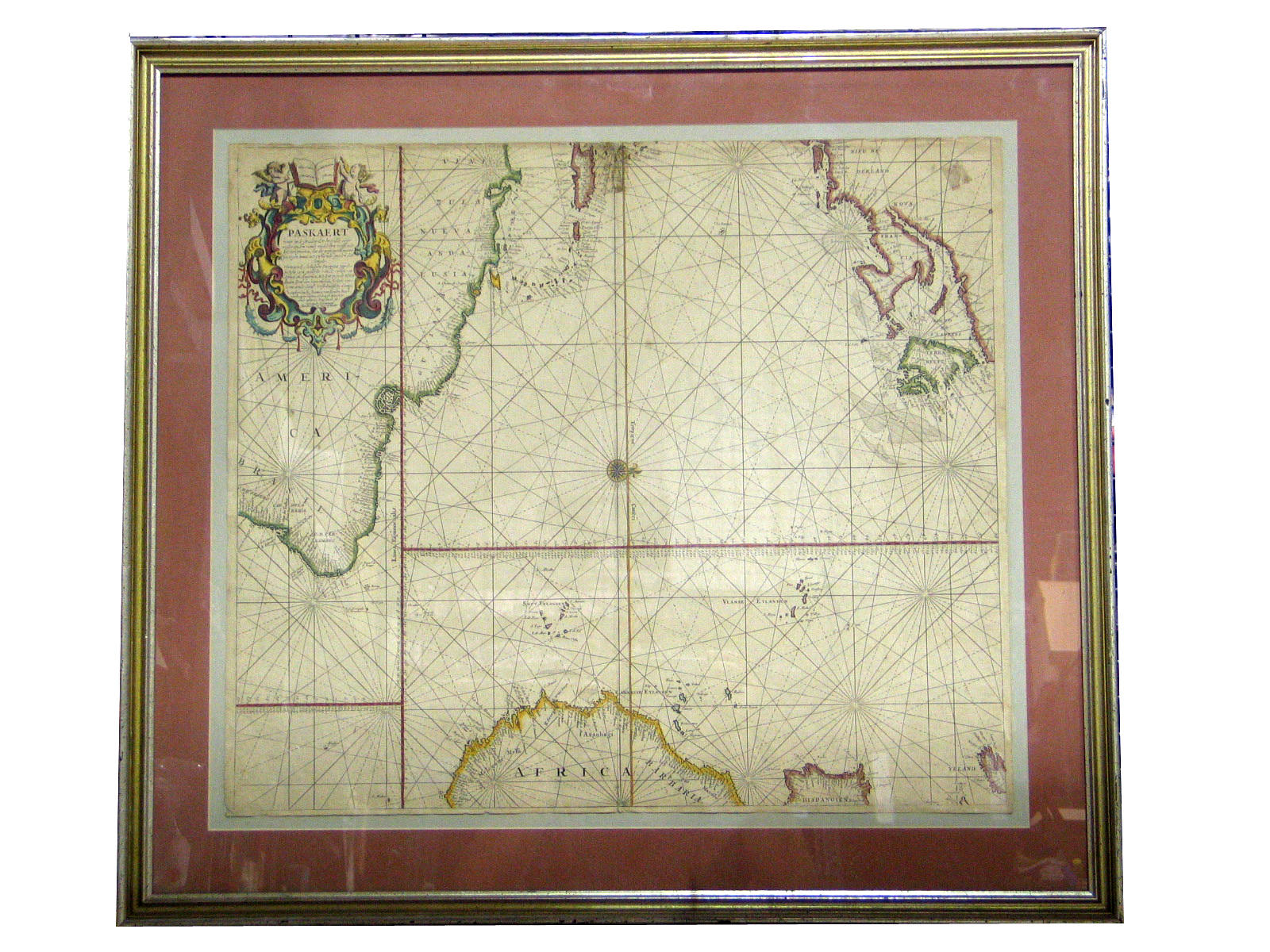
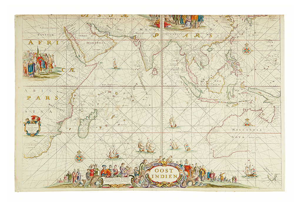
KEULEN, Johannes van (1654-1715). Wassende graade Kaart van alle bekende Zeekusten op den geheelen Aardbodem . [Amsterdam: 1682, but c. late 1690s]. Scarce world map on Mercator's projection, prepared by the mathematician Claesz J. Vooght for van Keulen in 1682. The present lot is in its second state with an additional privilege in the title cartouche. The map contains 'only a relatively small number of coastal place names and no interior features or localities at all' (Shirley); but with California shown insularly, a lack of north-western America, the unfinished arctic lands of Greenland and 'Nova Zembla,' as well as two Staten Islands, one being an incomplete New Zealand, and the other to the east of Siberia alongside a 'Compagies Land' (i.e. one of the Kuril Islands, derived from the erroneous cartography of Maerten Vries in 1643), the map does not lack for interest. Shirley World 512; Wagner 444. Engraved double-page world map, coloured by a contemporary hand , border and elements of cartouche heightened in gold, verso blank, elaborate cartouche in upper left-hand corner, two compass roses with associated rhumb lines, ships in southern ocean, California depicted as an island, 519 x 606mm (plate mark), 537 x 623mm (sheet).
KEULEN, Johannes van (1654-1715). Wassende graade Kaart van alle bekende Zeekusten op den geheelen Aardbodem . [Amsterdam: 1682, but c. late 1690s]. Scarce world map on Mercator's projection, prepared by the mathematician Claesz J. Vooght for van Keulen in 1682. The present lot is in its second state with an additional privilege in the title cartouche. The map contains 'only a relatively small number of coastal place names and no interior features or localities at all' (Shirley); but with California shown insularly, a lack of north-western America, the unfinished arctic lands of Greenland and 'Nova Zembla,' as well as two Staten Islands, one being an incomplete New Zealand, and the other to the east of Siberia alongside a 'Compagies Land' (i.e. one of the Kuril Islands, derived from the erroneous cartography of Maerten Vries in 1643), the map does not lack for interest. Shirley World 512; Wagner 444. Engraved double-page world map, coloured by a contemporary hand , border and elements of cartouche heightened in gold, verso blank, elaborate cartouche in upper left-hand corner, two compass roses with associated rhumb lines, ships in southern ocean, California depicted as an island, 519 x 606mm (plate mark), 537 x 623mm (sheet).

.jpg?w=400?width=1600&quality=70)


Try LotSearch and its premium features for 7 days - without any costs!
Be notified automatically about new items in upcoming auctions.
Create an alert