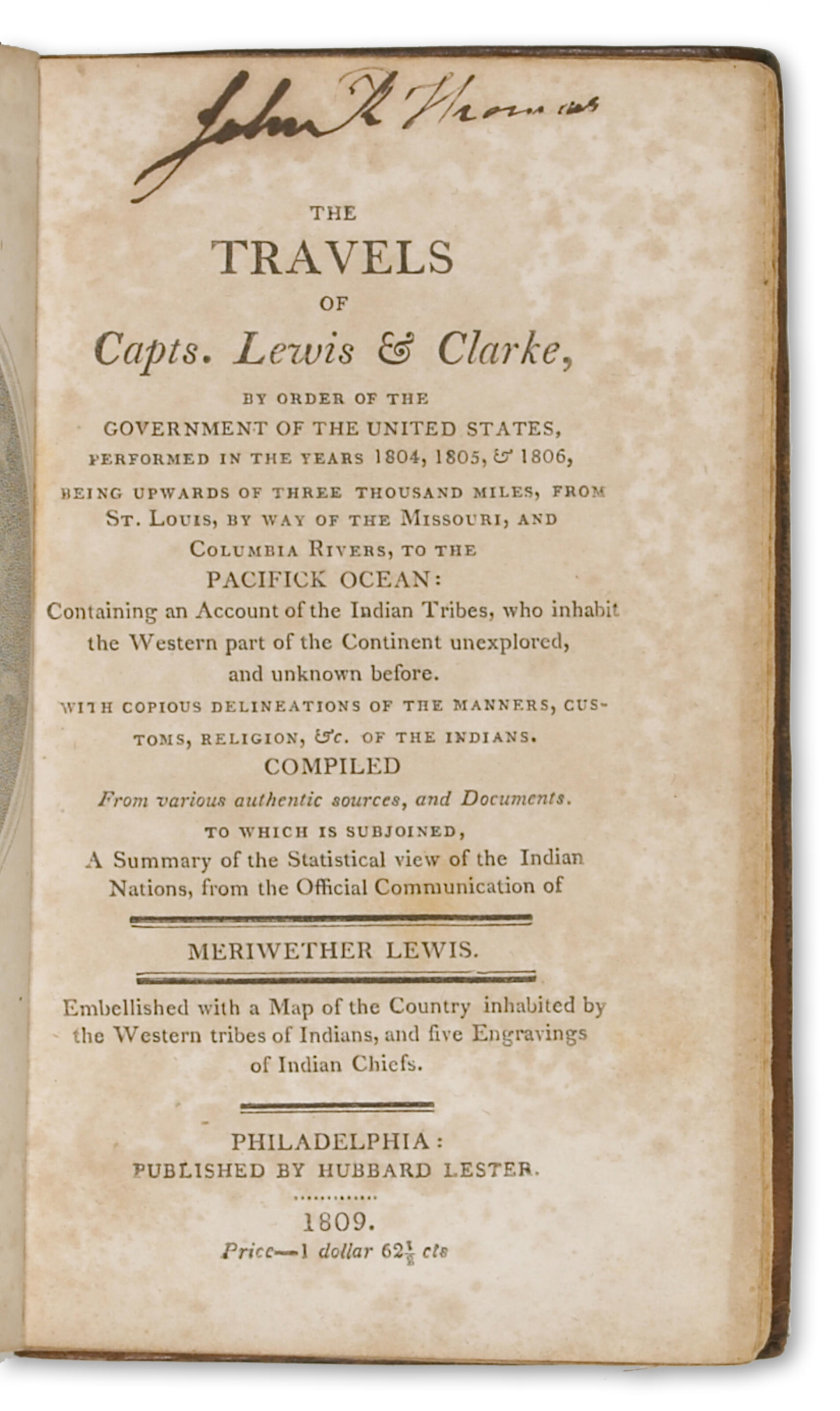
LEWIS, Meriwether (1774-1809) & William CLARK (1770-1838). History of the Expedition under the command of Captains Lewis and Clark, to the Sources of the Missouri, thence across the Rocky Mountains and Down the River Columbia to the Pacific Ocean. Performed During the Years 1804-5-6. By the Order of the Government of the United States. Prepared for the Press by Paul Allen Esquire. Philadelphia: J. Maxwell for Bradford and Inskeep and Abm. H. Inskeep, 1814. 2 volumes, 8 o (228 x 149 mm). Large folding engraved map by Samuel Harrison after Clark, 5 engraved maps and plans (folding map lightly foxed and with tear repaired on verso with minor loss along tear, plates foxed). (Some foxing and soiling throughout, some marginal worming in vol. I, filled on a few leaves, marginal tape repair on Ee2 in vol. II.) ORIGINAL PRINTED BOARDS, ENTIRELY UNCUT (rebacked, boards rubbed and soiled); morocco slipcase. FIRST EDITION IN THE ORIGINAL BOARDS of the "definitive account of the most important exploration of the North American continent" (Wagner-Camp-Becker), including a prefatory "Life of Captain Lewis" by President Jefferson. The expedition, commissioned by Jefferson and funded by Congress in early 1803 (it cost all of $2,500), was the first exploration officially sponsored by the Federal government. The acquisition of the Louisiana Territory, finalized in December of the same year, increased the importance and urgency of the expedition, which set out from St. Louis in May 1804 and covered 8000 miles in the next two and a half years, crossing the Rocky Mountains and reaching the mouth of the Columbia River before returning by the same route. Publication of Lewis's and Clark's account of the expedition was delayed by the appointments of both leaders to official positions in the new Louisiana Territory (Lewis was appointed territorial Governor and Clark Superintendent of Indian Affairs), then by Lewis's murder in 1809. This "most important of all overland narratives" (Grolier) was finally brought to press but a high proportion of the copies issued in this first printing, which is replete with errors, apparently lacked the folding map or were otherwise defective. Church 1309; Graff 2477; Grolier American 30; Howes L317; PMM 272; Sabin 40828; Streeter sale III:1777; Wagner-Camp 13.1. (2)
LEWIS, Meriwether (1774-1809) & William CLARK (1770-1838). History of the Expedition under the command of Captains Lewis and Clark, to the Sources of the Missouri, thence across the Rocky Mountains and Down the River Columbia to the Pacific Ocean. Performed During the Years 1804-5-6. By the Order of the Government of the United States. Prepared for the Press by Paul Allen Esquire. Philadelphia: J. Maxwell for Bradford and Inskeep and Abm. H. Inskeep, 1814. 2 volumes, 8 o (228 x 149 mm). Large folding engraved map by Samuel Harrison after Clark, 5 engraved maps and plans (folding map lightly foxed and with tear repaired on verso with minor loss along tear, plates foxed). (Some foxing and soiling throughout, some marginal worming in vol. I, filled on a few leaves, marginal tape repair on Ee2 in vol. II.) ORIGINAL PRINTED BOARDS, ENTIRELY UNCUT (rebacked, boards rubbed and soiled); morocco slipcase. FIRST EDITION IN THE ORIGINAL BOARDS of the "definitive account of the most important exploration of the North American continent" (Wagner-Camp-Becker), including a prefatory "Life of Captain Lewis" by President Jefferson. The expedition, commissioned by Jefferson and funded by Congress in early 1803 (it cost all of $2,500), was the first exploration officially sponsored by the Federal government. The acquisition of the Louisiana Territory, finalized in December of the same year, increased the importance and urgency of the expedition, which set out from St. Louis in May 1804 and covered 8000 miles in the next two and a half years, crossing the Rocky Mountains and reaching the mouth of the Columbia River before returning by the same route. Publication of Lewis's and Clark's account of the expedition was delayed by the appointments of both leaders to official positions in the new Louisiana Territory (Lewis was appointed territorial Governor and Clark Superintendent of Indian Affairs), then by Lewis's murder in 1809. This "most important of all overland narratives" (Grolier) was finally brought to press but a high proportion of the copies issued in this first printing, which is replete with errors, apparently lacked the folding map or were otherwise defective. Church 1309; Graff 2477; Grolier American 30; Howes L317; PMM 272; Sabin 40828; Streeter sale III:1777; Wagner-Camp 13.1. (2)


Try LotSearch and its premium features for 7 days - without any costs!
Be notified automatically about new items in upcoming auctions.
Create an alert