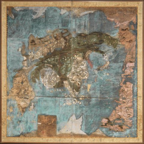
MAPS] Manuscript Map of the United States drawn by student Cornelia Richards, 1825 . Winchester (likely Virginia): 1825. Manuscript map on paper with hand-coloring in an early frame, the map titled The United States of America/By Cornelia Richards/Winchester February 1825. 17 x 22 inches (43.5 x 56 cm). The map laid to board likely at a very early date, some old stains, puncture in the Florida Panhandle, short closed tear at right in ocean area and an abraded area affects the left side border, toned, unexamined out of the frame. An interesting early manuscript map made by a female student likely in Winchester Virginia in 1825. The map shows the Arkansas Territory (after 1819), lead mines in the Northwest Territory, and locations of various Indian tribes such as the Chippewa, Chickasaw, and Cherokee. C
MAPS] Manuscript Map of the United States drawn by student Cornelia Richards, 1825 . Winchester (likely Virginia): 1825. Manuscript map on paper with hand-coloring in an early frame, the map titled The United States of America/By Cornelia Richards/Winchester February 1825. 17 x 22 inches (43.5 x 56 cm). The map laid to board likely at a very early date, some old stains, puncture in the Florida Panhandle, short closed tear at right in ocean area and an abraded area affects the left side border, toned, unexamined out of the frame. An interesting early manuscript map made by a female student likely in Winchester Virginia in 1825. The map shows the Arkansas Territory (after 1819), lead mines in the Northwest Territory, and locations of various Indian tribes such as the Chippewa, Chickasaw, and Cherokee. C

.jpg)

.jpg)
.jpg)
.jpg?w=400)


Try LotSearch and its premium features for 7 days - without any costs!
Be notified automatically about new items in upcoming auctions.
Create an alert