Tabulae Geographicae].
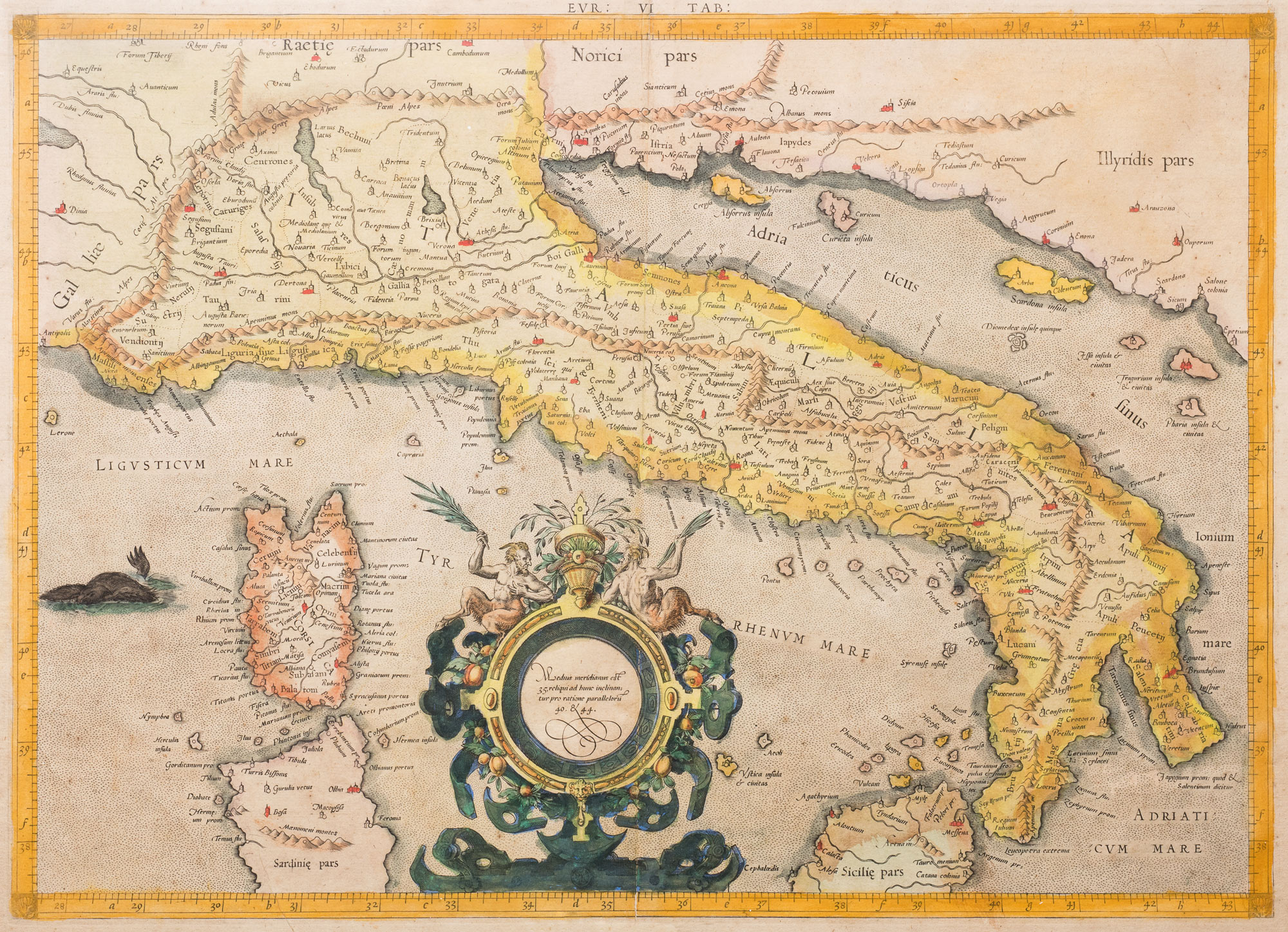
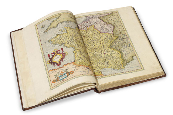
Duisburg: 1585-1589]. Four parts bound in one volume. Folio (16 1/2 x 11 in). Four works in one volume, 4 titles, 73 engraved maps, the majority double-page. Contemporary vellum, the covers with central knotwork cartouche surrounded by a fillet and foliate border with fleuron cornerpieces, yapp fore edges, restored, gilt. Condition: some minor soiling to map of Serbia with rust spot with hole at centre, repaired, map of Westphalia with rust hole repaired with loss. Provenance: 'Bardi: Ex Biblioteca Prin. D. Frederici 1620' inscription on title-page; Andrea Doria Landi Pamphili, erased stamp on title-page and last page; Antiquariaat Meijer Elte, The Hague, 19 July 1980, Lord Wardington. a fine example of Mercator's early work in the four original parts prepared in anticipation of the first 'atlas' to be so called - the only parts published in mercator's lifetime . Contents 1) Galliae tabulae geographicae . Duisburg [1585]. Engraved title, dedication leaf to Wilhelm and Johann Wilhelm, Dukes of Jülich, Kleve and Berg, dated August 1585, 16 engraved maps, all but one double-page. 2) Germaniae tabulae geographicae . Duisberg [1585]. Engraved title, 26 engraved maps. 3) Belgii inferioris tabulae geographicae . Duisberg [1585]. Engraved title, 9 double-page engraved maps. 4) Italiae, Sclavoniae et Graeciae tabulae geographicae . Duisberg [1589], engraved architectural title, dedication leaf to Ferdinand de Medici with 'Candido lectori' on verso, engraved portrait of Mercator by Frans Hogenberg (without printed verse), 22 double-page engraved maps. Gerard Mercator (1512-1594) was, arguably, the most important cartographer and cosmographer after Ptolemy, and certainly the greatest of the sixteenth century. Convinced of the importance of exact sciences, he undertook courses in mathematics at Leuven under the guidance of Gamma Frisius. He was recognized as an expert in the construction of mathematical instruments, as a land-surveyor and, after 1537, as a cartographer. He also qualified himself as a copper-engraver. His most famous contribution to cartography is a technique of rendering the globe on a flat surface, still known as 'Mercator's projection', that was first used for a 1569 world map The present volume contains the first four parts of Mercator's atlas. The first three parts were published simultaneously and are usually found together. It is less common to find the fourth part on Italy included. In this example, this is bound first; presumably to reflect the interests of the purchaser. Mercator's atlas was published after his death in 1595 by his son Rumold Mercator. The plates were, subsequently, sold to Jodocus Hondius who produced a new version of the atlas, with his own additional maps, in 1606. This is generally known as the Mercator-Hondius atlas, as are the various editions in different languages that followed. .Koeman II, Me 9, Me 11: Shirley, British Library T.MER-2a and 2b; Van der Krogt 1:001 and 1:002B.

.jpg)


Try LotSearch and its premium features for 7 days - without any costs!
Be notified automatically about new items in upcoming auctions.
Create an alert