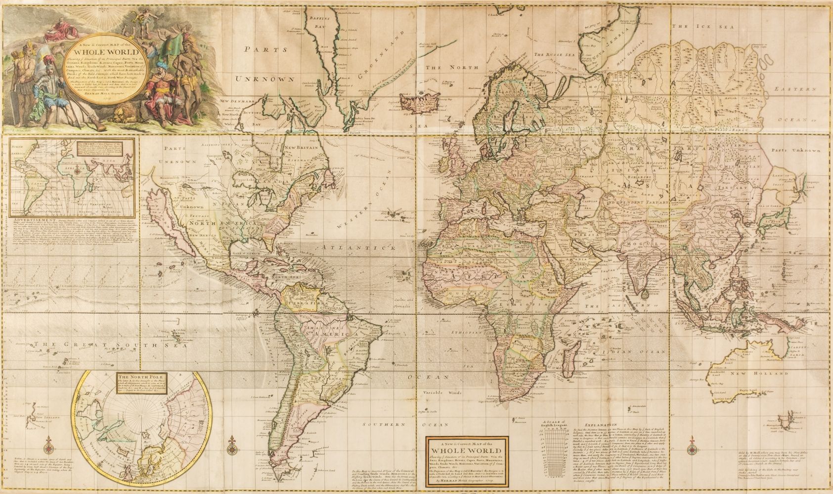
MOLL, Herman (1654-1732). A New Map of the North Parts of America claimed by France under ye Names of Louisiana, Mississipi, Canada and New France with ye Adjoining Territories of England and Spain... . [London]: Sold by H. Moll... in the Strand... sold by Tho: Bowles... in St. Paul's Church Yard. John King .. in ye Poultry... and John Bowles at the Black Horse Cornhill, 1720.
MOLL, Herman (1654-1732). A New Map of the North Parts of America claimed by France under ye Names of Louisiana, Mississipi, Canada and New France with ye Adjoining Territories of England and Spain... . [London]: Sold by H. Moll... in the Strand... sold by Tho: Bowles... in St. Paul's Church Yard. John King .. in ye Poultry... and John Bowles at the Black Horse Cornhill, 1720. Engraved map, on two joined sheets, 615 x 1017 mm, hand colored in outline, vignette of "The Indian Fort Sasquesahanok" upper left, and vignettes of "The Harbour of Annapolis Royal," and "A Map of ye Mouth of Mississipi and Mobile Rivers &c" along the right-hand edge. (Vertical folds discreetly repaired at foot.) Matted. Provenance : Contemporary annotation on verso. From The World Described... [1709-1720]. Phillips Atlases 554 9.

.jpg)


Try LotSearch and its premium features for 7 days - without any costs!
Be notified automatically about new items in upcoming auctions.
Create an alert