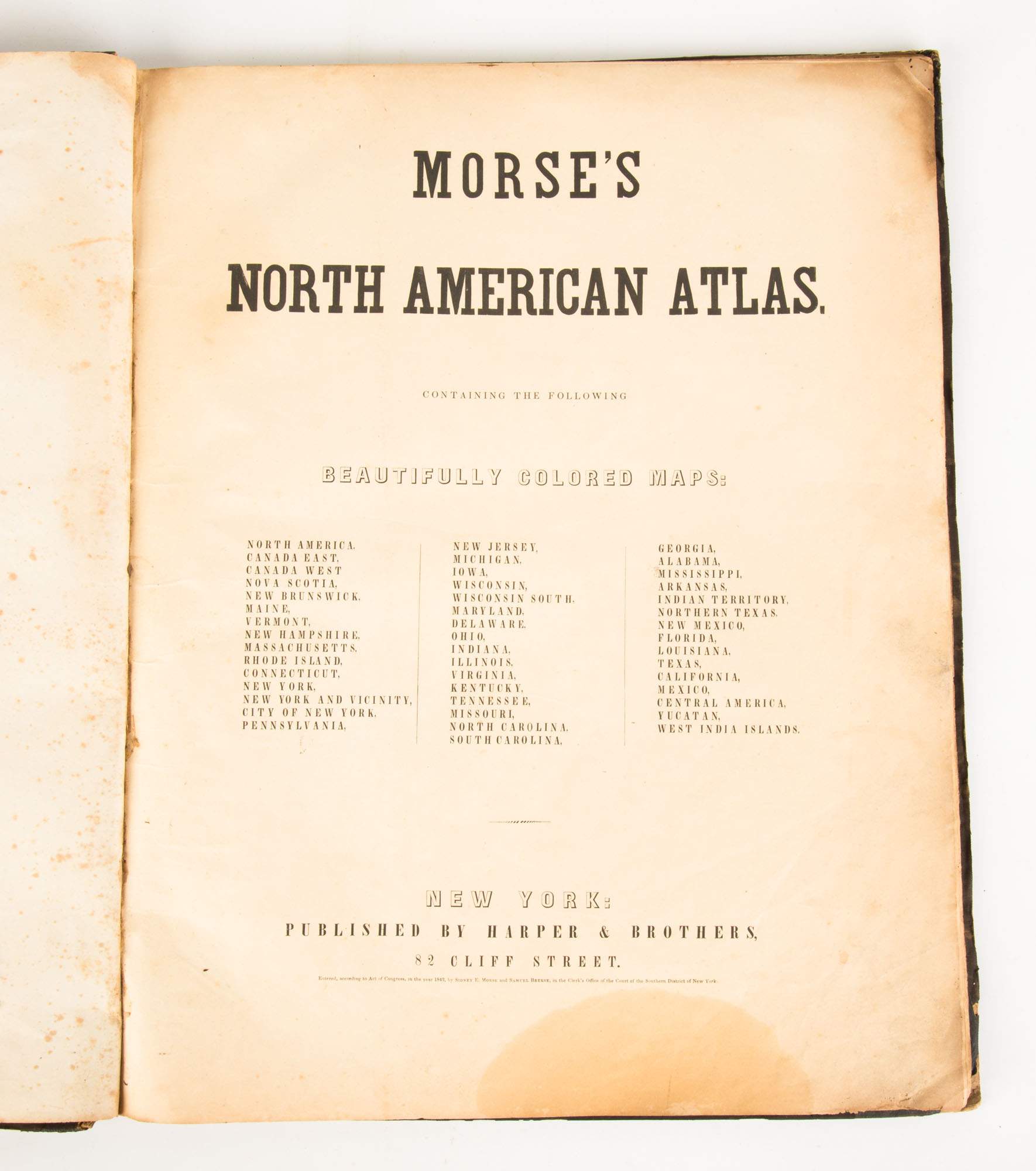
Title: Morse's North American Atlas. Containing the following beautifully colored maps... Author: Morse, Sidney E. and Samuel Breese Place: New York Publisher: Published by Harper & Brothers Date: [1845] Description: With 36 cerographic [i.e. wax engraved] color maps. 45.5x36.3 cm (18x14¼"), original half morocco & cloth, front cover lettered in gilt. Morse's rare and sought-after North American atlas. Among the significant maps are "Map of the Californias by T.J. Farnham," a pre-gold rush map of California and the southwest from the Rio Grande to the Pacific, and the tip of Baja to the Oregon border; Texas during its period as an independent republic; Josiah Gregg's "A Map of the Indian Territory, Northern Texas and New Mexico showing the Great Western Prairies"; and Mexico, which includes New California, New Mexico, and the southwest, with Texas shown but not as part of Mexico. About the cerographic process, Warren Heckrotte notes: "Woodward describes the development of wax engraving of which this atlas was one of first done by this process and most notable." Provenance: Reese, 7/88 References: P-LG 1228. Woodward, The All-American Map. Lot Amendments Condition: Covers with wear and fading, spine ends chipped; some very light, mostly marginal foxing within; very good. Item number: 271783
Title: Morse's North American Atlas. Containing the following beautifully colored maps... Author: Morse, Sidney E. and Samuel Breese Place: New York Publisher: Published by Harper & Brothers Date: [1845] Description: With 36 cerographic [i.e. wax engraved] color maps. 45.5x36.3 cm (18x14¼"), original half morocco & cloth, front cover lettered in gilt. Morse's rare and sought-after North American atlas. Among the significant maps are "Map of the Californias by T.J. Farnham," a pre-gold rush map of California and the southwest from the Rio Grande to the Pacific, and the tip of Baja to the Oregon border; Texas during its period as an independent republic; Josiah Gregg's "A Map of the Indian Territory, Northern Texas and New Mexico showing the Great Western Prairies"; and Mexico, which includes New California, New Mexico, and the southwest, with Texas shown but not as part of Mexico. About the cerographic process, Warren Heckrotte notes: "Woodward describes the development of wax engraving of which this atlas was one of first done by this process and most notable." Provenance: Reese, 7/88 References: P-LG 1228. Woodward, The All-American Map. Lot Amendments Condition: Covers with wear and fading, spine ends chipped; some very light, mostly marginal foxing within; very good. Item number: 271783


Try LotSearch and its premium features for 7 days - without any costs!
Be notified automatically about new items in upcoming auctions.
Create an alert