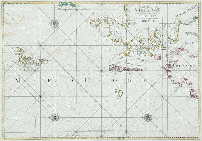
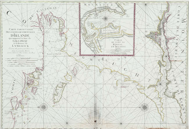
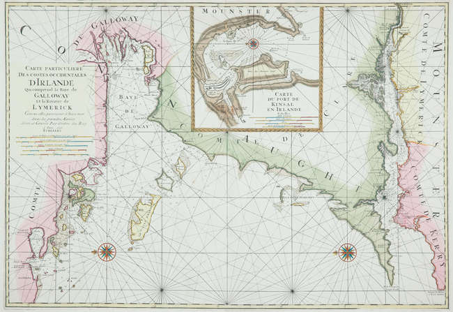
MORTIER, Pieter (1661-1711) – Les Costes de France et d’Espagne sur l'ocean et sur la mer M é diterran é e. Amsterdam: Pieter Mortier, [1700?]. A rare sea atlas complete in itself, but also forming parts 13-14 of Mortier’s Les Forces de l’Europe, Asie, Afrique et Amerique, ou Description des principales villes avec leurs fortifications (Amsterdam, 1702; see lot 80). This work in its first incarnation was published in Paris by S. Cramoisy in 1634, under the title Cartes g énérales et particulières de toutes les côtes de France , with charts after Christophe Tassin. After the expiration of the ten year royal privilege, Tassin sold the plates to Nicolas Berey and Antoine de Fer. A first edition under Nicolas de Fer’s editorship, with many modifications to the plates, appeared in Paris in 1690, and re-edited again in 1695. Mortier proceeded to engrave exact copies of de Fer's plates, and published his piracy sometime around 1700. The 20 coastal charts in volume I of this piracy conform with those in the 1695 edition. However, those in volume II differ and Spain has a stronger representation (Spain is omitted from Fer’s original title). There are inconsistencies in the reported number of plates. WorldCat calls for 38 lettered plates and 2 not lettered, as found in our copy, and agreeing with Van der Krogt. Some copies include two wind charts rather than one as here. Pastoureau Fer VIII C (calling for 20 charts – vol. I only?); Palau 87687; Phillips, Atlases 2781a; Shirley BL M.FER-1d (31 charts); Van der Krogt IV-1, 482:2. 2 volumes in one, oblong quarto (310 x 406mm). Titles to both vols in red and black, hand-coloured engraved frontispiece of ships in harbour, folding ‘Boussole des vents’ (cleanly torn along fold), ‘Carte Générale’ and 38 engraved charts lettered A-MM with two bis, all coloured by a contemporary hand (titles and plates mounted on modern guards, chart of Catalonia slightly affected by damp and with small hole in Minorca, final chart of Provence creased and with repaired tear touching on plate, other small repairs, some light marginal soiling). Contemporary mottled calf, ornate gilt spine (rebacked, new endpapers). Provenance: F. Mikoszewski 1800 (stamp at bottom margin of final chart).
MORTIER, Pieter (1661-1711) – Les Costes de France et d’Espagne sur l'ocean et sur la mer M é diterran é e. Amsterdam: Pieter Mortier, [1700?]. A rare sea atlas complete in itself, but also forming parts 13-14 of Mortier’s Les Forces de l’Europe, Asie, Afrique et Amerique, ou Description des principales villes avec leurs fortifications (Amsterdam, 1702; see lot 80). This work in its first incarnation was published in Paris by S. Cramoisy in 1634, under the title Cartes g énérales et particulières de toutes les côtes de France , with charts after Christophe Tassin. After the expiration of the ten year royal privilege, Tassin sold the plates to Nicolas Berey and Antoine de Fer. A first edition under Nicolas de Fer’s editorship, with many modifications to the plates, appeared in Paris in 1690, and re-edited again in 1695. Mortier proceeded to engrave exact copies of de Fer's plates, and published his piracy sometime around 1700. The 20 coastal charts in volume I of this piracy conform with those in the 1695 edition. However, those in volume II differ and Spain has a stronger representation (Spain is omitted from Fer’s original title). There are inconsistencies in the reported number of plates. WorldCat calls for 38 lettered plates and 2 not lettered, as found in our copy, and agreeing with Van der Krogt. Some copies include two wind charts rather than one as here. Pastoureau Fer VIII C (calling for 20 charts – vol. I only?); Palau 87687; Phillips, Atlases 2781a; Shirley BL M.FER-1d (31 charts); Van der Krogt IV-1, 482:2. 2 volumes in one, oblong quarto (310 x 406mm). Titles to both vols in red and black, hand-coloured engraved frontispiece of ships in harbour, folding ‘Boussole des vents’ (cleanly torn along fold), ‘Carte Générale’ and 38 engraved charts lettered A-MM with two bis, all coloured by a contemporary hand (titles and plates mounted on modern guards, chart of Catalonia slightly affected by damp and with small hole in Minorca, final chart of Provence creased and with repaired tear touching on plate, other small repairs, some light marginal soiling). Contemporary mottled calf, ornate gilt spine (rebacked, new endpapers). Provenance: F. Mikoszewski 1800 (stamp at bottom margin of final chart).
.jpg)

.jpg)


.jpg)


Try LotSearch and its premium features for 7 days - without any costs!
Be notified automatically about new items in upcoming auctions.
Create an alert