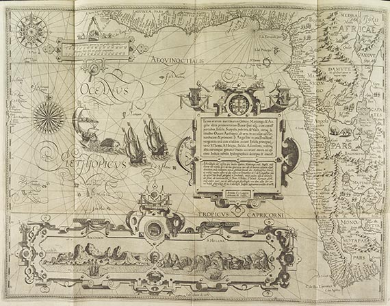
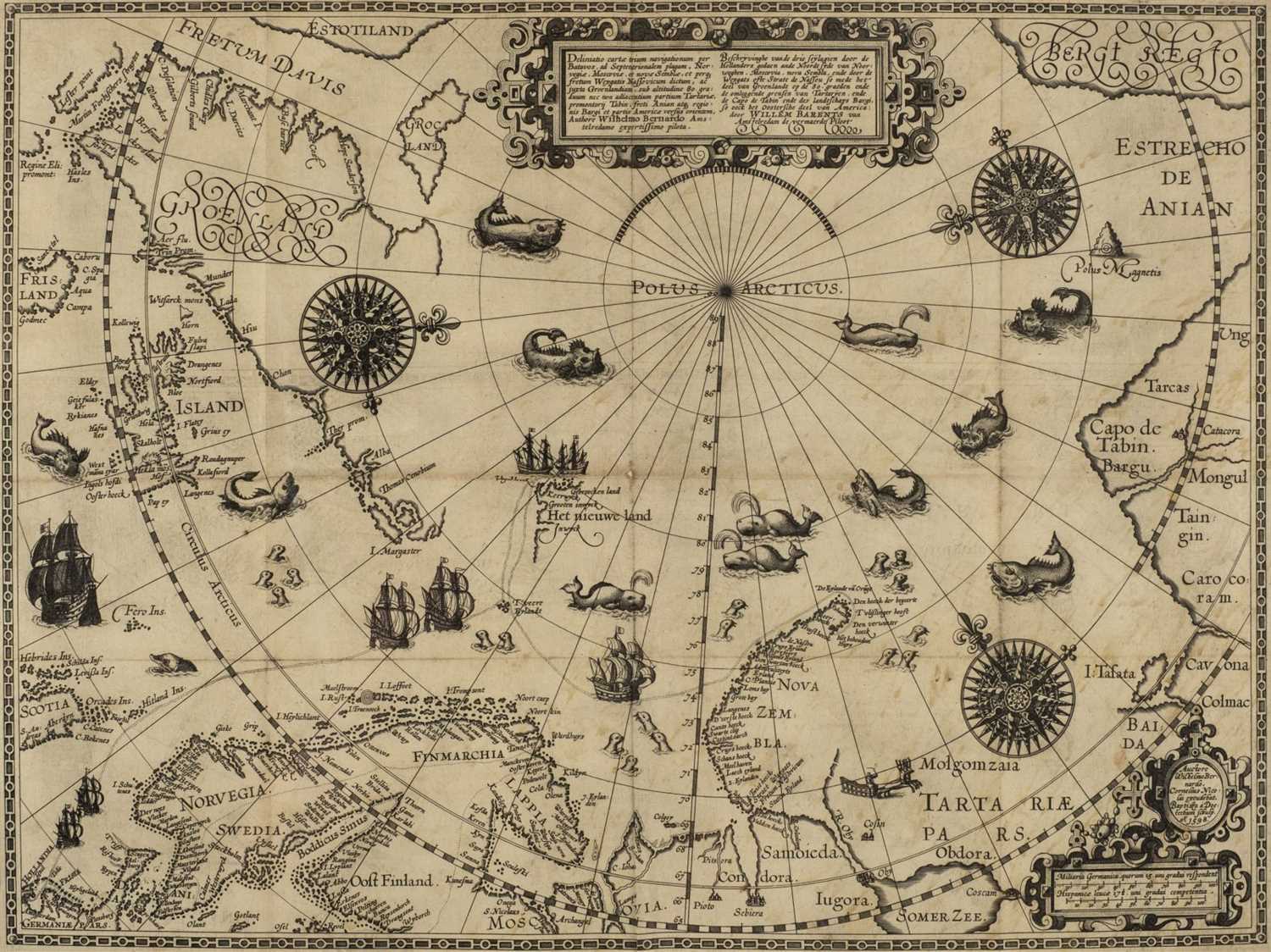
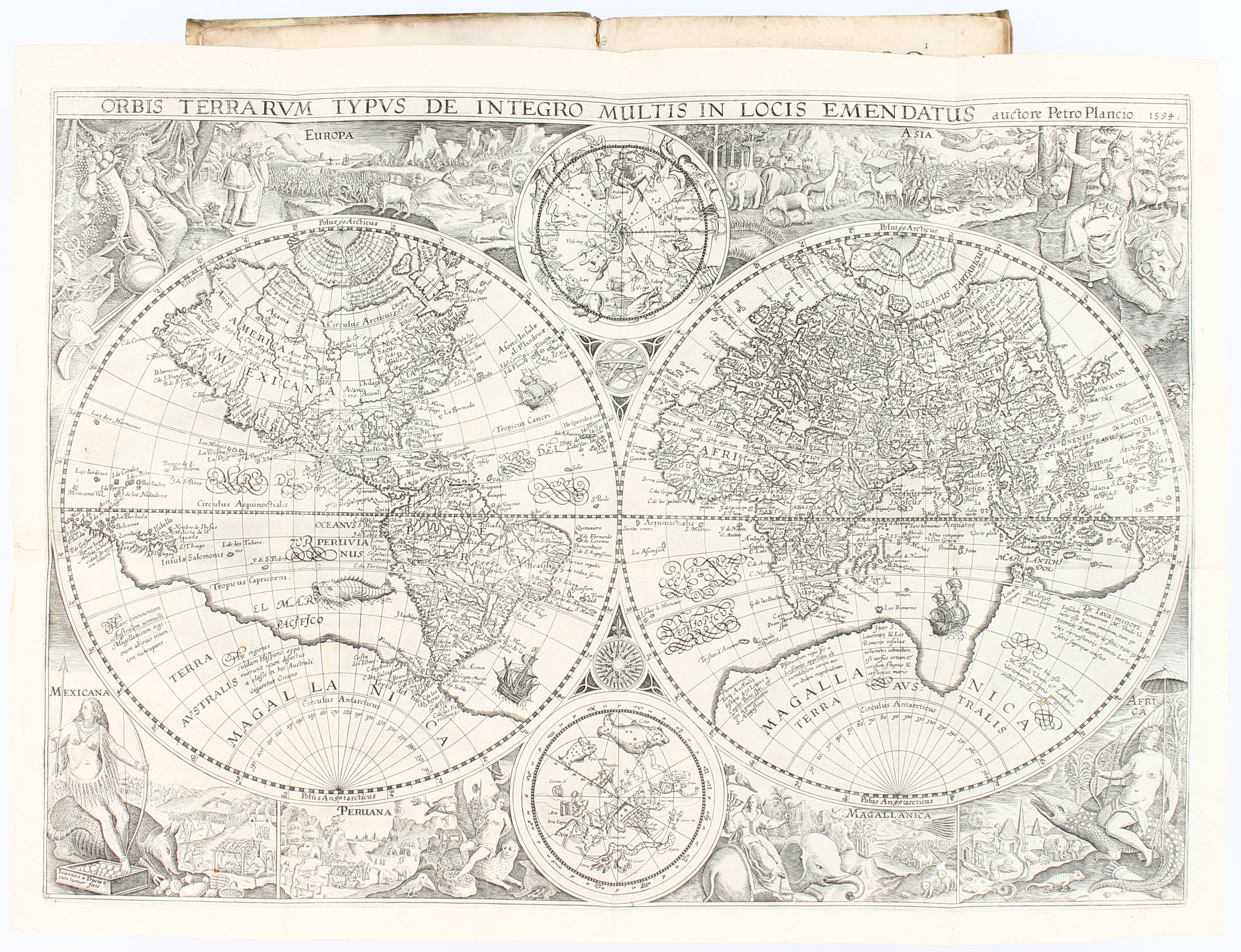
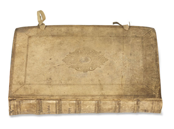
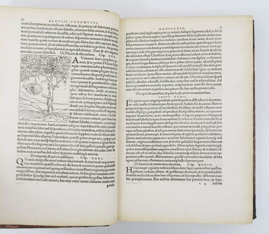
Navigatio ac itinerarium Jan Huygen van Linschoten 1599 LINSCHOTEN, Jan Huygen van (1563-1611). Navigatio ac itinerarium. The Hague: Albertus Henricus, 1599. First Latin edition, and the first to include Barentsz' map of his voyage and the regions adjacent to the North Pole. Linschoten, a Dutchman born in Delft, was in Goa between 1583 and 1589, and with Willem Barentsz on his second voyage to the Kara Sea in 1594-1595. These experiences were recorded in the present work, which was first published in Dutch (see previous lot), and contains the most comprehensive account of the East and West Indies available at the end of the sixteenth century. In this 1599 edition, Jan van Doetecum the younger's engraving of Petrus Plancius's 1594 map (Shirley World 187) has been replaced with Arnold and Hendrik Florentsz van Langren's version published by Jan Baptist Vrients (Shirley World 192). This double-hemisphere map is notable for several reasons. As Shirley notes, "there are differences affecting the northern seas, and the pictorial scenes forming the outer border have been regrouped with even greater stylistic effect." It is also the second-known map to depict Korea as a peninsula. As well as including important travel accounts taken from contemporary Portuguese, Dutch, and Spanish sources, it is the first work to include precise sailing instructions for the Indies, and also includes an account of America as well as secrets about Portuguese sea routes to the east and about how their territories were governed; it was also of special value for its description of spice trees and spice growing areas. Very rare: we have only been able to trace 5 copies selling at auction over the past 40 years, two of which have been incomplete (ABPC/RBH). Adams L-735 (one incomplete copy in Cambridge); Sabin 41366; New Hollstein Van Doetecum IV, 927-984. Two parts in one, folio (310 x 200mm). Title to each part with engraved vignette, full-page engraved illustration of dedicatee's arms, engraved portrait of the author with four small inset maps at corners, 7 folding engraved maps, 36 double-page or folding plates (small repairs to blank outer edge of title, a few short tears at folds of folding plates; some maps washed and with expert repairs). Modern blindstamped vellum to style with leather ties.
Navigatio ac itinerarium Jan Huygen van Linschoten 1599 LINSCHOTEN, Jan Huygen van (1563-1611). Navigatio ac itinerarium. The Hague: Albertus Henricus, 1599. First Latin edition, and the first to include Barentsz' map of his voyage and the regions adjacent to the North Pole. Linschoten, a Dutchman born in Delft, was in Goa between 1583 and 1589, and with Willem Barentsz on his second voyage to the Kara Sea in 1594-1595. These experiences were recorded in the present work, which was first published in Dutch (see previous lot), and contains the most comprehensive account of the East and West Indies available at the end of the sixteenth century. In this 1599 edition, Jan van Doetecum the younger's engraving of Petrus Plancius's 1594 map (Shirley World 187) has been replaced with Arnold and Hendrik Florentsz van Langren's version published by Jan Baptist Vrients (Shirley World 192). This double-hemisphere map is notable for several reasons. As Shirley notes, "there are differences affecting the northern seas, and the pictorial scenes forming the outer border have been regrouped with even greater stylistic effect." It is also the second-known map to depict Korea as a peninsula. As well as including important travel accounts taken from contemporary Portuguese, Dutch, and Spanish sources, it is the first work to include precise sailing instructions for the Indies, and also includes an account of America as well as secrets about Portuguese sea routes to the east and about how their territories were governed; it was also of special value for its description of spice trees and spice growing areas. Very rare: we have only been able to trace 5 copies selling at auction over the past 40 years, two of which have been incomplete (ABPC/RBH). Adams L-735 (one incomplete copy in Cambridge); Sabin 41366; New Hollstein Van Doetecum IV, 927-984. Two parts in one, folio (310 x 200mm). Title to each part with engraved vignette, full-page engraved illustration of dedicatee's arms, engraved portrait of the author with four small inset maps at corners, 7 folding engraved maps, 36 double-page or folding plates (small repairs to blank outer edge of title, a few short tears at folds of folding plates; some maps washed and with expert repairs). Modern blindstamped vellum to style with leather ties.

.jpg)


.jpg?w=400)

Try LotSearch and its premium features for 7 days - without any costs!
Be notified automatically about new items in upcoming auctions.
Create an alert