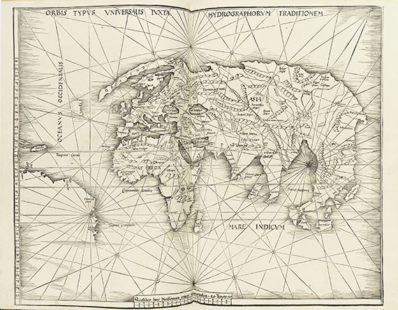
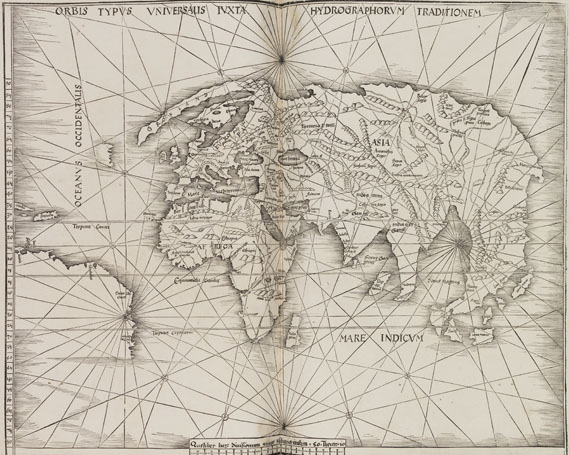
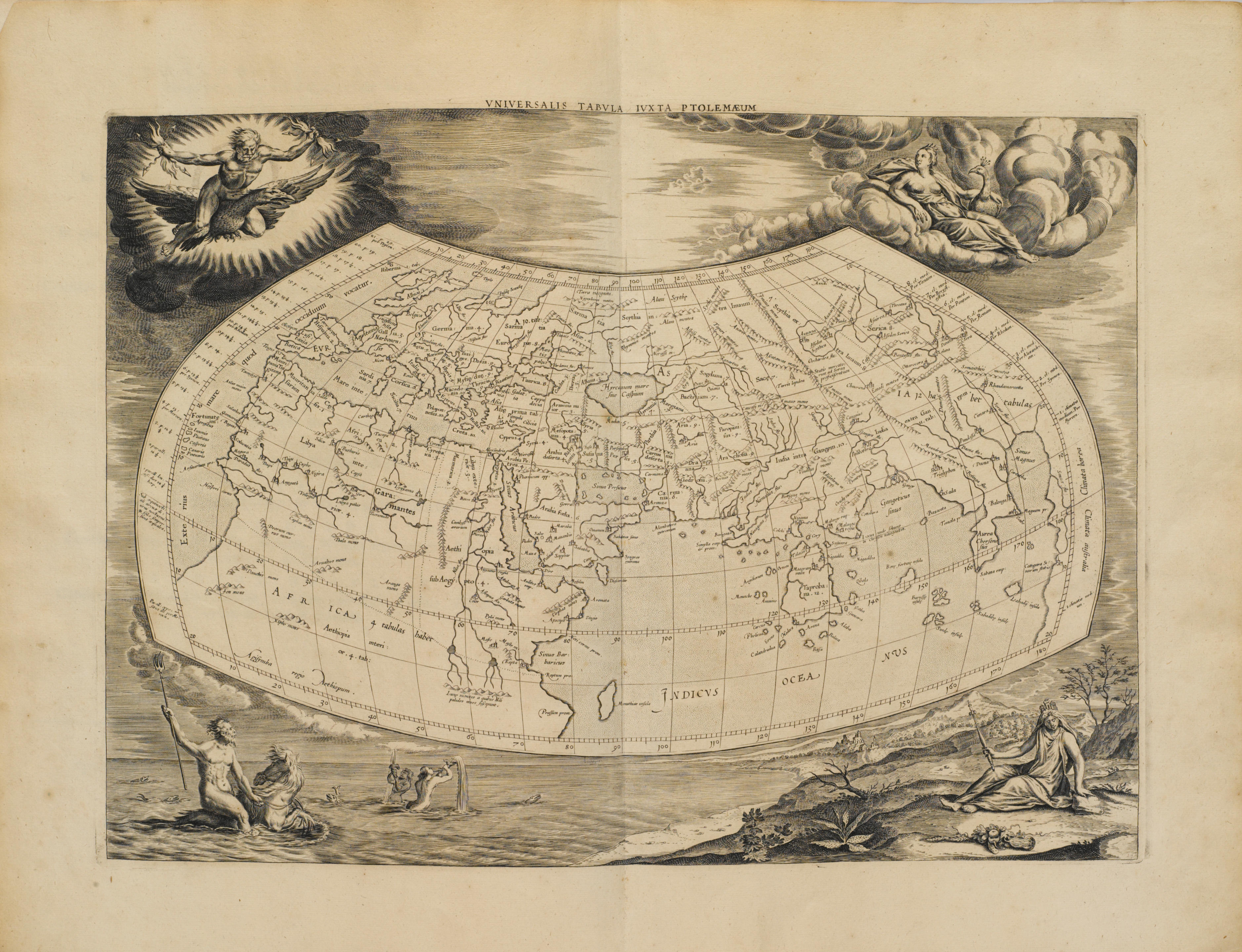
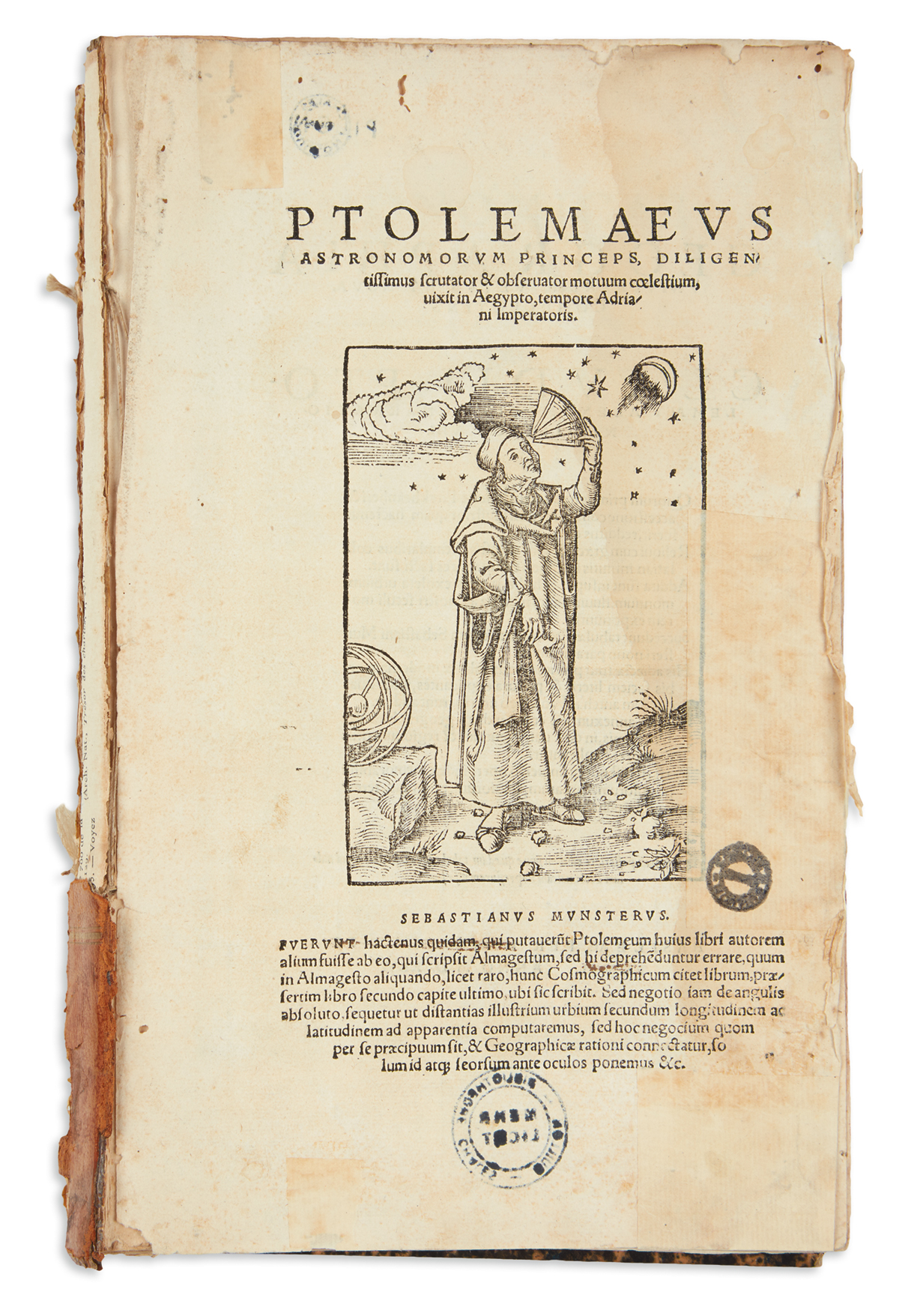
PTOLEMAEUS, Claudius. Geographia universalis, vetus et nova complectens... Succedunt tabulae Ptolemaicae, opera Sebastiani Munsteri novo paratae modo . Edited by Sebastian Münster (1489-1552). Basel: Heinrich Petri, 1540.
PTOLEMAEUS, Claudius. Geographia universalis, vetus et nova complectens... Succedunt tabulae Ptolemaicae, opera Sebastiani Munsteri novo paratae modo . Edited by Sebastian Münster (1489-1552). Basel: Heinrich Petri, 1540. 2° (313 x 207 mm). Roman type, double column, index bound after first gathering. 27 maps of the ancient world and 21 of the modern world: together 48 double-page woodcut maps, text on verso within woodcut borders (some of the borders attributed to being after Hans Holbein two signed with Adam Petri's monogram), 7 woodcut text diagrams, printer's woodcut device on verso of final leaf, woodcut initials (some minor worming at beginning and end touching text and 8 maps, some light browning, light marginal staining). Contemporary blind-stamped half-calf and wooden boards, two brass clasps (some minor repairs to spine ends and joints, straps of clasps with leather renewed). Provenance : early marginalia. FIRST LATIN EDITION OF MÜNSTER'S PTOLEMY, a revision of Willibald Pirckheimer's translation for which Münster redesigned the maps and added an appendix. Three maps relate to the Americas, the world map, the map of Schonlandia (Scandinavia), showing the "Terra nova sive de Bacalhos" in the upper left, and the "Novae Insulae XVII Nova Tabula", the earliest known map to show the Americas as a separate continent; on the recto is an account of Columbus's discoveries. This is in Münster's first state of the World map which marks and names the Northwest passage, also naming the northern part of North America, "Terra nova seve de Bacalhos," a reference to the Grand Banks cod fisheries. It appeared only between 1540 and 1550. For this edition, Münster revised the text and added twenty-one new maps, among which, for the first time, were separate maps of the known continents. Though it is not known who did the woodcutting for the maps themselves, the decorative borders on the versos of the maps have been attributed to Hans Holbein Adams P-2224; Alden & Landis 540/22; Burden 12 (first state); Burmeister 155; JCB (3) I:127; Nordenskiold 2:210; Phillips Atlases 365; Sabin 66484; Shirley, British Library T.PTOL-8a; Shirley 77.


.jpg?w=400)


Try LotSearch and its premium features for 7 days - without any costs!
Be notified automatically about new items in upcoming auctions.
Create an alert