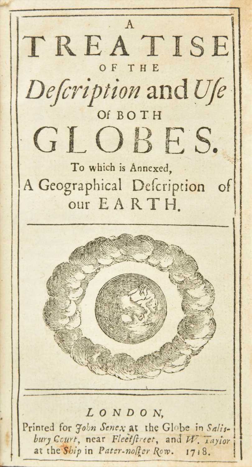
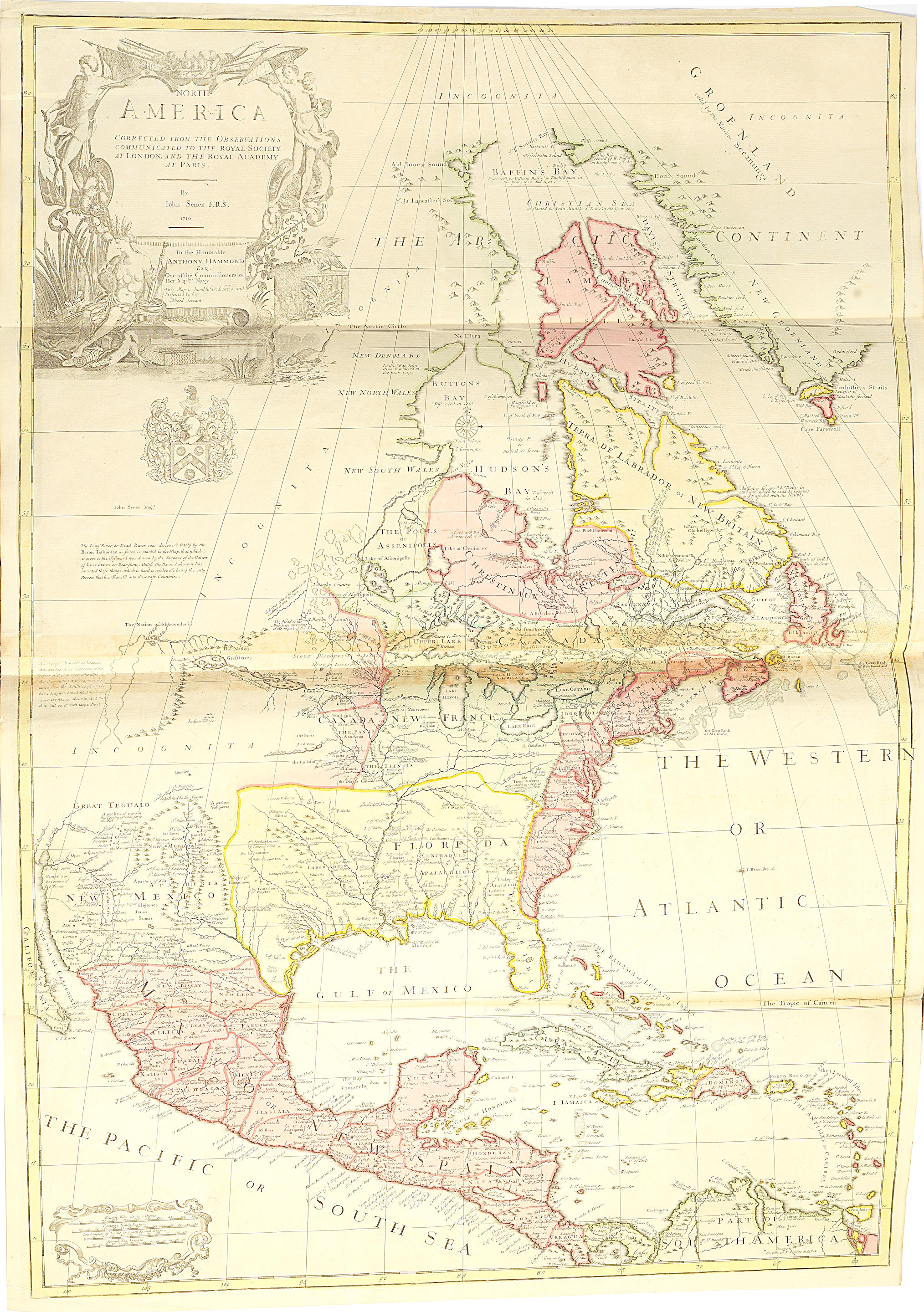
SENEX, John (d. 1740). A New General Atlas, Containing a Geographical and Historical Account of All the Empires, Kingdoms and other Dominions of the World. London: Daniel Browne, Thomas Taylor et al, 1721.
SENEX, John (d. 1740). A New General Atlas, Containing a Geographical and Historical Account of All the Empires, Kingdoms and other Dominions of the World. London: Daniel Browne, Thomas Taylor et al, 1721. 2 o (528 x 337 mm). Title printed in red and black. 34 engraved double-page maps all with contemporary hand-coloring in outline except the three city maps, 13-pages engraved coats of arms of subscribers (a few short tears and chips, some occasional light browning or spotting). (Some minor marginal worming at beginning affecting 4 maps, world map inverted, some very minor mostly marginal staining.) 19th-century brown morocco, spine in six compartments, gilt lettered in second (upper portion of joints splitting, one corner with light wear). Provenance : Sir John Bridgeman Baronet (1667-1747) Earl of Bradford (presentation inscription from Thomas Morrell ("Bolton Sept, 18, 1722, To Sr John Bridgeman Barronet this book is humbly presented by his most obliged and obedient servt. Thomas Morrell"); Earls of Bradford, Weston Park Library (bookplate). FIRST EDITION. "Chiefly interesting for the copiousness of its information concerning America, which is illustrated by seven immense maps" (Sabin). Along with the map of Louisiana and the Mississippi River dedicated to William Law it includes "A New Map of Virginia Mary-land and the Improved Parts of Penn-sylvania & New Jersey," the 1721 revised state of Christopher Browne's map, an important delineation of the Chesapeake Bay region, derived mainly from the earlier surveys of Augustine Herrman (1673). This is also one of the earliest maps to adopt a North-South orientation on the page. The boundary for Delaware (then part of Pennsylvania) is shown, favoring the claims of Lord Baltimore, rather than the Cape Henelopen boundary, which was finally ratified by the British Courts when the dispute was settled in the 1730s and finally mapped by Mason & Dixon several decades later. New Jersey is divided into East and West Jersey. Phillips Atlases 563; Sabin 79124.

.jpg)


Try LotSearch and its premium features for 7 days - without any costs!
Be notified automatically about new items in upcoming auctions.
Create an alert