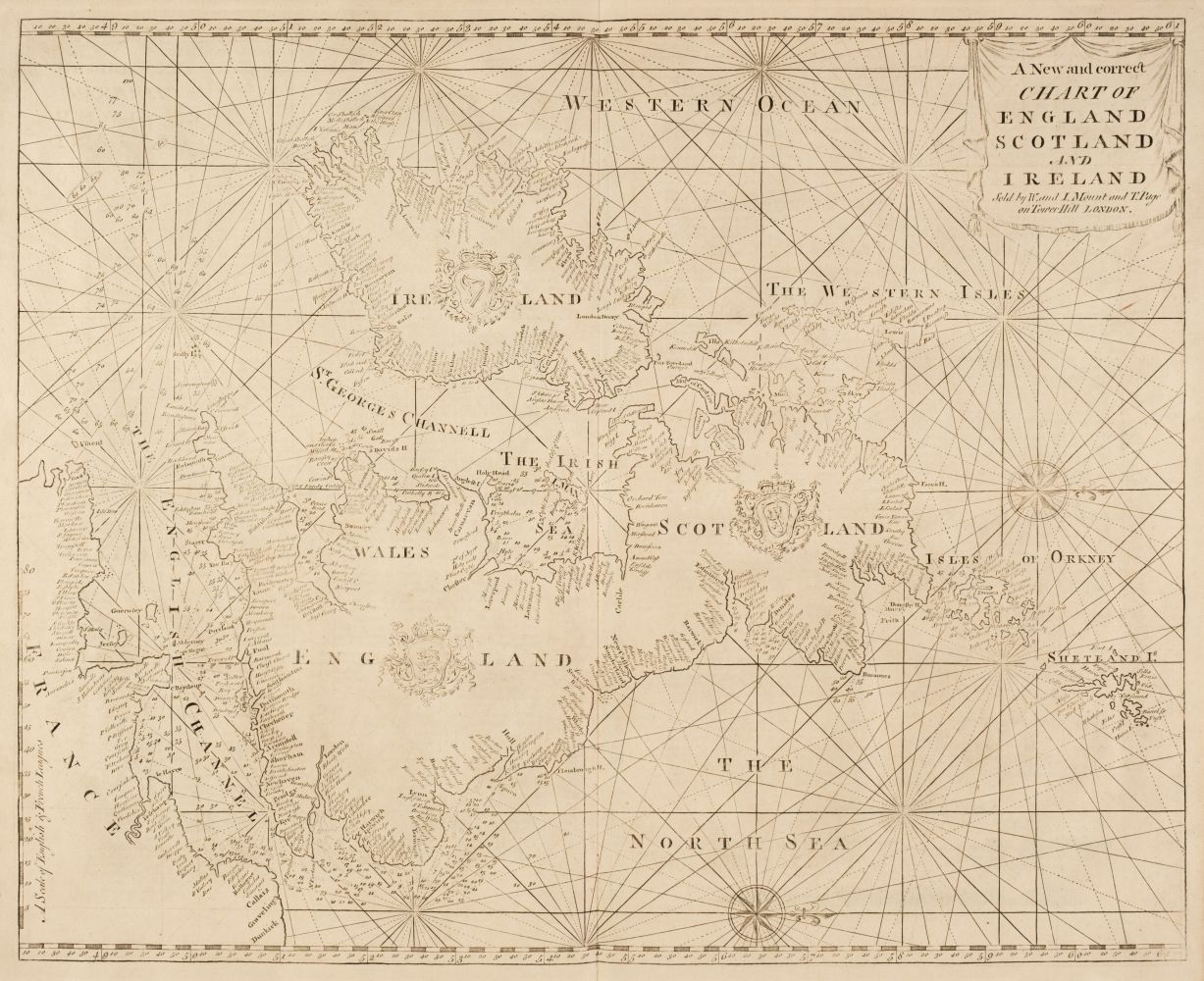
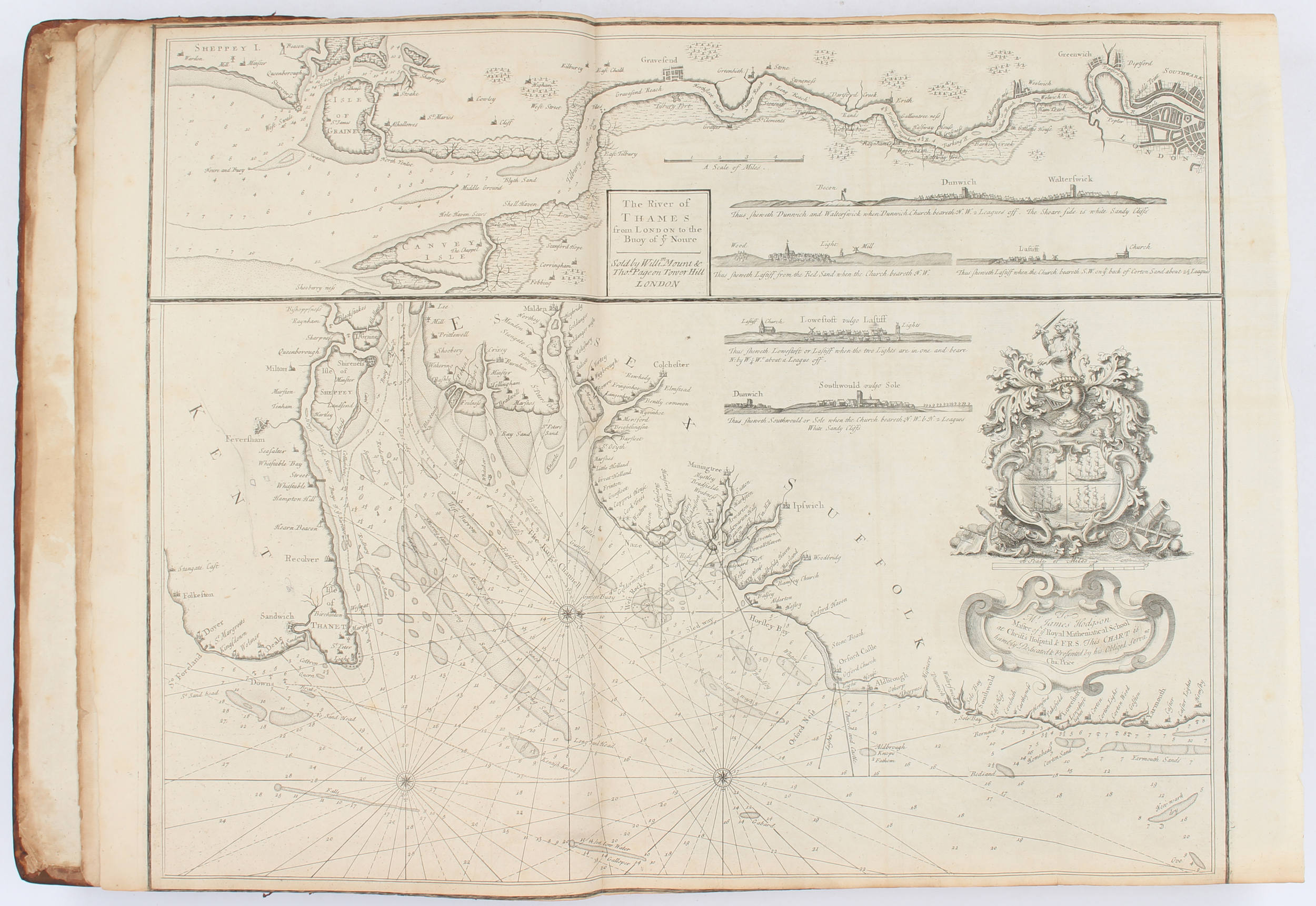
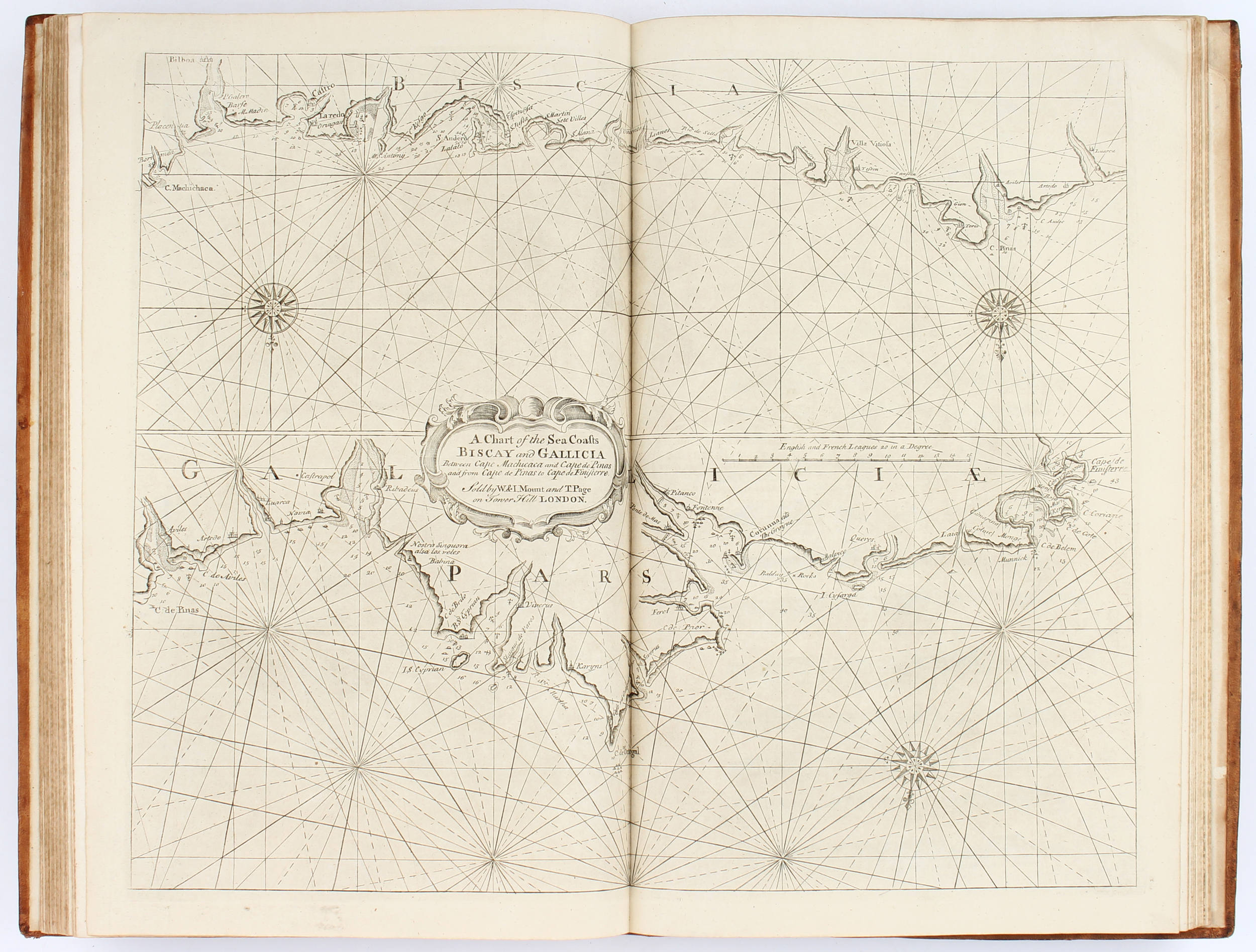
The English Pilot for the Southern Navigation describing the sea-coasts, capes, headlands, bays, roads, harbours, rivers and ports . London: W. and J. Mount, T. Page and Son, 1758. Part 1 of the English Pilot . The title was a patriotic call to buy an English maritime atlas rather than a Dutch one, a call which was answered since this simple guide to coastal navigation enjoyed continuous publication from 1671 to 1803. Parts 1-3 were originally compiled by John Seller, but the publishing rights were acquired by William Fisher and John Thornton a fellow cartographer; after Fisher’s death in 1691, Thornton was joined as publisher by Richard Mount, Thomas Page and their families. Part 1 [described as Book II in the first edition but subsequently as Book I, part 1], is devoted to the ports of Great Britain and Ireland, and also the coasts of France, Portugal and Spain. Some copies of this edition have 18 charts, others 22 (Tooley, Maps and Map-Makers p.61); a copy sold in 1970 had 25 plates. ESTC lists only 3 copies of this edition, all in North America. Folio (480 x 291mm). 22 double-page and/or folding engraved charts, a few with touches of hand-colour, 2 engraved charts in text, woodcut coastal profiles (some minor repairs to charts). Late 19th-century calf with more recent spine label. Provenance : Colonel M. Browne, The Middlesex Regiment, 16 January 1943 (inscription and bookplate).
The English Pilot for the Southern Navigation describing the sea-coasts, capes, headlands, bays, roads, harbours, rivers and ports . London: W. and J. Mount, T. Page and Son, 1758. Part 1 of the English Pilot . The title was a patriotic call to buy an English maritime atlas rather than a Dutch one, a call which was answered since this simple guide to coastal navigation enjoyed continuous publication from 1671 to 1803. Parts 1-3 were originally compiled by John Seller, but the publishing rights were acquired by William Fisher and John Thornton a fellow cartographer; after Fisher’s death in 1691, Thornton was joined as publisher by Richard Mount, Thomas Page and their families. Part 1 [described as Book II in the first edition but subsequently as Book I, part 1], is devoted to the ports of Great Britain and Ireland, and also the coasts of France, Portugal and Spain. Some copies of this edition have 18 charts, others 22 (Tooley, Maps and Map-Makers p.61); a copy sold in 1970 had 25 plates. ESTC lists only 3 copies of this edition, all in North America. Folio (480 x 291mm). 22 double-page and/or folding engraved charts, a few with touches of hand-colour, 2 engraved charts in text, woodcut coastal profiles (some minor repairs to charts). Late 19th-century calf with more recent spine label. Provenance : Colonel M. Browne, The Middlesex Regiment, 16 January 1943 (inscription and bookplate).

.jpg)


.jpg)
.jpg)


.jpg)
.jpg?w=400)


Try LotSearch and its premium features for 7 days - without any costs!
Be notified automatically about new items in upcoming auctions.
Create an alert