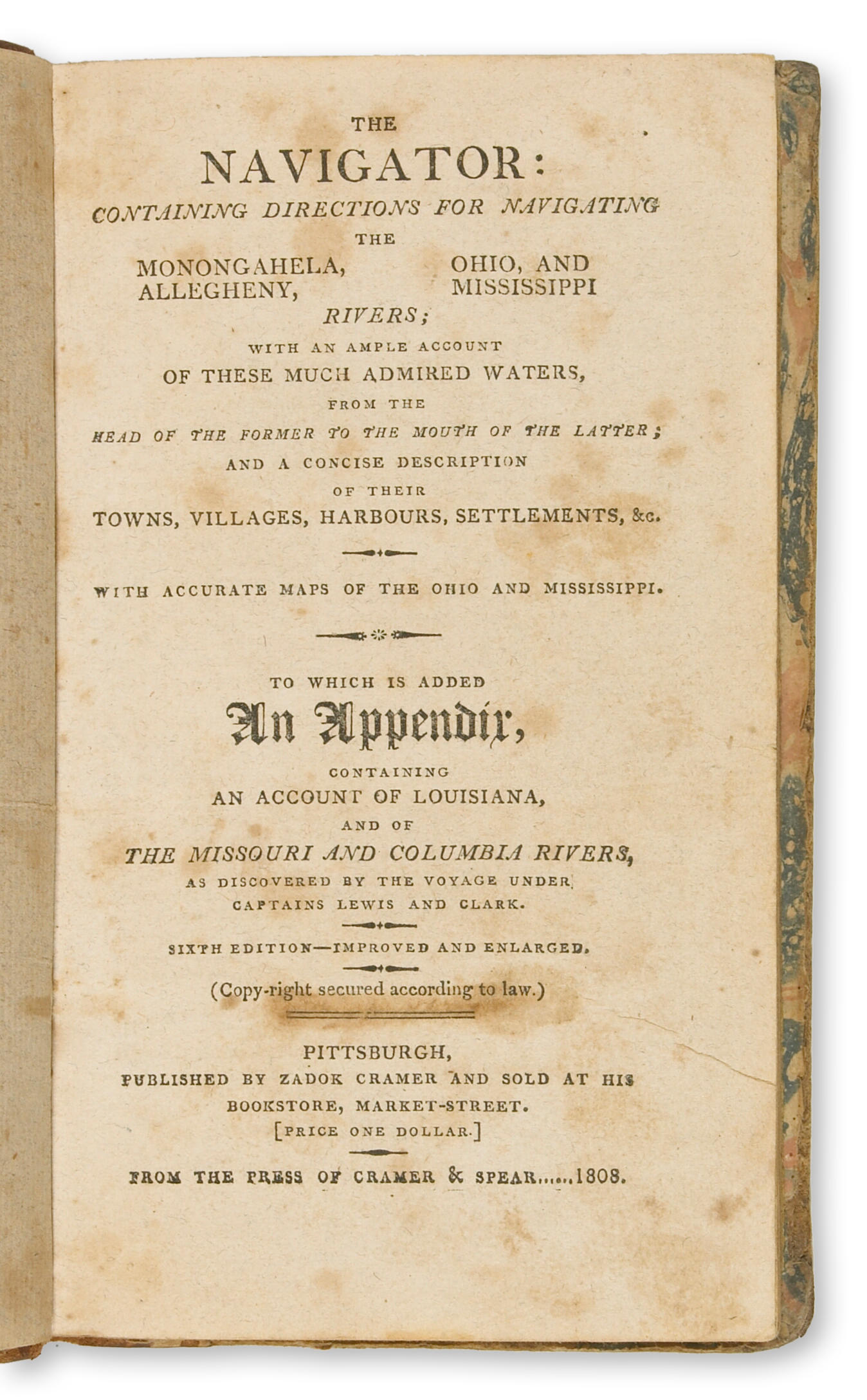
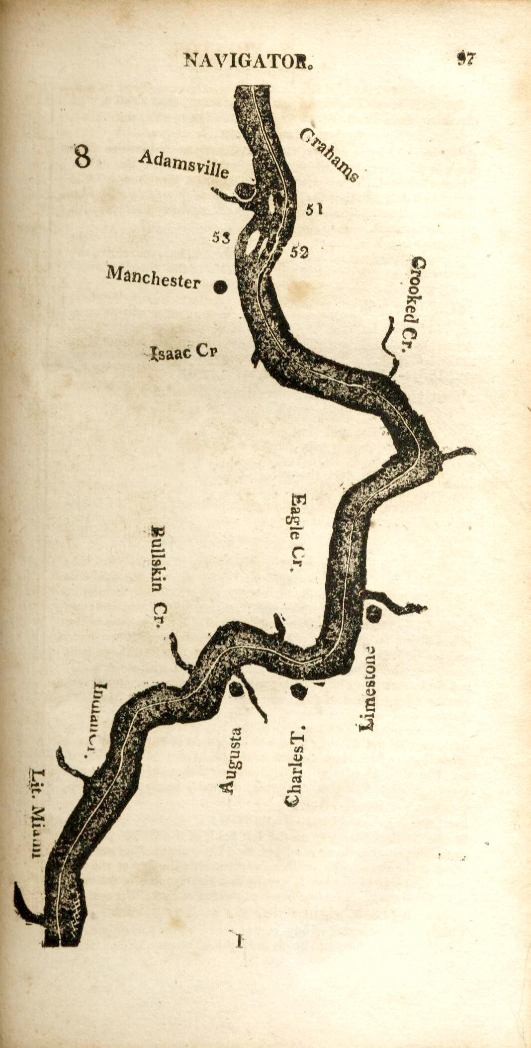
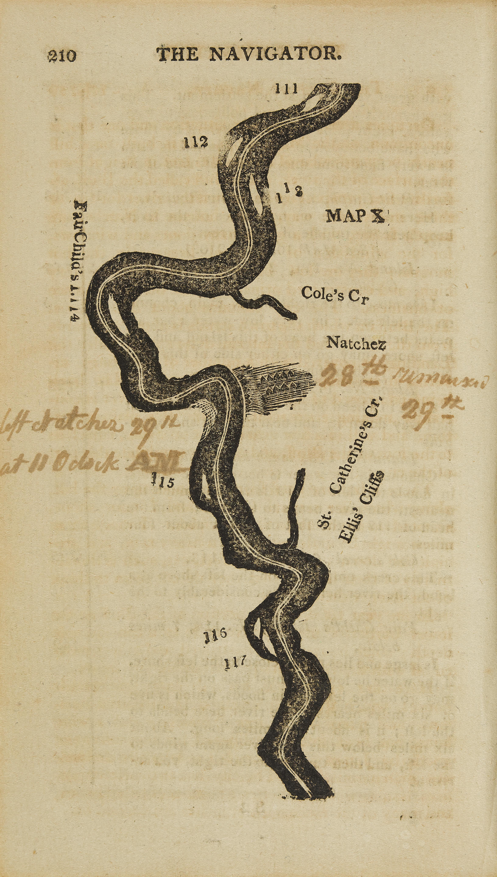
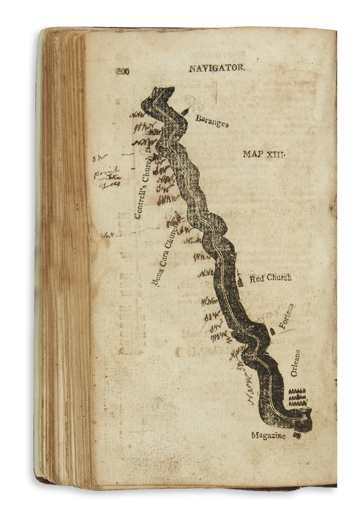
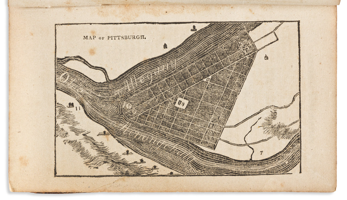
Title: The Navigator; Containing Directions for Navigating the Monongahela, Allegheny, Ohio and Mississippi Rivers. Author: Cramer, Zadok Place: Pittsburgh Publisher: Cramer, Spear and Eichbaum Date: 1814 Description: 360 pp. Complete with 26 strip maps of the Ohio and Mississippi Rivers plus plans of Pittsburgh and the Falls of Ohio. (12mo) 17x11 cm (6¾x4¼") period half calf and marbled boards, spine ruled and lettered in gilt. Custom case. "Eighth Edition - Improved and Enlarged." For many years an essential guide for American river pilot. This 1814 edition of The Navigator has the distinction of being the largest edition published. "The Navigator was the result of an original idea of Cramer's. He had been in Pittsburgh but a short time when he realized the necessity for a publication giving detailed information for navigating the Western rivers.... It is generally supposed that the first edition of the Navigator was published in 1801, yet no copy bearing that date is known to be in existence. There are extant several copies of the edition of 1802...The earlier editions were small octavo pamphlets bound in coarse paper covers, the third containing forty pages... Cramer declared that he had obtained the information set forth "From the journals of gentlemen of observation, and now minutely corrected by several persons who have navigated those rivers for fifteen and twenty years." It contained a description of and directions for navigating the Ohio River, with only a description of the Mississippi. Directions for navigating the latter stream came in later editions. When Cramer began publishing his early Navigators, France still owned the Louisiana Territory. Louisiana was considered a great land of promise throughout the United States, and merchants and intending emigrants cast longing eyes in its direction. After Louisiana was purchased, the succeeding editions of the Navigator contained much detailed information regarding it [the Mississippi River]. A flood of emigration to the territory set in, most of the emigrants going by way of Pittsburgh; and there was a pronounced and constant increase in the sales of the Navigators...Captain Meriwether Lewis, and Captain William Clark made their famous expedition from the mouth of the Missouri River through the interior of the United States in the years 1804, 1805, and 1806. In 1807 Cramer published the first account of the undertaking, being the Journal of Patrick Gass, a member of the expedition. From this book Cramer compiled an account of the Missouri and Columbia rivers, which appeared in the Navigator for 1808, and in many subsequent editions. Each succeeding edition of the Navigator was an improvement on the one that preceded it. Every edition contained a description, short or long, of the "towns, posts, harbors, and settlements" on the rivers of which the work treated, the matter relating to Pittsburgh being particularly valuable, and as the editions increased in size, the descriptive matter grew in volume... The success of the Navigator reached its climax in 1814, when it contained three hundred and sixty pages. From that time the size of the book gradually decreased, until in 1824, when its publication was suspended, it had fallen to two hundred and seventy-five pages" (Carnegie Library of Pittsburgh). "The eighth "Improved and enlarged" edition of 1814,..., grew to 360 pages and twenty-eight maps. It included an "Abridgement of Lewis and Clark's Expedition," based on the Gass Journal and including the recently published Biddle-Allen edition of the two captains' narratives." (Beckham, The Literature of the Lewis and Clark Expedition. Portland; Lewis and Clark College, (2003)). Inscription on the front endpaper from a Horatio Alden to a Samuel McGuire, dated April 10. 1814 at New Orleans. Lot Amendments Condition: Binding worn, vertical crack to spine, boards rubbed; one map with tear extending briefly into map but without loss; a very good copy i
Title: The Navigator; Containing Directions for Navigating the Monongahela, Allegheny, Ohio and Mississippi Rivers. Author: Cramer, Zadok Place: Pittsburgh Publisher: Cramer, Spear and Eichbaum Date: 1814 Description: 360 pp. Complete with 26 strip maps of the Ohio and Mississippi Rivers plus plans of Pittsburgh and the Falls of Ohio. (12mo) 17x11 cm (6¾x4¼") period half calf and marbled boards, spine ruled and lettered in gilt. Custom case. "Eighth Edition - Improved and Enlarged." For many years an essential guide for American river pilot. This 1814 edition of The Navigator has the distinction of being the largest edition published. "The Navigator was the result of an original idea of Cramer's. He had been in Pittsburgh but a short time when he realized the necessity for a publication giving detailed information for navigating the Western rivers.... It is generally supposed that the first edition of the Navigator was published in 1801, yet no copy bearing that date is known to be in existence. There are extant several copies of the edition of 1802...The earlier editions were small octavo pamphlets bound in coarse paper covers, the third containing forty pages... Cramer declared that he had obtained the information set forth "From the journals of gentlemen of observation, and now minutely corrected by several persons who have navigated those rivers for fifteen and twenty years." It contained a description of and directions for navigating the Ohio River, with only a description of the Mississippi. Directions for navigating the latter stream came in later editions. When Cramer began publishing his early Navigators, France still owned the Louisiana Territory. Louisiana was considered a great land of promise throughout the United States, and merchants and intending emigrants cast longing eyes in its direction. After Louisiana was purchased, the succeeding editions of the Navigator contained much detailed information regarding it [the Mississippi River]. A flood of emigration to the territory set in, most of the emigrants going by way of Pittsburgh; and there was a pronounced and constant increase in the sales of the Navigators...Captain Meriwether Lewis, and Captain William Clark made their famous expedition from the mouth of the Missouri River through the interior of the United States in the years 1804, 1805, and 1806. In 1807 Cramer published the first account of the undertaking, being the Journal of Patrick Gass, a member of the expedition. From this book Cramer compiled an account of the Missouri and Columbia rivers, which appeared in the Navigator for 1808, and in many subsequent editions. Each succeeding edition of the Navigator was an improvement on the one that preceded it. Every edition contained a description, short or long, of the "towns, posts, harbors, and settlements" on the rivers of which the work treated, the matter relating to Pittsburgh being particularly valuable, and as the editions increased in size, the descriptive matter grew in volume... The success of the Navigator reached its climax in 1814, when it contained three hundred and sixty pages. From that time the size of the book gradually decreased, until in 1824, when its publication was suspended, it had fallen to two hundred and seventy-five pages" (Carnegie Library of Pittsburgh). "The eighth "Improved and enlarged" edition of 1814,..., grew to 360 pages and twenty-eight maps. It included an "Abridgement of Lewis and Clark's Expedition," based on the Gass Journal and including the recently published Biddle-Allen edition of the two captains' narratives." (Beckham, The Literature of the Lewis and Clark Expedition. Portland; Lewis and Clark College, (2003)). Inscription on the front endpaper from a Horatio Alden to a Samuel McGuire, dated April 10. 1814 at New Orleans. Lot Amendments Condition: Binding worn, vertical crack to spine, boards rubbed; one map with tear extending briefly into map but without loss; a very good copy i




Try LotSearch and its premium features for 7 days - without any costs!
Be notified automatically about new items in upcoming auctions.
Create an alert