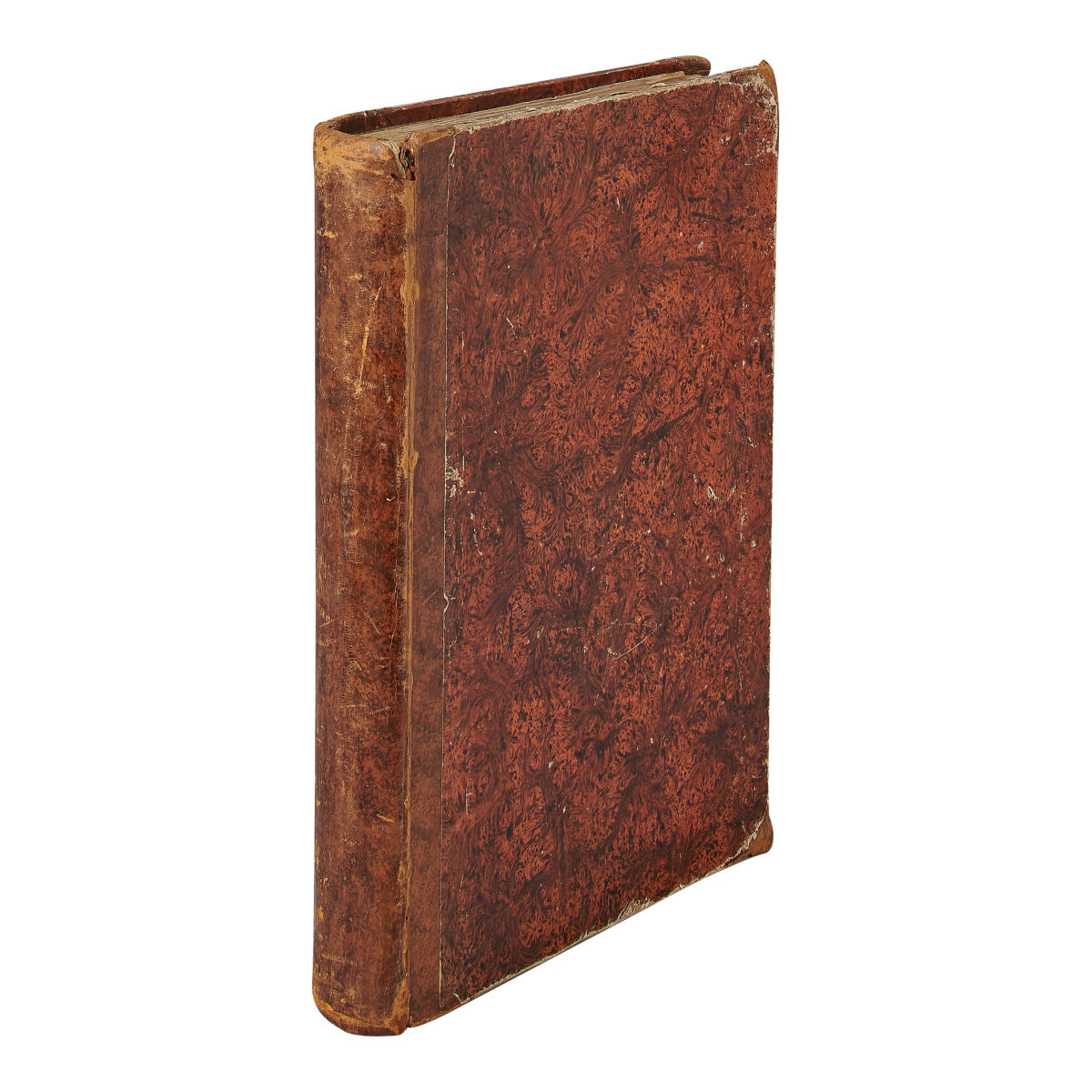
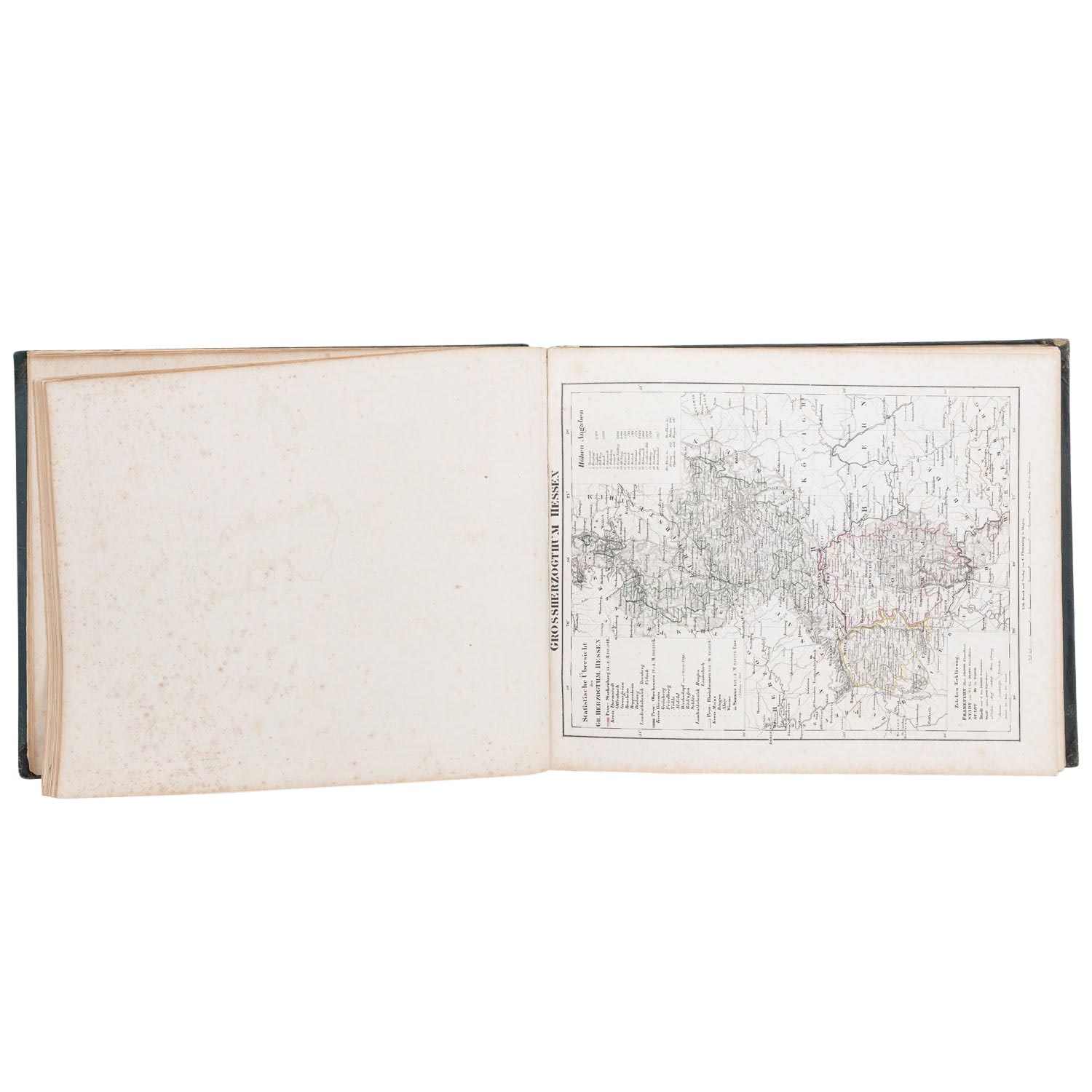
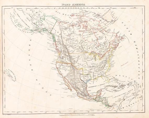
Title: Vollständiger Hand-Atlas der neueren Erdbeschreibung über alle Theile der Erde in 80 Blättern...Dr. K. Sohr Author: Flemming, C[arl] and Dr. K[arl] Sohr Place: Glogau & Leipzig Publisher: C[arl] Flemming Date: 1847 Description: With 71 lithographed maps and charts, all but 3 with hand-coloring in outline (4 are double-page and 1 folding); engraved title page. (Oblong folio) 14x17½, period quarter morocco and marbled boards. World maps primarily of European countries and includes a map of North America, the United States and a map of Mexico (with a large portion of the U.S.). These three maps pertaining to North America show Texas as a separate country, and the present-day western U.S. (California and the Southwest) is labeled as Freie Indianer and shown belonging to Mexico. Plus, several Tribal Indian names represented. Seven of the map plates are notable or relate to the Americas or contain a portion of the Americas. See Phillips Atlases, 6097 (citing 1844 edition). Lot Amendments Condition: Rubbing and edge wear, foot of spine torn; binding shaken, lacks front free endpaper and begins at title page, a few small tears and splits (chiefly to folding and double-page maps), foxing, soiling, occasional dampstains, scattered archival wax-paper repairs to leaf versos throughout, previous owner’s signatures; most maps still very good. Item number: 156543
Title: Vollständiger Hand-Atlas der neueren Erdbeschreibung über alle Theile der Erde in 80 Blättern...Dr. K. Sohr Author: Flemming, C[arl] and Dr. K[arl] Sohr Place: Glogau & Leipzig Publisher: C[arl] Flemming Date: 1847 Description: With 71 lithographed maps and charts, all but 3 with hand-coloring in outline (4 are double-page and 1 folding); engraved title page. (Oblong folio) 14x17½, period quarter morocco and marbled boards. World maps primarily of European countries and includes a map of North America, the United States and a map of Mexico (with a large portion of the U.S.). These three maps pertaining to North America show Texas as a separate country, and the present-day western U.S. (California and the Southwest) is labeled as Freie Indianer and shown belonging to Mexico. Plus, several Tribal Indian names represented. Seven of the map plates are notable or relate to the Americas or contain a portion of the Americas. See Phillips Atlases, 6097 (citing 1844 edition). Lot Amendments Condition: Rubbing and edge wear, foot of spine torn; binding shaken, lacks front free endpaper and begins at title page, a few small tears and splits (chiefly to folding and double-page maps), foxing, soiling, occasional dampstains, scattered archival wax-paper repairs to leaf versos throughout, previous owner’s signatures; most maps still very good. Item number: 156543


Try LotSearch and its premium features for 7 days - without any costs!
Be notified automatically about new items in upcoming auctions.
Create an alert