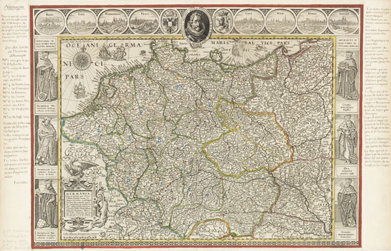
Novus Atlas. Bd. I. 1634
Atlanten. - (Blaeu, W. J.), [Novus Atlas, das ist Abbildung und Beschreibung von allen Ländern des Erdreichs. Gantz vernewt und verbessert]. Bd. I (von 2; Fragment). Mit 29 doppelblattgr. Kupferkarten (st. 156) und 4 zusätzl. Karten (3 bei H. Hondius). Amsterdam, Blaeu 1634-35. HLdr. d. 18. Jhs. Folio. Koeman 2:131. 1. - Phillips/Le Gear 5933. - Fragmentarisches Exemplar von Bd. I in der seltenen ersten Ausgabe. - Enthält 24 Teilkarten von Frankreich, darunter die frühe, noch mit "Guiljelmus Ianßonius" sign. Karte La Principauté d'Orange und die aus Bd. II eingeb. Karte von Metz, 2 Karten zu den Niederlanden (die Karte von Nordbrabant als Probedruck ohne die Wappen in den seitl. Kartuschen, und eine aus Bd. II eingeb. Karte von Bergen op Zoom), und 3 Karten zu Spanien. Die 3 Karten von Hondius zeigen die Pays de Caux in der Normandie (Koeman 4405:1.1) die Umgebung von Loudon (4505:1A) und Polder in Nordholland (3560:1.1), die vierte (blattgr.) Sonderkarte von "Arnold Timmermans, Caert-vercooper" in Amsterdam, dat. 1634, zeigt Deiche zwischen Hulst und Zas. - Ränder tlw. leicht fleckig, 6 Karten bis an die Platte beschnitten, montiert (darunter die 3 Hondius-Karten) und durch die Leimung etw. gebräunt, 5 Karten und 3 Textbll. gelöst, 1 Karte mit kl. Ausschnitt (einer rückseit. Initiale). Die Karten jedoch insgesamt gut erhalten. Einbd. mit Gebrauchsspuren. Fragmentary copy of the first volume, in the rare first edition. 29 doublepage engr. maps (of 156) and 4 additional maps, 3 of them by H. Hondius. 18th cent. half calf. - The collection contains 24 maps of France (one map with the early signature "Guiljelmus Ianßonius"), 2 maps of the Netherlands and 3 maps of Spain, the 4 extra maps also with parts of the Netherlands and of France. - Margins partly slightly stained, 6 maps (incl. the 3 Hondius maps) trimmed and mounted, therefore browned by the glueing, 5 maps and 3 text leaves detached, 1 map with small cut out (of an initial on verso). Overall well preserved. Binding with traces of use.


Try LotSearch and its premium features for 7 days - without any costs!
Be notified automatically about new items in upcoming auctions.
Create an alert