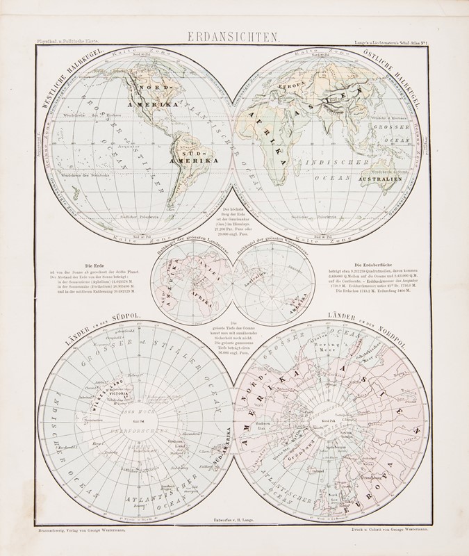
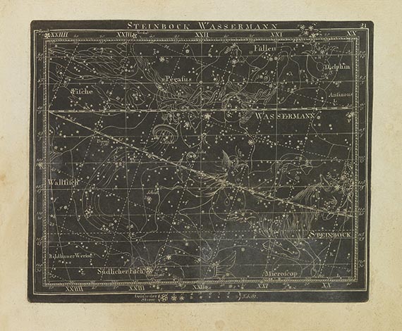
Henry LANGETheodor VON LIECHTENSTERN Atlas. Schul-Atlas zum Unterrichte in der Erdkunde. LIECHTENSTERN, Theodor, von – LANGE, Henry. Schul-Atlas zum Unterrichte in der Erdkunde. Braunschweig, G. Westermann, 1877 Large 4to, 285x175 mm; publisher’s binding with blinding tooling and gilt tile on the upper cover. 45 double pages plates engraved on steel in the original color. Stain on backcover and some damages on spine. Good copy.
Atlas of 45 double page plates in the original color. The plates are preceded by the preamble of Henry Lange and George Westermann and Lange's description of the currents map. The great work of the Baron of Liechtenstern, considered together with Emil von Sydow, one of the founders of methodological mapping in schools and a pioneer of physic alatlases. He contributed enormously to the development of geography and modern science in schools since the beginning of the nineteenth century. The cartographic implementation of the physical atlas to which he participated led to the development of several surprising aspects, including the representation of mountains, regional colors and colored elevations. In this work, for the first time, Liechtenstern used a lighter and darker brown tone to characterize the highlands and high mountains and a green-beige color to represent the depth.


Try LotSearch and its premium features for 7 days - without any costs!
Be notified automatically about new items in upcoming auctions.
Create an alert