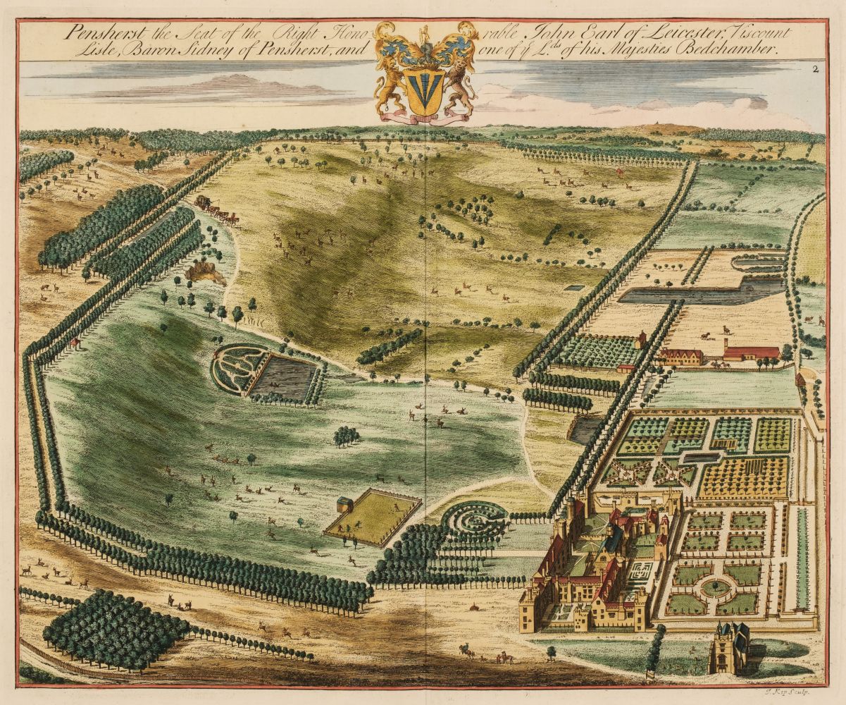
A Journey Round the Coast of Kent, folding engraved map, extra-illustrated with a total of 16 engraved plates (some mounted), later cloth, Baldwin, 1818--BOWEN (EMANUEL) An Accurate Map of the County of Kent Divided into its Lathes, folding engraved map, hand-coloured in outline, dissected and laid on later linen, slipcase, 530 x 710mm., J. & C. Bowles and Sayer, [c.1750]--IRELAND (W.H.) England's Topographer, or a New and Complete History of the County of Kent, 4 vol., engraved title to volume 1, folding engraved map and numerous plates, occasional foxing, contemporary mottled calf, rebacked, G. Virtue, 1828-1830--SOMNER (WILLIAM) The Antiquities of Canterbury. Or a Survey of that Ancient Citie, with the Suburbs, woodcut arms on verso of title, folding map and 2 plates (one repaired), some dampstaining, small hole in title just affecting imprint, last leaf repaired, contemporary calf, rebacked [ESTC S121902], 4to, J[ohn] L[egat] for Richard Thrale, 1640--KILBURNE (RICHARD) A Topographie, or Survey of the County of Kent, FIRST EDITION, engraved portrait, A3 and much of 3H2 supplied in manuscript facsimile, one or two marginal tears and repairs, ownership signatures of John Austen and Arthur Hussey (1847), later calf gilt, rebacked [ESTC R11347], Thomas Mabb for Henry Atkinson, 1659, 8vo unless otherwise stated; and a quantity of others on Kent, and occasionally Sussex (quantity)
A Journey Round the Coast of Kent, folding engraved map, extra-illustrated with a total of 16 engraved plates (some mounted), later cloth, Baldwin, 1818--BOWEN (EMANUEL) An Accurate Map of the County of Kent Divided into its Lathes, folding engraved map, hand-coloured in outline, dissected and laid on later linen, slipcase, 530 x 710mm., J. & C. Bowles and Sayer, [c.1750]--IRELAND (W.H.) England's Topographer, or a New and Complete History of the County of Kent, 4 vol., engraved title to volume 1, folding engraved map and numerous plates, occasional foxing, contemporary mottled calf, rebacked, G. Virtue, 1828-1830--SOMNER (WILLIAM) The Antiquities of Canterbury. Or a Survey of that Ancient Citie, with the Suburbs, woodcut arms on verso of title, folding map and 2 plates (one repaired), some dampstaining, small hole in title just affecting imprint, last leaf repaired, contemporary calf, rebacked [ESTC S121902], 4to, J[ohn] L[egat] for Richard Thrale, 1640--KILBURNE (RICHARD) A Topographie, or Survey of the County of Kent, FIRST EDITION, engraved portrait, A3 and much of 3H2 supplied in manuscript facsimile, one or two marginal tears and repairs, ownership signatures of John Austen and Arthur Hussey (1847), later calf gilt, rebacked [ESTC R11347], Thomas Mabb for Henry Atkinson, 1659, 8vo unless otherwise stated; and a quantity of others on Kent, and occasionally Sussex (quantity)


.jpg)


Try LotSearch and its premium features for 7 days - without any costs!
Be notified automatically about new items in upcoming auctions.
Create an alert