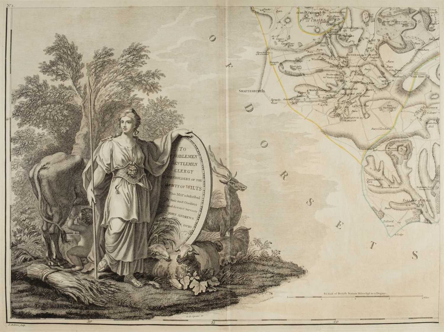
ANDREWS, John (1736-1709) and Andrew DURY (fl.1742-1778). A topographical map of Wiltshire on a scale of 2 inches to a mile . London: Dury and Andrews, 1773. 2° (530 x 380mm). With 19 double-page engraved sheets, including folding index map, all hand-coloured in outline. (Variable light spotting.) Contemporary half russia (worn, front cover detached). Provenance : Signet Library (gilt arms to covers). FIRST EDITION .
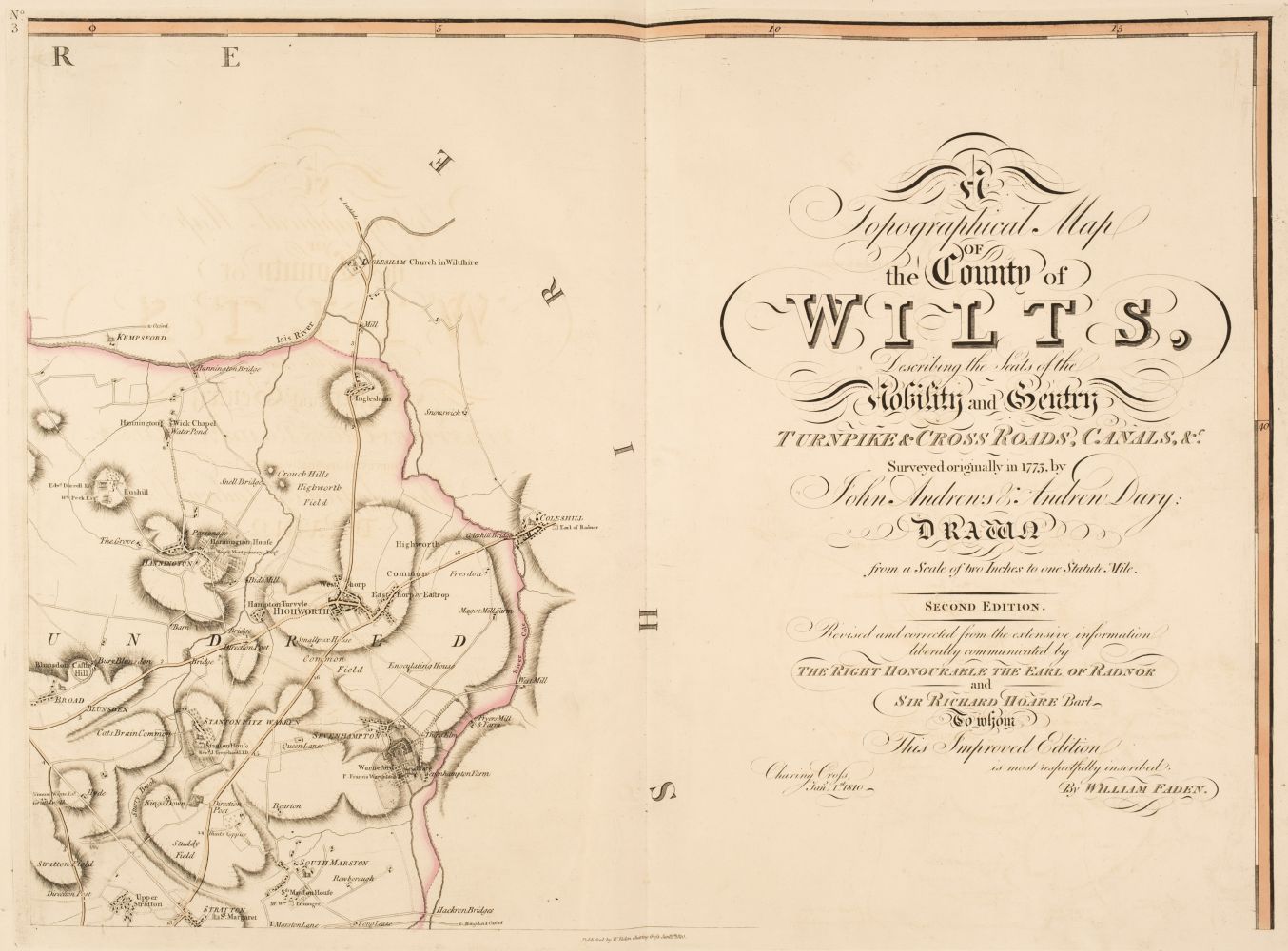
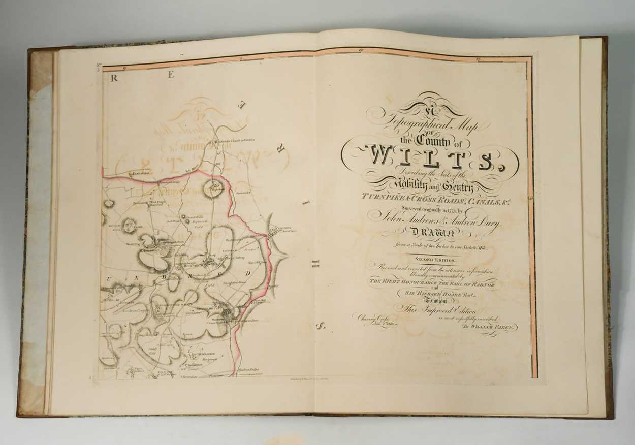
ANDREWS, John (1736-1709) and Andrew DURY (fl.1742-1778). A topographical map of Wiltshire on a scale of 2 inches to a mile . London: Dury and Andrews, 1773. 2° (530 x 380mm). With 19 double-page engraved sheets, including folding index map, all hand-coloured in outline. (Variable light spotting.) Contemporary half russia (worn, front cover detached). Provenance : Signet Library (gilt arms to covers). FIRST EDITION . ANDREWS, John (1736-1709) and Andrew DURY (fl.1742-1778). A topographical map of the county Wilts, describing the seats of the nobility and gentry, turnpike and cross roads, canals, surveyed originally in 1773 … drawn from a scale of two inches to one statute mile. Second edition, revised and corrected . London: W. Faden 1810. 2° (555 x 380mm). With 19 double-page engraved sheets, including index map, all hand-coloured in outline, typographic title and index. (Offsetting throughout.) Contemporary diced russia (rebacked, preserving original gilt spine, extremities faintly rubbed). Provenance : unidentified gilt crest of griffin’s head at head of spine – evidence of bookplate removed.






Try LotSearch and its premium features for 7 days - without any costs!
Be notified automatically about new items in upcoming auctions.
Create an alert