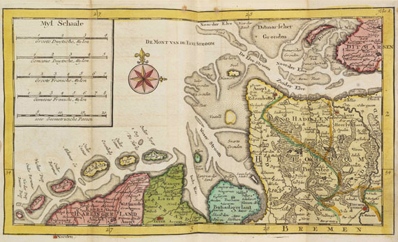
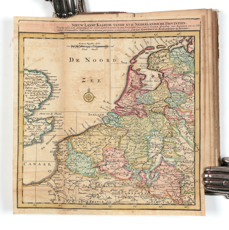
en de verdere aangrensende Landtschappen, Zeën en Rivieren [..]. Hier agter is nog bygevoegt een Steede-Wyzertje, [..]. “Te Deventer, [..] door Joan de Lat [..]”, 1737, consisting of 4 unnumb. leaves with Dutch letterpress text (incl. title with engraved vignette), 1 fold. engraved general map of the Low Countries (“Nieuw Landt Kaartie vande XVII Nederlandsche Provintien [..]”, ca. 19,5 x 18,5 cm.) by Albert Schut, 22 fold. engraved maps (nearly all ca. 14,5 x 22,5 cm.) & 2 fold. engraved distance tables (i.a. “Nieuwe Steedewyzer over de 17 Nederlandsche Provincien [..]”, ca. 18 x 20 cm.), all in a fine CONTEMPORARY HAND-COLOURING. Narrow 8vo (ca. 18,5 x 8 cm.), early 18th-cent. half-roan. ¶ Koeman (Atlantes Neerlandici) II, p. 262 (Lat 1B). Rare second edition of a nice early 18th-cent. Dutch pocket atlas published by the Dutch bookseller Jan de Lat (active in Deventer ca. 1734-1750). The first edition was published in 1734. – With small imperfections (binding sl. rubbed/ worn, text-leaves almost loose, several maps partly torn on folds (occ. strengthened with paper on verso), sl. foxed/ browned), but nevertheless in an acceptable condition.
en de verdere aangrensende Landtschappen, Zeën en Rivieren [..]. Hier agter is nog bygevoegt een Steede-Wyzertje, [..]. “Te Deventer, [..] door Joan de Lat [..]”, 1737, consisting of 4 unnumb. leaves with Dutch letterpress text (incl. title with engraved vignette), 1 fold. engraved general map of the Low Countries (“Nieuw Landt Kaartie vande XVII Nederlandsche Provintien [..]”, ca. 19,5 x 18,5 cm.) by Albert Schut, 22 fold. engraved maps (nearly all ca. 14,5 x 22,5 cm.) & 2 fold. engraved distance tables (i.a. “Nieuwe Steedewyzer over de 17 Nederlandsche Provincien [..]”, ca. 18 x 20 cm.), all in a fine CONTEMPORARY HAND-COLOURING. Narrow 8vo (ca. 18,5 x 8 cm.), early 18th-cent. half-roan. ¶ Koeman (Atlantes Neerlandici) II, p. 262 (Lat 1B). Rare second edition of a nice early 18th-cent. Dutch pocket atlas published by the Dutch bookseller Jan de Lat (active in Deventer ca. 1734-1750). The first edition was published in 1734. – With small imperfections (binding sl. rubbed/ worn, text-leaves almost loose, several maps partly torn on folds (occ. strengthened with paper on verso), sl. foxed/ browned), but nevertheless in an acceptable condition.


Try LotSearch and its premium features for 7 days - without any costs!
Be notified automatically about new items in upcoming auctions.
Create an alert