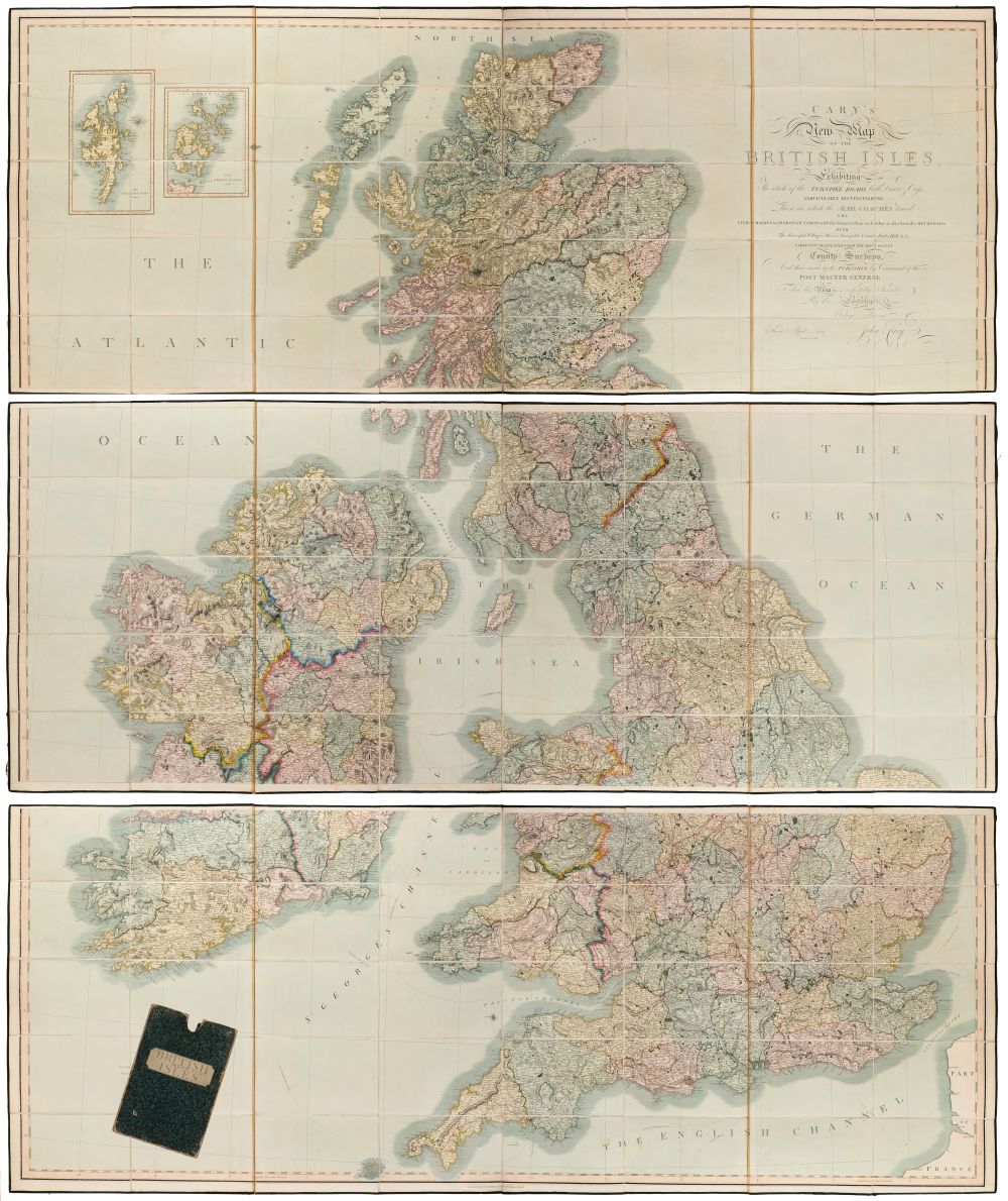
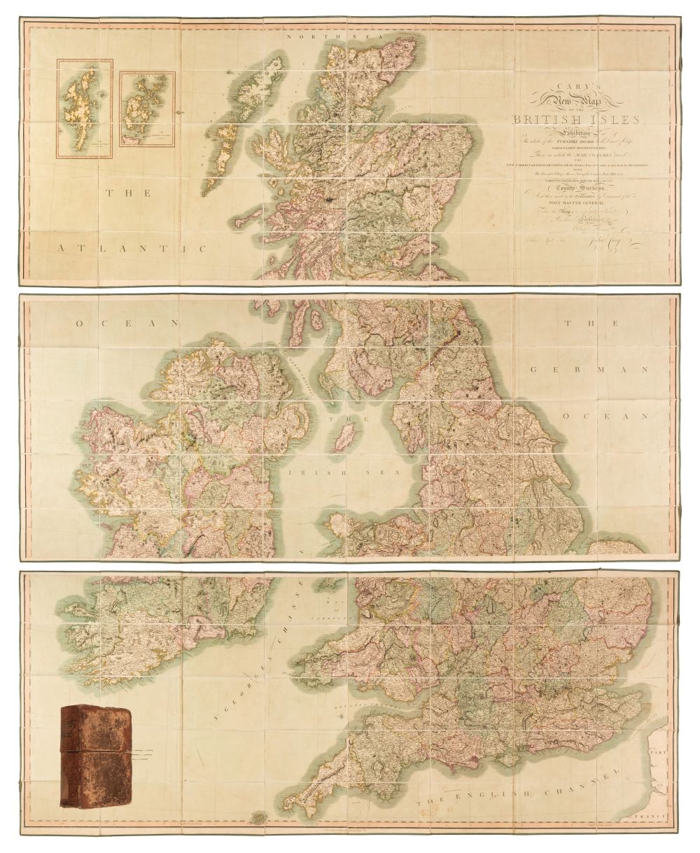
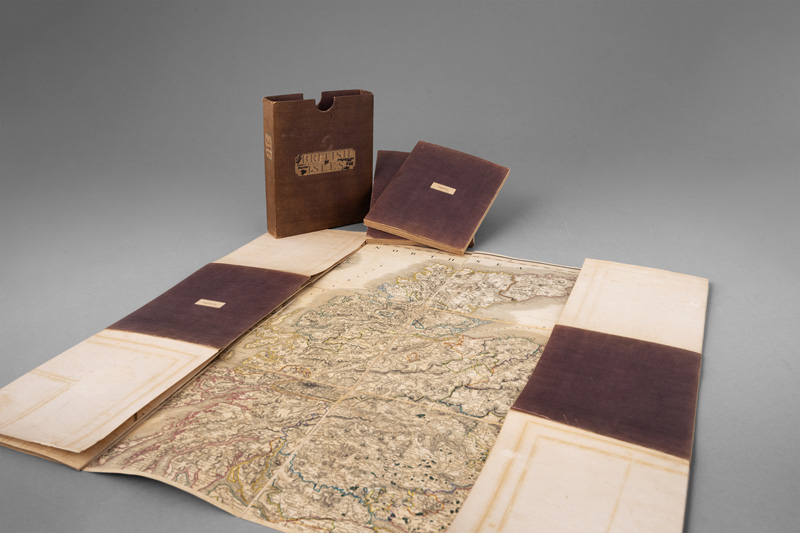
British Isles.- Cary (John) Cary's Reduction of his Large Map of England and Wales, with part of Scotland, including the east coast of Ireland and the Isle of Man, with part of France at the lower right, engraved map with some outline hand-colouring, 770 x 640 mm. (30 1/4 x 25 1/4 in), dissected and mounted on linen, minor spotting and surface dirt, in original slipcase, worn, 1805; together with 9 other folding maps, including 'Bowles's New Travelling Map of England and Wales', 1778, 'Bowles's New One-Sheet Plan of London and its Outskirts', 1808, 'Laurie and Whittle's Plan of London with its Environs including the Surrounding Villages', 1811, Emanuel Bowen's 'An Accurate Map of Devon Shire Divided into its Hundreds' and 'An Accurate Map of Dorset Shire Divided into its Hundreds', C. Smith's 'A New Map of the County of Dorset Divided into Hundreds', 1818, and three others covering Bristol, Cambridge, engraved and lithographed maps, all folding, most into contemporary slipcases, 8vo and smaller, 19th century, (10).
British Isles.- Cary (John) Cary's Reduction of his Large Map of England and Wales, with part of Scotland, including the east coast of Ireland and the Isle of Man, with part of France at the lower right, engraved map with some outline hand-colouring, 770 x 640 mm. (30 1/4 x 25 1/4 in), dissected and mounted on linen, minor spotting and surface dirt, in original slipcase, worn, 1805; together with 9 other folding maps, including 'Bowles's New Travelling Map of England and Wales', 1778, 'Bowles's New One-Sheet Plan of London and its Outskirts', 1808, 'Laurie and Whittle's Plan of London with its Environs including the Surrounding Villages', 1811, Emanuel Bowen's 'An Accurate Map of Devon Shire Divided into its Hundreds' and 'An Accurate Map of Dorset Shire Divided into its Hundreds', C. Smith's 'A New Map of the County of Dorset Divided into Hundreds', 1818, and three others covering Bristol, Cambridge, engraved and lithographed maps, all folding, most into contemporary slipcases, 8vo and smaller, 19th century, (10).


Try LotSearch and its premium features for 7 days - without any costs!
Be notified automatically about new items in upcoming auctions.
Create an alert