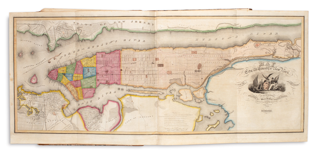
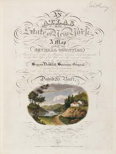
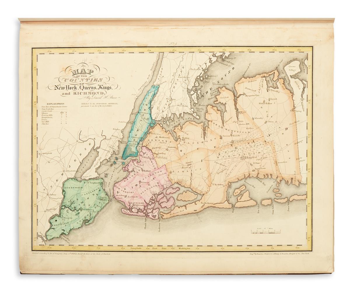
Burr, David H. (1803-1875) An Atlas of the State of New York. New York: David Burr, 1829 [but 1840]. Large folio, Manhattan map dated 1840 and identified as the third edition, with supplementary introduction dated 1840, census information on page 12 referring to the year 1839; illustrated with fifty-two large, mostly folding or double-page hand-colored engraved maps, including the general map of the state, Manhattan map, and numerous county maps; preliminaries with some damp staining, maps generally good; bound in original boards, water damage, with loss of paper on front board, 22 1/2 x 17 3/4 in. South Carolina's was the first atlas dedicated to a single state. This New York atlas was the second state atlas produced, and contains detailed maps of every section of New York by county, including striking hand-colored maps of Manhattan and Long Island often removed and lacking in other copies.
Burr, David H. (1803-1875) An Atlas of the State of New York. New York: David Burr, 1829 [but 1840]. Large folio, Manhattan map dated 1840 and identified as the third edition, with supplementary introduction dated 1840, census information on page 12 referring to the year 1839; illustrated with fifty-two large, mostly folding or double-page hand-colored engraved maps, including the general map of the state, Manhattan map, and numerous county maps; preliminaries with some damp staining, maps generally good; bound in original boards, water damage, with loss of paper on front board, 22 1/2 x 17 3/4 in. South Carolina's was the first atlas dedicated to a single state. This New York atlas was the second state atlas produced, and contains detailed maps of every section of New York by county, including striking hand-colored maps of Manhattan and Long Island often removed and lacking in other copies.


.jpg)


Try LotSearch and its premium features for 7 days - without any costs!
Be notified automatically about new items in upcoming auctions.
Create an alert