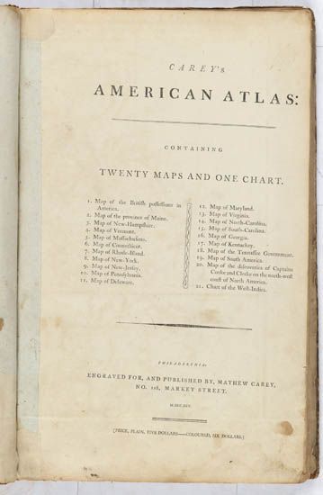
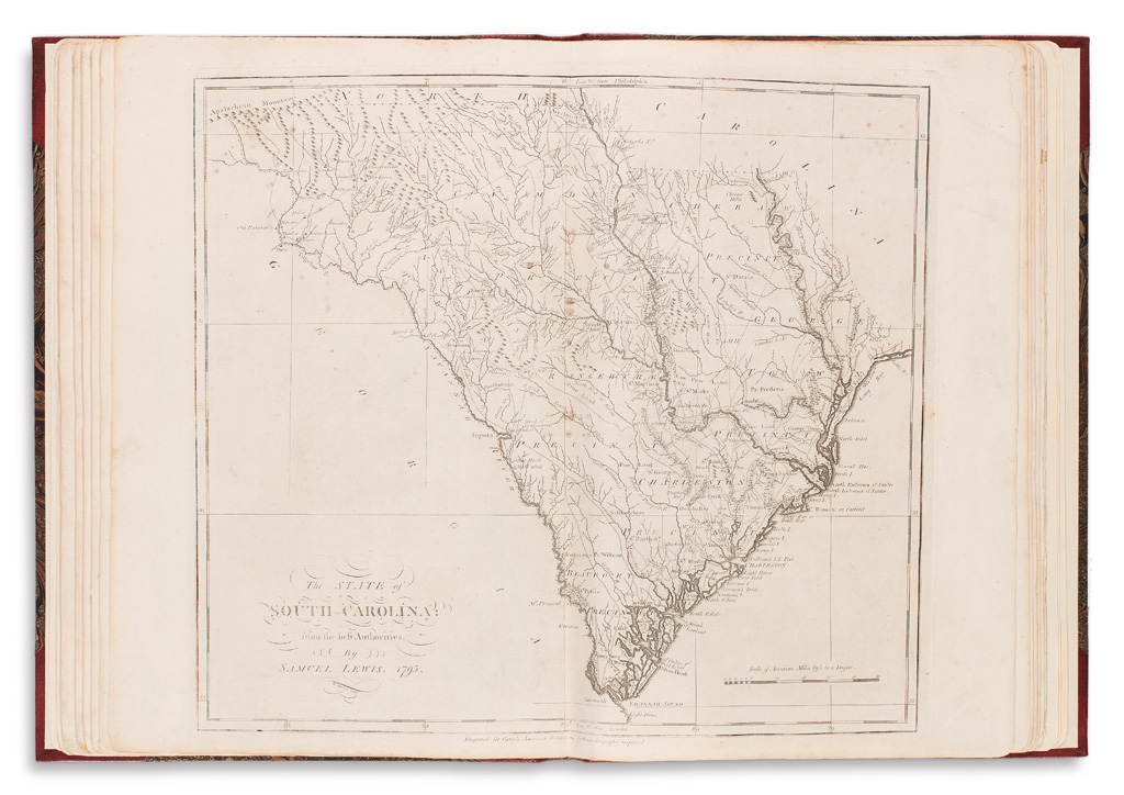
CAREY, Mathew (1760-1839). [ Carey's American Atlas . Philadelphia: Matthew Carey, 1795/1796.
CAREY, Mathew (1760-1839). [ Carey's American Atlas . Philadelphia: Matthew Carey, 1795/1796.] 2° (425 x 282 mm). 21 double-page engraved maps by Samuel Lewis and Amos Doolittle most with imprint reading "Engraved for Carey’s American edition of Guthrie's Geography improved." (Lacks title, some browning and staining.) Contemporary leather-backed marbled boards (some wear); cloth folding case. Provenance : Owen Jones (contemporary gift inscription on blank recto of first map to:) Cornelius Smith; Elizabeth Smith (name on upper cover); Frank T. Siebert (his sale Sotheby's New York, 28 October 1999, lot 214, described as “General Atlas" with 44 maps); Unnamed consignor (Bonhams New York, 2 December 2010, lot 129, now offered as “Carey’s American Atlas” with 21 maps). THE FIRST AMERICAN ATLAS ENGRAVED AND PUBLISHED IN AMERICA. Including: The British possessions in North America (no. 1), Maine (no. 2), New Hampshire (no. 3), Vermont (no. 4), Massachusetts (no. 5), Connecticut (no. 6), Rhode Island (no. 7), New York (no. 8), New Jersey (no. 9), Pennsylvania (no. 10), Delaware (no. 11)., Maryland (no. 12), Virginia (no. 13), North Carolina (no. 14), South Carolina (no. 15), Georgia (no. 16), Kentucky, reduced from Elihu Barker's large map (no. 17), Tennessee (no. 18, second state “(“State of Tennessee”), South America (no. 19), West Indies (no. 21), Map of the discoveries made by Captn. Cooke ... (no. 22). Evans 28390; Howes C135; Phillips 1362; Sabin 10855. .[ With: ] Carey's American Atlas . Philadelphia: Matthew Carey, 1795. 2° (374 x 230 mm). 8 (of 21) engraved maps (5 double-page, 3 folding) colored in outline, by Samuel Lewis and Amos Doolittle most with imprint reading "Engraved for Carey’s American edition of Guthrie's Geography improved." (Some browning and staining.) Contemporary leather-backed marbled boards (some wear); cloth folding case. Provenance : John McCormick, Leesburg (owner’s name in pencil dated Feb 10, 1823). 8 maps only including: "The British Possessions in North America," "The Province of Maine," "The State of Massachusetts," "The State of Rhode Island," "The State of New Jersey," “A map of the discoveries made by Capts. Cook and Clerke,,,”, “A Map of South America,” and "A Chart of the West Indies."
.jpg)


Try LotSearch and its premium features for 7 days - without any costs!
Be notified automatically about new items in upcoming auctions.
Create an alert