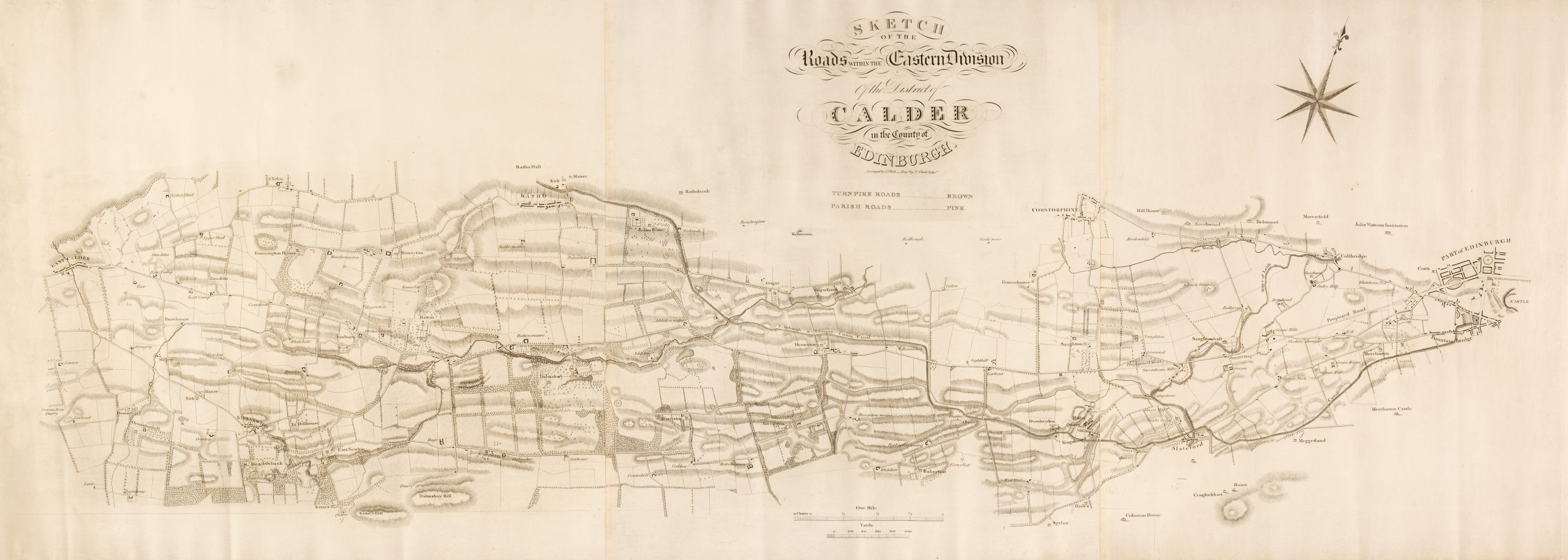
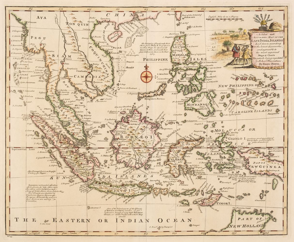
Title: Collection of 35 sketch maps and U.S. coast surveys Author: ** Place: Various places Publisher: Date: [From 1840’s-1860] Description: Highlights include: Public Surveys in Michigan, Iowa, etc.; several of Florida, including the entire state (in 1856), Tampa Land District and more; Louisiana; From San Diego to Pt. Sal; from Pt. Sal to Tomales Bay; Entrance to the San Francisco Bay; Map of the United States and Their Territories Between the Mississippi to the Pacific Ocean and Part of Mexico…by W.H. Emory; Sketch of Port Escondido (Lower California); Ohio River at Cumberland Dam; Polk, 31st Congress (showing Lower California); Geological Map of a Part of the State of California Explored in 1855 by Lt. R.S. Williamson, prepared by William P. Blake (hand-colored); Section constructed from Surveys under the direction of W.H. Emory; and much, much more. Together, 35 lithographed maps, one hand-colored. Various sizes, from 12.5x14.5 to 50.7x98 cm. Lot Amendments Condition: Condition varies, some with darkening, edge wear, a few with large tears or splits along folds (some of those heavily so), creases, other general wear; most very good or better. Sold as is. Item number: 145100
Title: Collection of 35 sketch maps and U.S. coast surveys Author: ** Place: Various places Publisher: Date: [From 1840’s-1860] Description: Highlights include: Public Surveys in Michigan, Iowa, etc.; several of Florida, including the entire state (in 1856), Tampa Land District and more; Louisiana; From San Diego to Pt. Sal; from Pt. Sal to Tomales Bay; Entrance to the San Francisco Bay; Map of the United States and Their Territories Between the Mississippi to the Pacific Ocean and Part of Mexico…by W.H. Emory; Sketch of Port Escondido (Lower California); Ohio River at Cumberland Dam; Polk, 31st Congress (showing Lower California); Geological Map of a Part of the State of California Explored in 1855 by Lt. R.S. Williamson, prepared by William P. Blake (hand-colored); Section constructed from Surveys under the direction of W.H. Emory; and much, much more. Together, 35 lithographed maps, one hand-colored. Various sizes, from 12.5x14.5 to 50.7x98 cm. Lot Amendments Condition: Condition varies, some with darkening, edge wear, a few with large tears or splits along folds (some of those heavily so), creases, other general wear; most very good or better. Sold as is. Item number: 145100


Try LotSearch and its premium features for 7 days - without any costs!
Be notified automatically about new items in upcoming auctions.
Create an alert