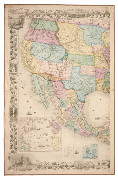
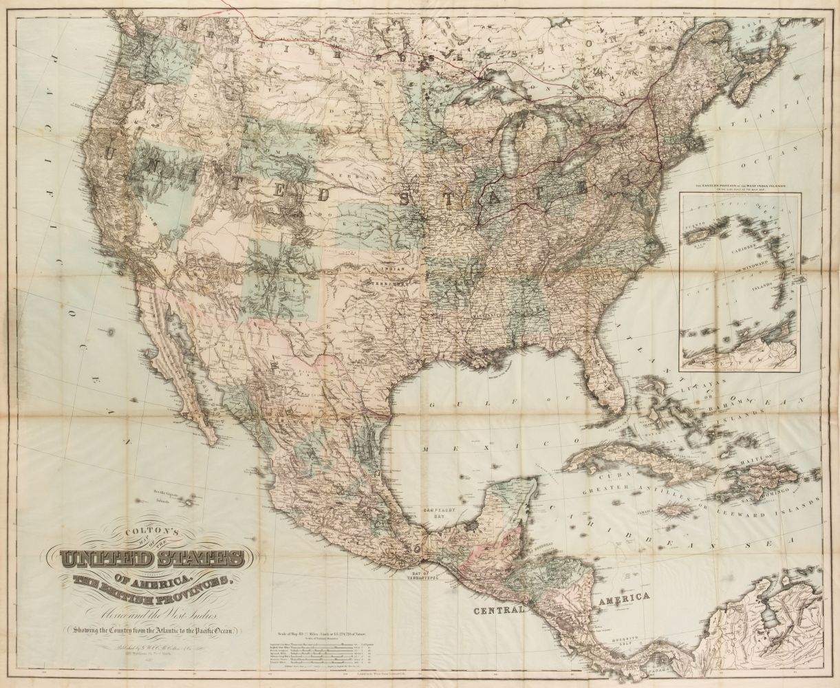
Title: Colton's Map of the United States including Canada and a large portion of Texas. Showing the Base Meridian and Township Lines of the U.S. Surveys, the Lands allotted to the Indian Tribes west of the Mississippi. The Various Internal Improvements &c. Compiled from surveys at the United States Land Office, and various other authentic sources by J. Calvin Smith Author: Smith, John Calvin Place: New York Publisher: Published by J.H. Colton Date: 1852 Description: Engraved map, hand-colored. 142.5x184 cm (56¼x72¼") plus wide decorative border containing 18 engraved views; backed with linen & sectioned for folding, loose in original cloth folder rebacked with leather, 36.5x29.5 cm (14¼x11½"). Massive map of the eastern U.S. venturing well into present Kansas, Nebraska, Texas, etc., with large inset "Map of North America" and smaller one of the southern part of Florida. The North America map has of course the border between the United States and Mexico in pre-Gadsden configuration, and there is indication of the Gold Region in California. The border vignettes include city views of New York, Baltimore, Philadelphia, Washington, etc., pastoral scenes, and more. Provenance: Sothebys NY, 4/25/89 Lot Amendments Condition: Some wear to map, scattered foxing and browning; very good. Item number: 271837
Title: Colton's Map of the United States including Canada and a large portion of Texas. Showing the Base Meridian and Township Lines of the U.S. Surveys, the Lands allotted to the Indian Tribes west of the Mississippi. The Various Internal Improvements &c. Compiled from surveys at the United States Land Office, and various other authentic sources by J. Calvin Smith Author: Smith, John Calvin Place: New York Publisher: Published by J.H. Colton Date: 1852 Description: Engraved map, hand-colored. 142.5x184 cm (56¼x72¼") plus wide decorative border containing 18 engraved views; backed with linen & sectioned for folding, loose in original cloth folder rebacked with leather, 36.5x29.5 cm (14¼x11½"). Massive map of the eastern U.S. venturing well into present Kansas, Nebraska, Texas, etc., with large inset "Map of North America" and smaller one of the southern part of Florida. The North America map has of course the border between the United States and Mexico in pre-Gadsden configuration, and there is indication of the Gold Region in California. The border vignettes include city views of New York, Baltimore, Philadelphia, Washington, etc., pastoral scenes, and more. Provenance: Sothebys NY, 4/25/89 Lot Amendments Condition: Some wear to map, scattered foxing and browning; very good. Item number: 271837


Try LotSearch and its premium features for 7 days - without any costs!
Be notified automatically about new items in upcoming auctions.
Create an alert