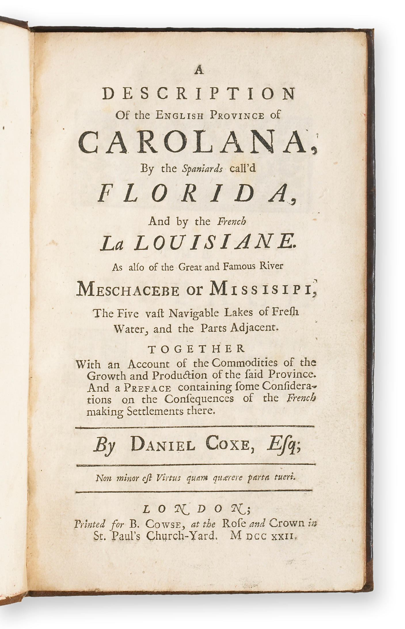
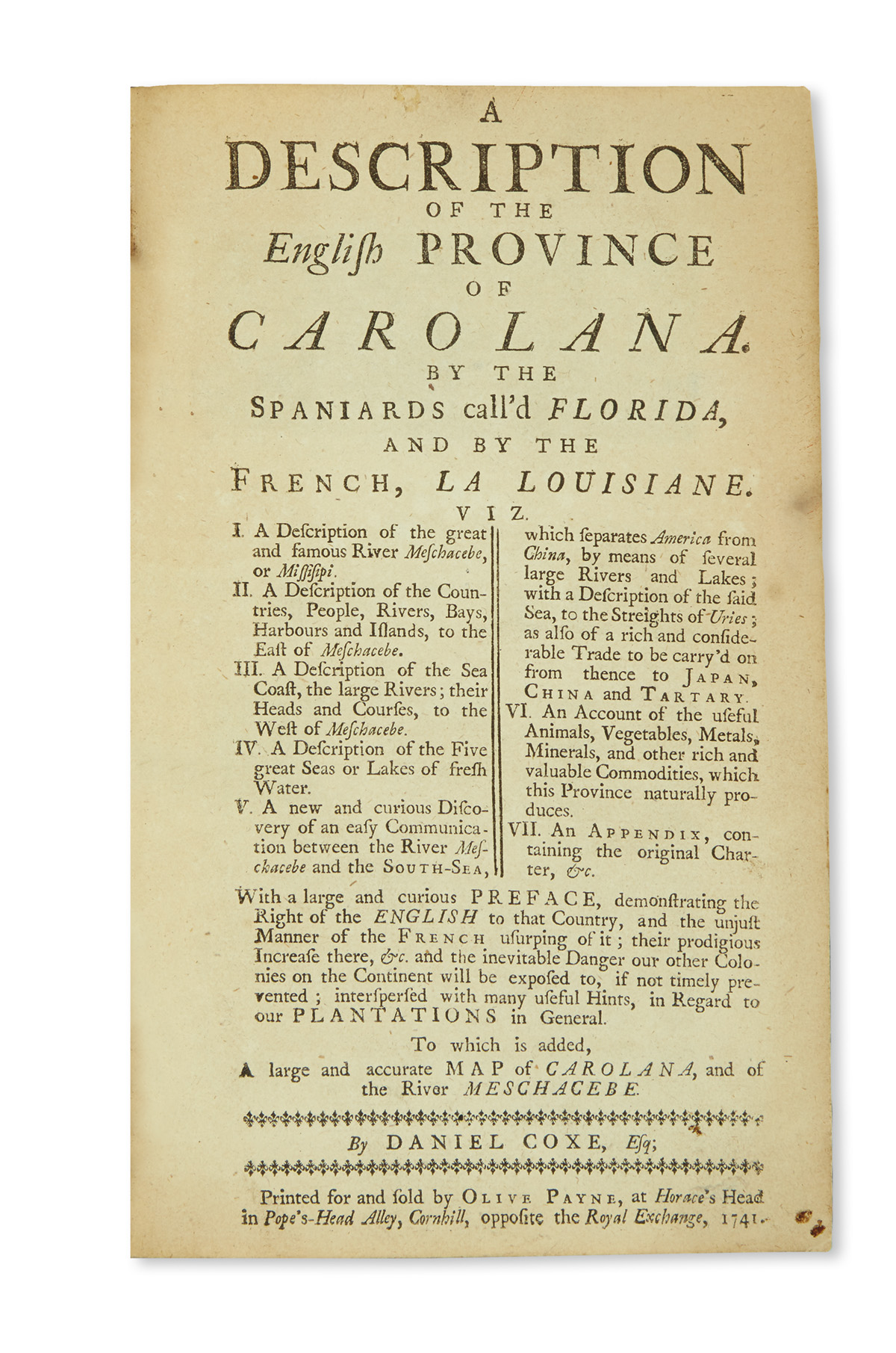
COXE, Daniel (1673-1739). A Description of the English Province of Carolana, by the Spaniards call'd Florida, and by the French Louisiane. Also of the Great and Famous River Meschacebe or Missisipi . London: Oliver Payne, 1741.
COXE, Daniel (1673-1739). A Description of the English Province of Carolana, by the Spaniards call'd Florida, and by the French Louisiane. Also of the Great and Famous River Meschacebe or Missisipi . London: Oliver Payne, 1741. 8 o (191 x 117 mm). Large engraved folding map (432 x 531 mm) "A Map of the Carolana and of the River Meschacebe" (old repaired tear on verso). (Title trimmed closely not affecting text.) 19th-century diced Russia gilt (skillfully rebacked). Fourth edition, apparently made up of sheets of the third edition of 1727 (the first edition was of 1722). THE FIRST BRITISH EXPLORATION OF THE MISSISSIPPI VALLEY AND THE FIRST ENGLISH ACCOUNT OF LOUISIANA. "A compilation from various journals to impress the public with the great importance of the regions described, and to make them jealous of its occupation by the French. Under the name of Carolana was comprehended the present State of Georgia, the Floridas, Alabama, Mississippi, and Louisiana. The whole of the territory was claimed by Dr. Coxe, the father of the author, as proprietor under the Crown. The author explored the great part of it, and lived there fourteen years" (Sabin). SCARCE WITH THE ORIGINAL MAP: according to American Book Prices Current , of the eight copies sold in the last thirty years, only two have contained the original map, and those with damage. The present example is fine and fresh. Alden & Landis 741/48; Cumming 190 (first edition, "set[s] forth what is believed to be the first printed plan for a political confederation of the North American colonies... this is one of the very few maps to have 'Carolana' on them"); Field 378; Howes C-826; Sabin 17281; Stevens Nuggets 781; Vail 409.


Try LotSearch and its premium features for 7 days - without any costs!
Be notified automatically about new items in upcoming auctions.
Create an alert