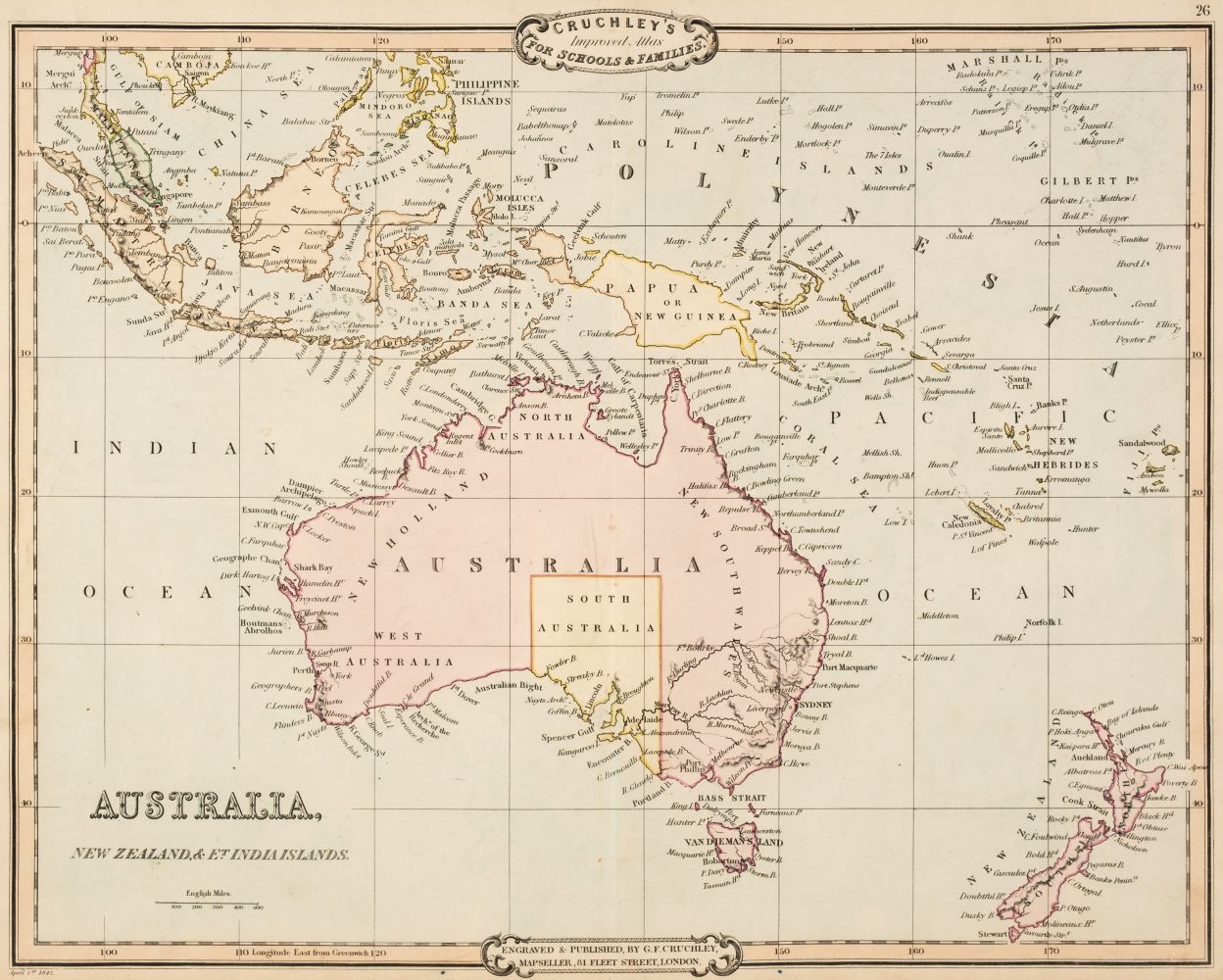
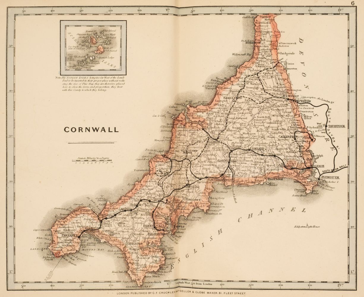
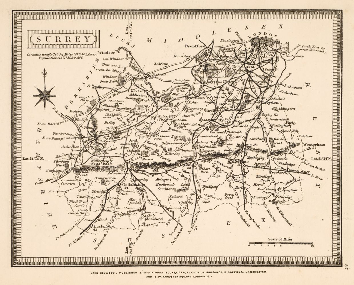
Cruchley's County Atlas of England & Wales shewing all the Railways & Stations..., [1868], calligraphic title page and index, general map of England and Wales and forty-six (complete) uncoloured lithographic double page county maps, slight spotting, slight fraying to margins, publisher's printed paper wrappers, frayed and torn with slight loss, spine crudely repaired with tape, 8vo, together with Brabner (J. H. F., editor), The Comprehensive Gazetteer of England and Wales, circa 1895, folding map of England & Wales and fifty-five double page lithographic maps, all edges gilt, contemporay half calf gilt, large 8vo, with Stanford (Edward, publisher), Stanford's Parliamentary County Atlas..., 1885, title and half title with ink library stamp, eighty-nine colour lithographic maps, most with library stamps to verso of maps, later endpapers, 20th century quarter morocco gilt, 8vo, with another four late 19th century gazetteers and geological atlases, various size and condition (7)
Cruchley's County Atlas of England & Wales shewing all the Railways & Stations..., [1868], calligraphic title page and index, general map of England and Wales and forty-six (complete) uncoloured lithographic double page county maps, slight spotting, slight fraying to margins, publisher's printed paper wrappers, frayed and torn with slight loss, spine crudely repaired with tape, 8vo, together with Brabner (J. H. F., editor), The Comprehensive Gazetteer of England and Wales, circa 1895, folding map of England & Wales and fifty-five double page lithographic maps, all edges gilt, contemporay half calf gilt, large 8vo, with Stanford (Edward, publisher), Stanford's Parliamentary County Atlas..., 1885, title and half title with ink library stamp, eighty-nine colour lithographic maps, most with library stamps to verso of maps, later endpapers, 20th century quarter morocco gilt, 8vo, with another four late 19th century gazetteers and geological atlases, various size and condition (7)


.jpg)
.jpg)


Try LotSearch and its premium features for 7 days - without any costs!
Be notified automatically about new items in upcoming auctions.
Create an alert