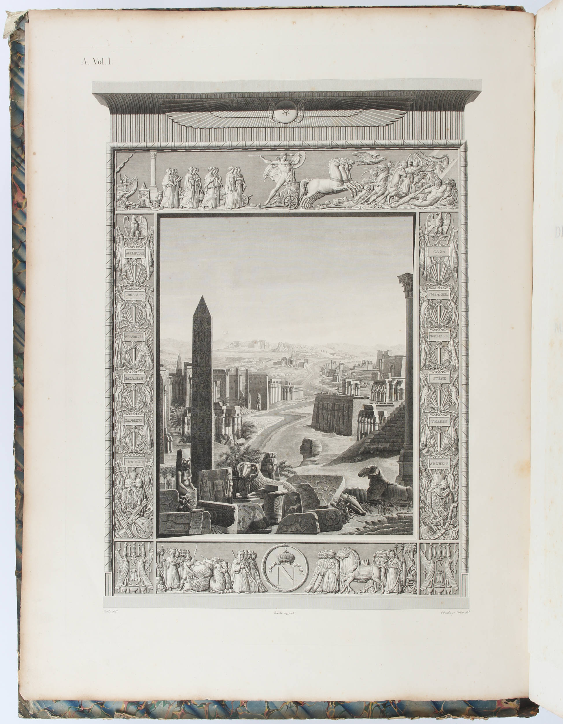
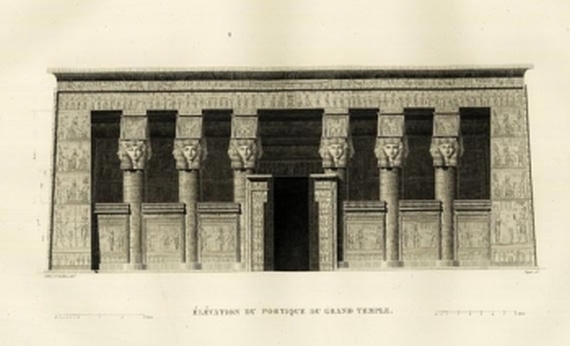
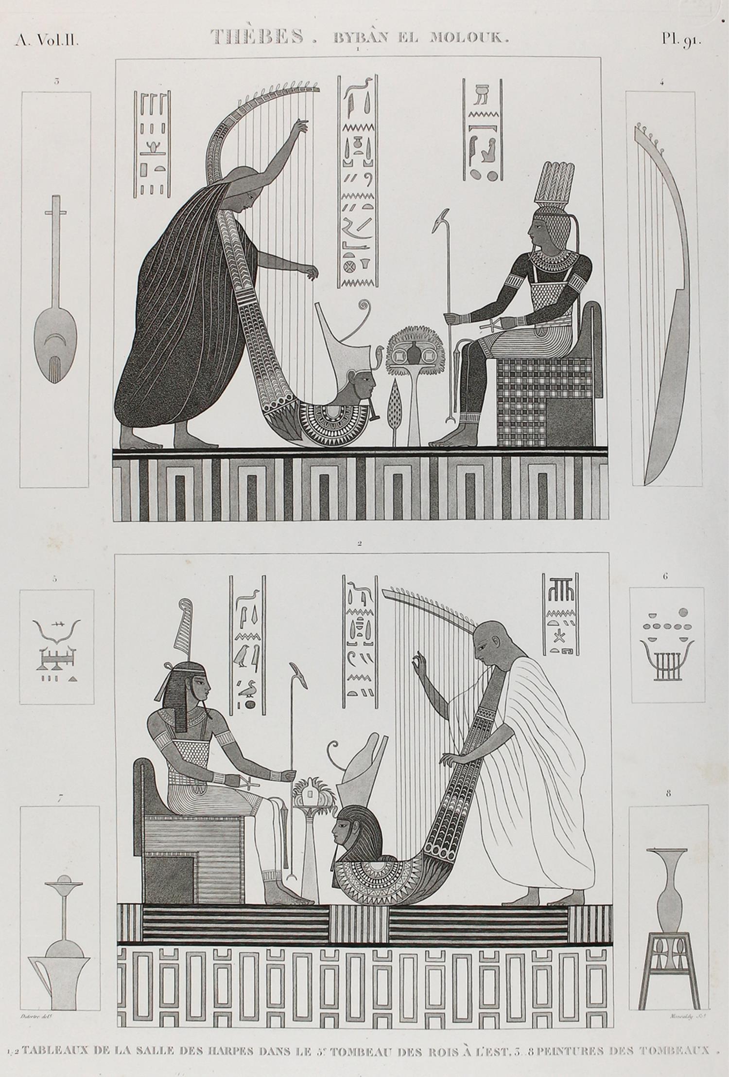
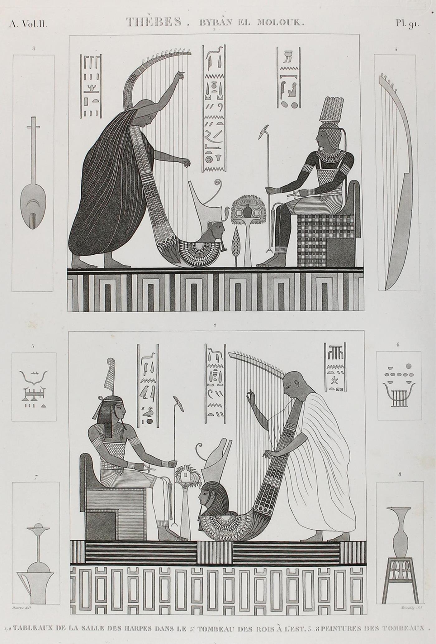
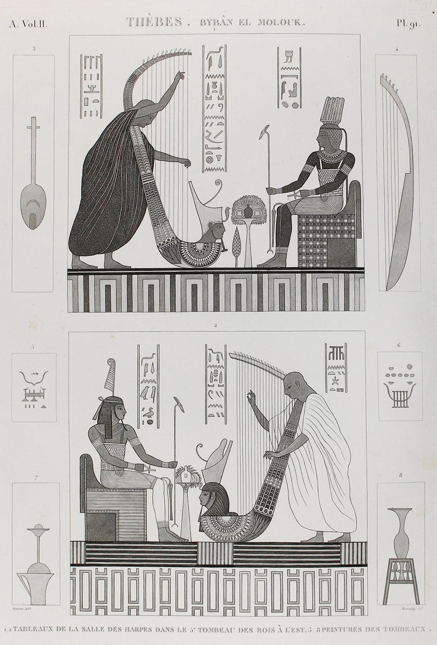
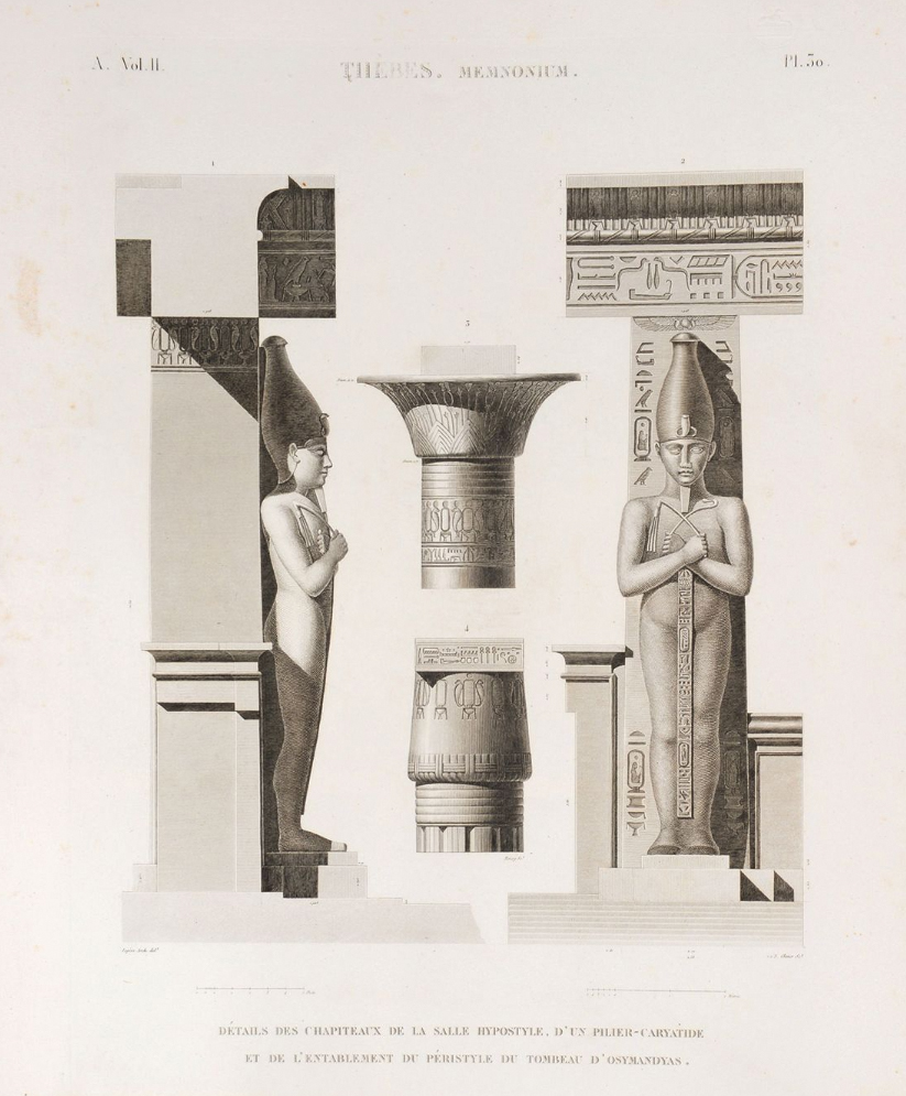
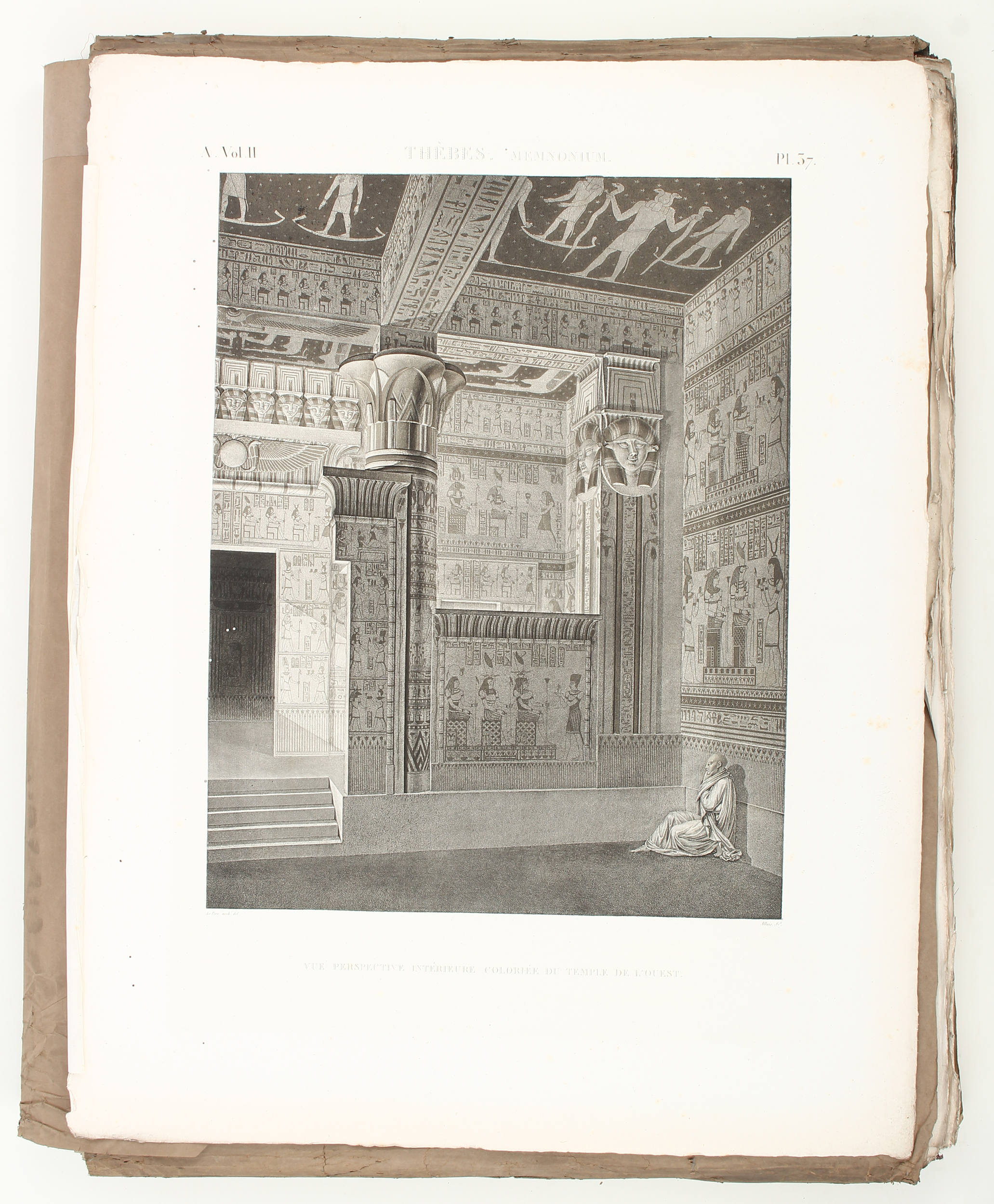
Ägypten Description de l'Egypte. Atlasband: Carte topographique de l'Egypte et de plusieurs parties des pays limitrophes, levée pendant l'expédition de l'armée Francaise. Par les ingénieurs-géographes .. construite par P. Jacotin. Paris, C. L. F. Panckoucke 1826. Atlasband zu der monumentalen Publikation mit den wissenschaftlichen Ergebnissen der Ägyptenexpedition, eines der bedeutendsten Werke der französischen Kartographie. "Die Zählung der Merdiane beruht hier auf einem Nullmeridian, der durch die große Pyramide von Gizeh gelegt worden ist. Trotz etlicher Ungenauigkeiten .. bildet dieses topographische Werk von 1826 bis 1890 die einzige großmaßstäbige Kartenaufnahme des gesamten bewohnten Ägypten" (LGK I, 7f.) EINBAND: Halblederband der Zeit mit Rückenschild. 70 : 57 cm. - ILLUSTRATION: Mit doppelblattgroßem gestochenen Titel, 1 gestochenen Tabelle und 52 Kupferkarten (44 doppelblattgroß). - KOLLATION: 1 Bl. (Reihentitel). - ZUSTAND: Vereinz. etw. fleckig, 1 Bl. mit restaur. Randeinriß. Insgesamt schönes Exemplar. LITERATUR: Blackmer 476. Atlas volume of the great scientific publication on Egypt. With doublepage engr. title, 1 engr. table and 52 copperplates (44 doublepage). Contemp. half calf with labels on spine. - Here and there some staining, 1 leaf with restored marginal tear. Fine copy.
Ägypten Description de l'Egypte. Atlasband: Carte topographique de l'Egypte et de plusieurs parties des pays limitrophes, levée pendant l'expédition de l'armée Francaise. Par les ingénieurs-géographes .. construite par P. Jacotin. Paris, C. L. F. Panckoucke 1826. Atlasband zu der monumentalen Publikation mit den wissenschaftlichen Ergebnissen der Ägyptenexpedition, eines der bedeutendsten Werke der französischen Kartographie. "Die Zählung der Merdiane beruht hier auf einem Nullmeridian, der durch die große Pyramide von Gizeh gelegt worden ist. Trotz etlicher Ungenauigkeiten .. bildet dieses topographische Werk von 1826 bis 1890 die einzige großmaßstäbige Kartenaufnahme des gesamten bewohnten Ägypten" (LGK I, 7f.) EINBAND: Halblederband der Zeit mit Rückenschild. 70 : 57 cm. - ILLUSTRATION: Mit doppelblattgroßem gestochenen Titel, 1 gestochenen Tabelle und 52 Kupferkarten (44 doppelblattgroß). - KOLLATION: 1 Bl. (Reihentitel). - ZUSTAND: Vereinz. etw. fleckig, 1 Bl. mit restaur. Randeinriß. Insgesamt schönes Exemplar. LITERATUR: Blackmer 476. Atlas volume of the great scientific publication on Egypt. With doublepage engr. title, 1 engr. table and 52 copperplates (44 doublepage). Contemp. half calf with labels on spine. - Here and there some staining, 1 leaf with restored marginal tear. Fine copy.



.jpg)
.jpg)
Try LotSearch and its premium features for 7 days - without any costs!
Be notified automatically about new items in upcoming auctions.
Create an alert