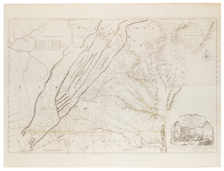
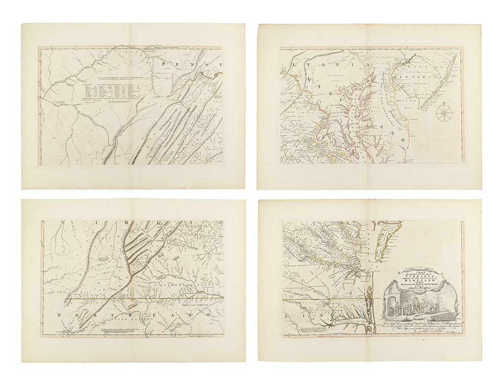
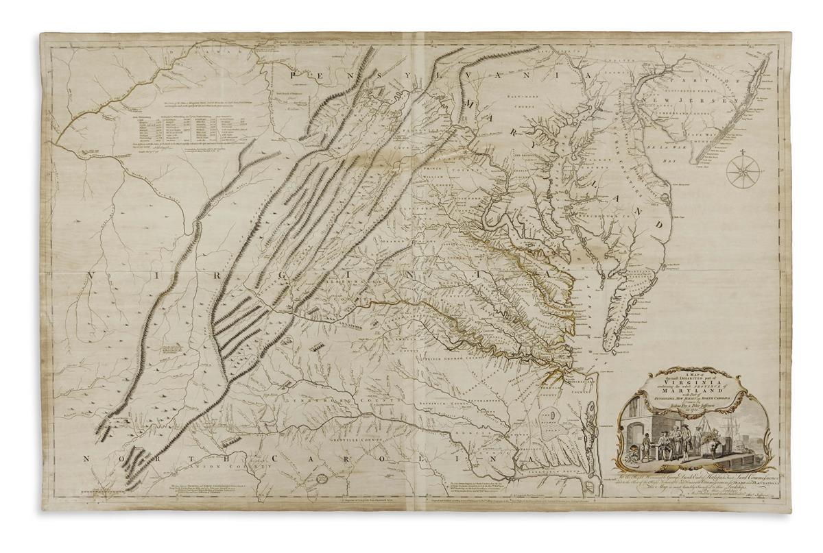
A Map of the Most Inhabited Part of Virginia containing the Whole Province of Maryland with Part of Pensilvania, New Jersey and North Carolina. London: for Robert Sayer & Thomas Jeffreys, 1775. Hand-colored copper-engraved map in four sheets, each divided into six sections and mounted to linen, slipcase. 1240 x 780 mm. A few areas of toning, a few stray marks, but generally a clean, well-preserved example. Sixth state of the most important 18th century map of Virginia, the first three of which are virtually unobtainable, the rest of which are rarely seen. Drawn by Joshua Fry, a mathematician at the College of William and Mary, and Peter Jefferson, a surveyer (and father of Thomas Jefferson , this map is the first to accurately depict the Appalachian Mountains and included the colonial road system and a number of plantations listed by family name. Thomas Jefferson in his autobiography, stated that this was the "first map of Virginia which has ever been made, that of Captain Smith being merely a conjectural sketch" (Tooley Mapping of America 87). See illustration.
A Map of the Most Inhabited Part of Virginia containing the Whole Province of Maryland with Part of Pensilvania, New Jersey and North Carolina. London: for Robert Sayer & Thomas Jeffreys, 1775. Hand-colored copper-engraved map in four sheets, each divided into six sections and mounted to linen, slipcase. 1240 x 780 mm. A few areas of toning, a few stray marks, but generally a clean, well-preserved example. Sixth state of the most important 18th century map of Virginia, the first three of which are virtually unobtainable, the rest of which are rarely seen. Drawn by Joshua Fry, a mathematician at the College of William and Mary, and Peter Jefferson, a surveyer (and father of Thomas Jefferson , this map is the first to accurately depict the Appalachian Mountains and included the colonial road system and a number of plantations listed by family name. Thomas Jefferson in his autobiography, stated that this was the "first map of Virginia which has ever been made, that of Captain Smith being merely a conjectural sketch" (Tooley Mapping of America 87). See illustration.


.jpg)


Try LotSearch and its premium features for 7 days - without any costs!
Be notified automatically about new items in upcoming auctions.
Create an alert