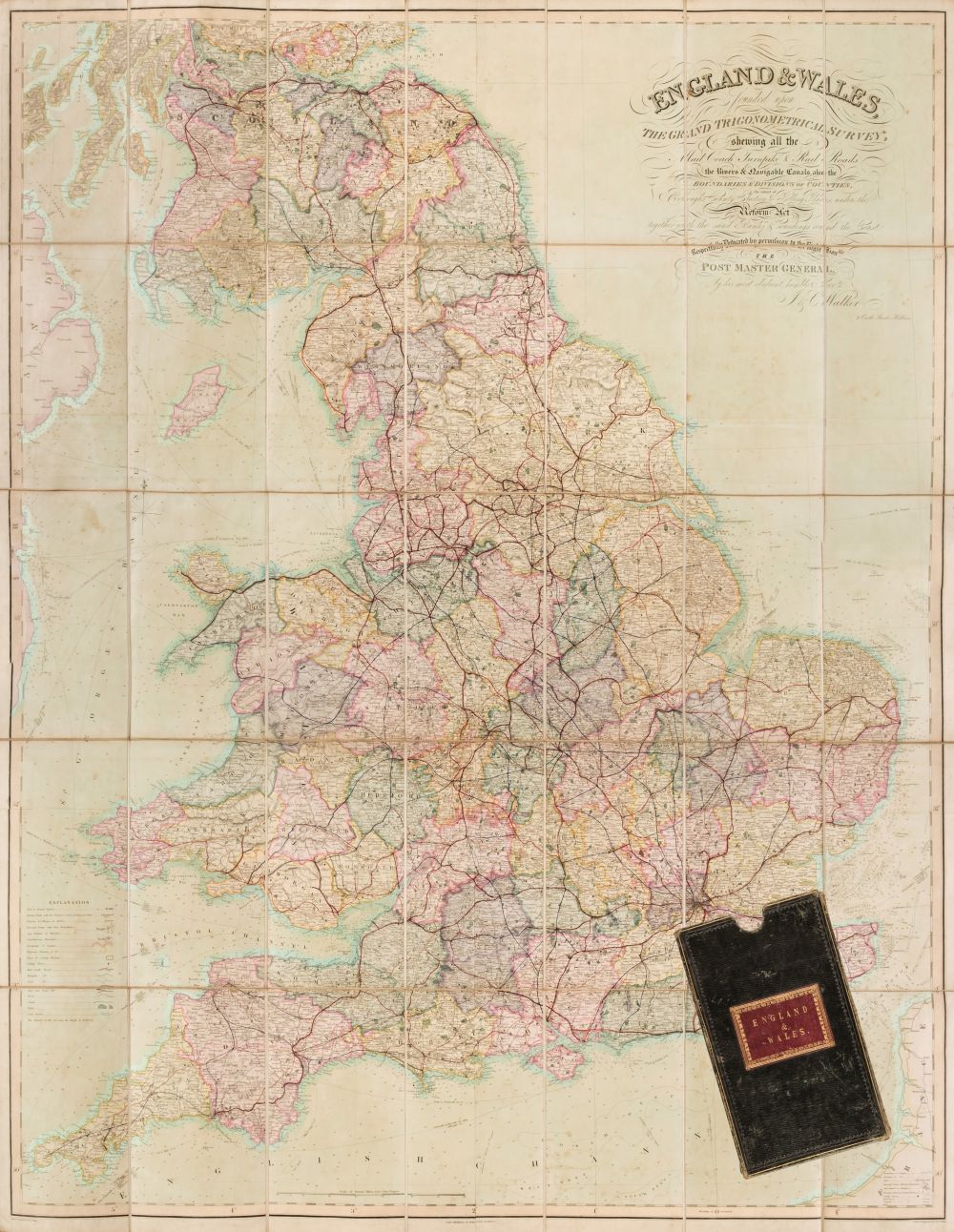
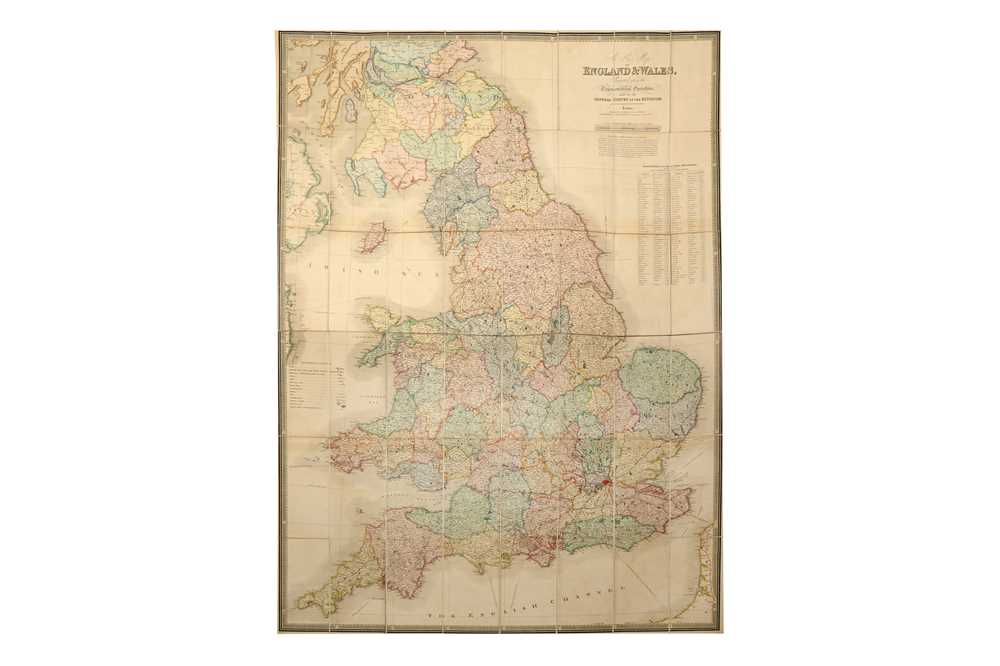
Hall (Sidney), Leigh's New road map of England, Wales and Scotland, drawn from the most recent surveys..., published M. A. Leigh, circa 1835, engraved map with contemporary hand colouring, sectionalised and laid on linen, on two sheets, inset map of Scotland, crude additional outline colouring highlighting a few roads, slight staining, a few short splits along old folds, each sheet approximately 500 x 750 mm, decorative printed endpapers, one with later manuscript presentation inscription, bound in later green morocco 'envelope style' binding, together with Wallis (J. & E.), Wallis's New Travelling Map of England & Wales and Part of Scotland..., 1815, engraved map with contemporary hand colouring, sectionalised and laid on linen, 620 x 490 mm, contained in a contemporary marbled card slipcase with printed label to upper board, worn and rubbed, with Bowen (Emanuel), An Accurate Map of Buckinghamshire divided into its Hundreds..., published Robert Sayer Robert Wilkinson & Carington Bowles [1785], engraved map with contemporary outline colouring, sectionalised and laid on linen, some staining, 705 x 540 mm, contained in a contemporary marbled slipcase with printed labels to both boards, one side of slipcase split, worn and rubbed, with another five maps similar (8)
Hall (Sidney), Leigh's New road map of England, Wales and Scotland, drawn from the most recent surveys..., published M. A. Leigh, circa 1835, engraved map with contemporary hand colouring, sectionalised and laid on linen, on two sheets, inset map of Scotland, crude additional outline colouring highlighting a few roads, slight staining, a few short splits along old folds, each sheet approximately 500 x 750 mm, decorative printed endpapers, one with later manuscript presentation inscription, bound in later green morocco 'envelope style' binding, together with Wallis (J. & E.), Wallis's New Travelling Map of England & Wales and Part of Scotland..., 1815, engraved map with contemporary hand colouring, sectionalised and laid on linen, 620 x 490 mm, contained in a contemporary marbled card slipcase with printed label to upper board, worn and rubbed, with Bowen (Emanuel), An Accurate Map of Buckinghamshire divided into its Hundreds..., published Robert Sayer Robert Wilkinson & Carington Bowles [1785], engraved map with contemporary outline colouring, sectionalised and laid on linen, some staining, 705 x 540 mm, contained in a contemporary marbled slipcase with printed labels to both boards, one side of slipcase split, worn and rubbed, with another five maps similar (8)






Try LotSearch and its premium features for 7 days - without any costs!
Be notified automatically about new items in upcoming auctions.
Create an alert