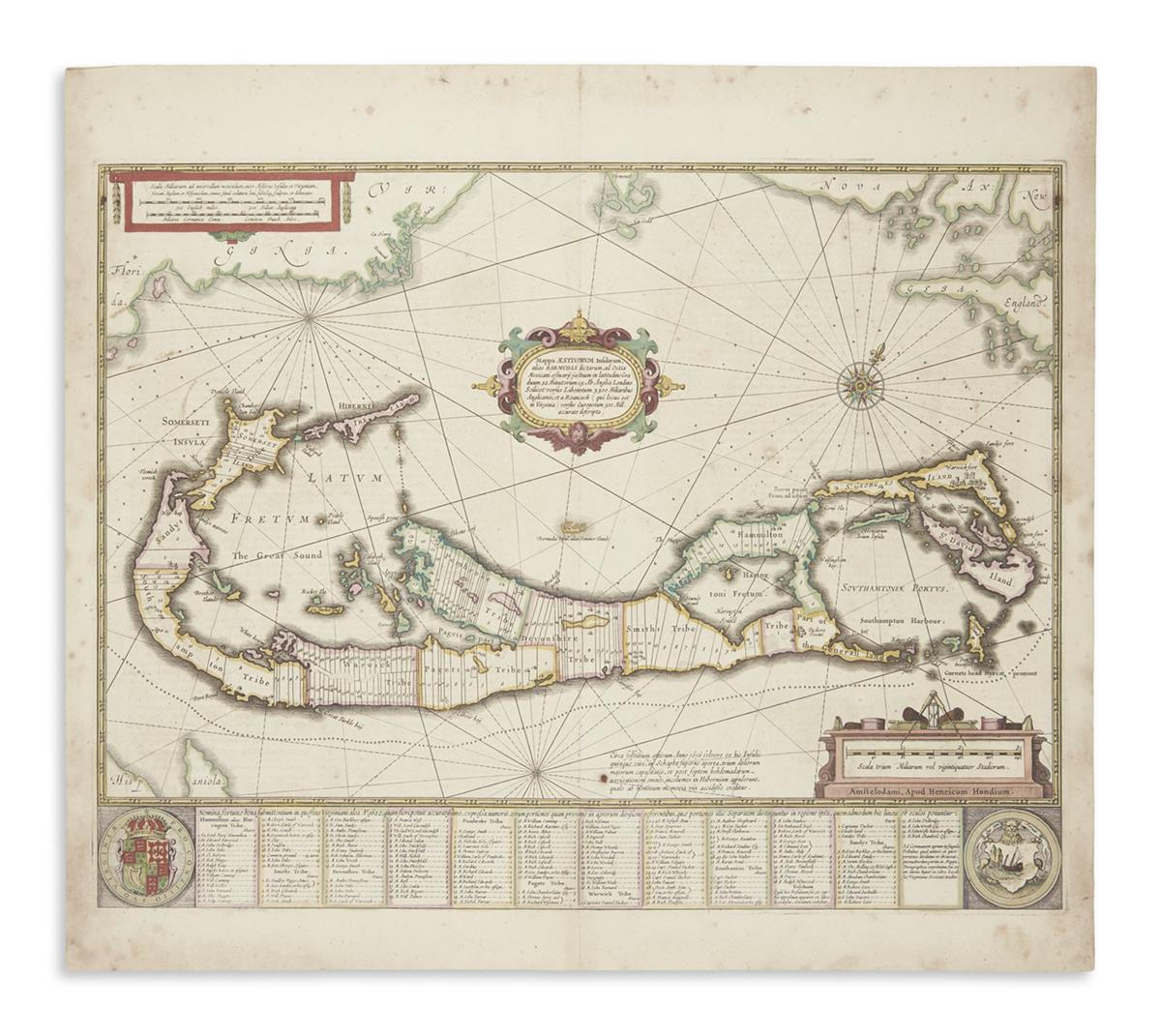
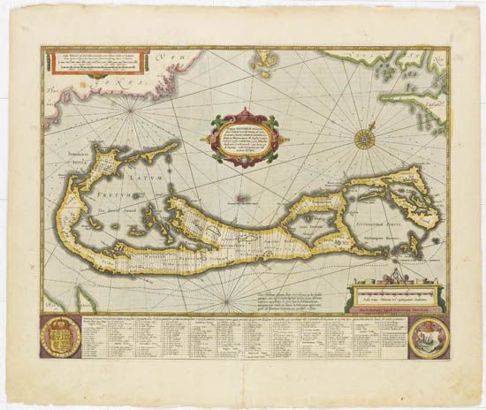
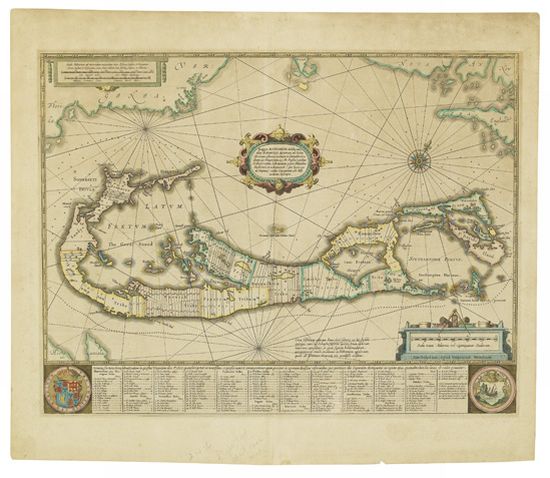
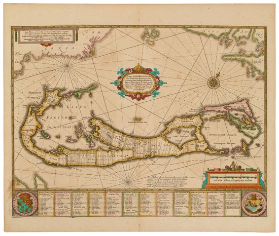
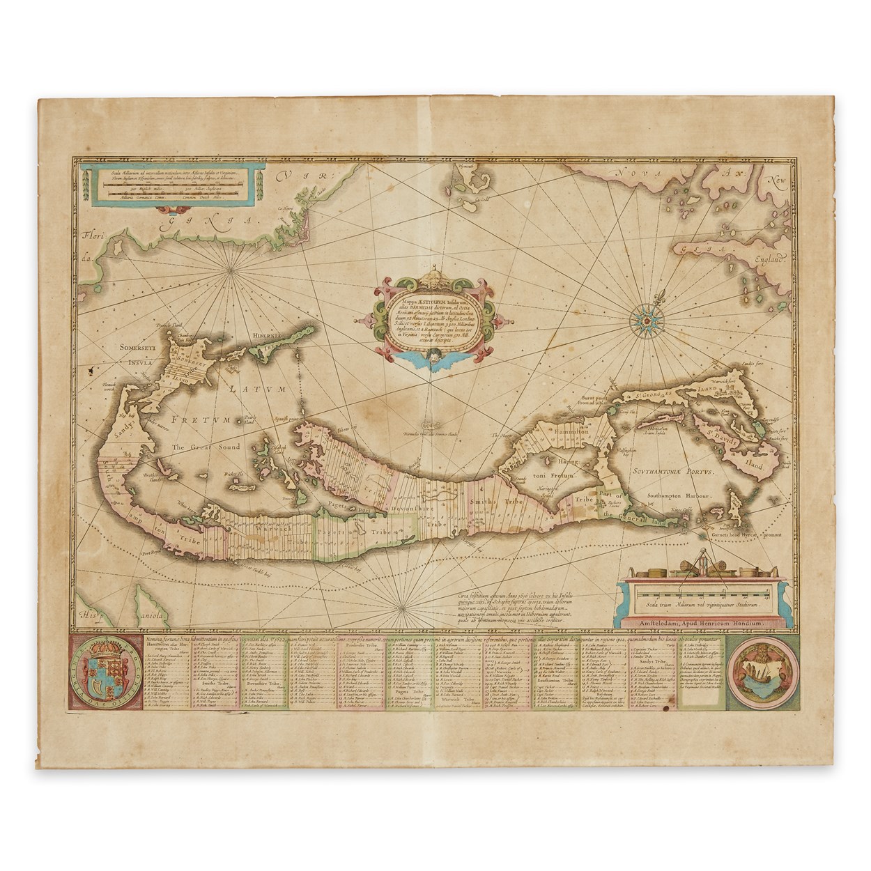
HONDIUS, Henricus (1597-1651). Mappa Aestivarum Insularum, alias Barmudas. Amsterdam, [ca. 1633].
HONDIUS, Henricus (1597-1651). Mappa Aestivarum Insularum, alias Barmudas. Amsterdam, [ca. 1633]. Engraved map of Bermuda, with contemporary outline coloring, image 396 x 521 mm (sheet 511 x 600 mm sheet). Three cartouches, two crests, compass roses, fleur-de-lys pointer and rhumb lines, French text on verso. (A few short marginal tears to lower margin, some light browning to edges.) A fine example of Hondius map of Bermuda based on Richard Norwood's 1618 map. The engraving actually includes two maps of Bermuda: besides the large depiction of Bermuda, is another small depiction of Bermuda ("Bermudas Insul, alias Sommer Island") in the center of the map. It relates in scale to the upper border of the map showing Cape Cod, Nova Scotia and Virginia. (Roanoke, Cape Henry and Cape Charles). Palmer p.22.



Try LotSearch and its premium features for 7 days - without any costs!
Be notified automatically about new items in upcoming auctions.
Create an alert