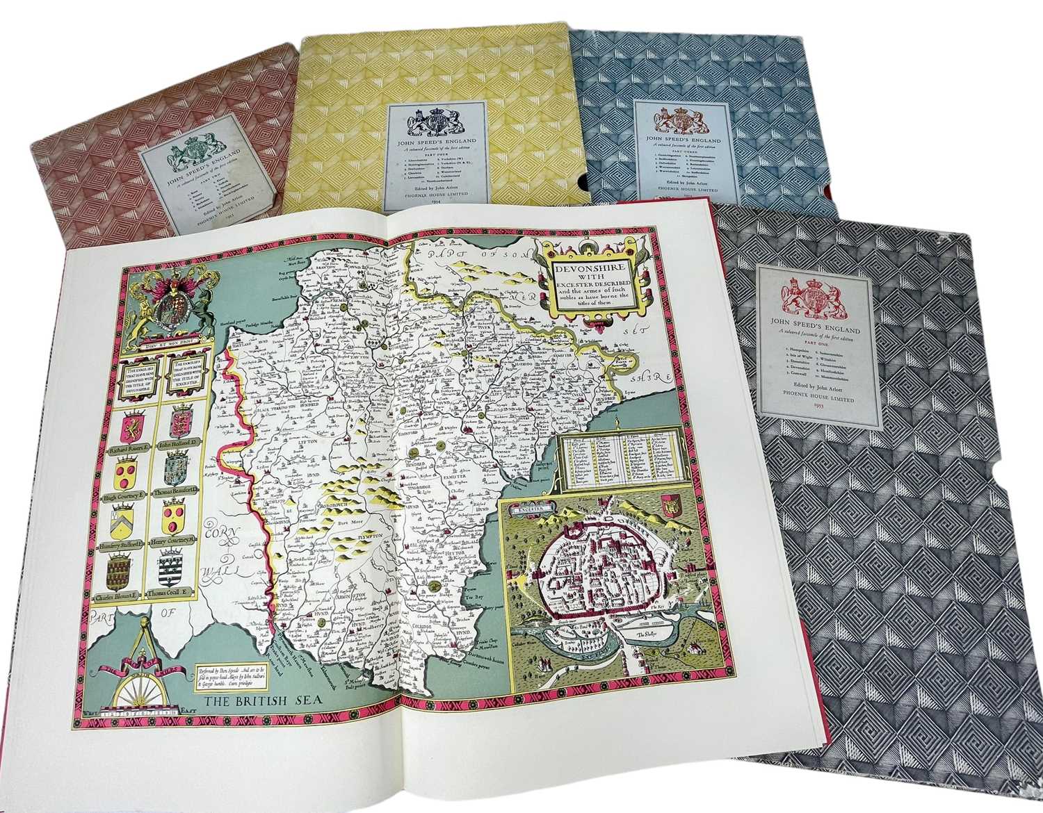
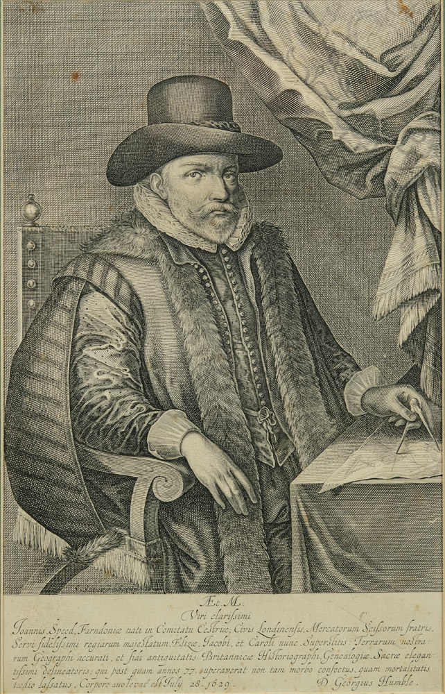
John Speed (British, 1552-1629) A Newe Mape of Tartary, augmented by John Speede annotated 1626 engraved map with hand colouring 39.0 x 51.0cm (15 3/8 x 20 1/16in). Fußnoten A map of Russia, with a decorative border showing the native costumes of different regions and views of principal cities. One of the cartouches at the top shows the house built on Nova Zembla by the crew of Willem Barentsz's 1596 expedition, when they were stranded there after being stuck in pack ice. The crew spent the winter on the ice, trapping Arctic foxes for food and sleeping with warmed cannonballs to survive. One of their encounters with polar bears is shown in the vignette. John Speed (1552-1629) was the outstanding cartographer of his age. His 'Theatre of Great Britain', first published in 1611 or 1612, was the first atlas of Great Britain: Speed prepared the maps himself about two years before they were published. This map is from the 'Prospect of the Most Famous Parts of the World', produced in collaboration with Speed to accompany the 'Theatre' and published in a joint edition by George Humble in 1631. Many of the maps were anglicized versions of works by Dutch makers, who introduced the carte-à-figure style, with borders of figures in local costume and city views. English text on verso provides a 17th century description of the region.
John Speed (British, 1552-1629) A Newe Mape of Tartary, augmented by John Speede annotated 1626 engraved map with hand colouring 39.0 x 51.0cm (15 3/8 x 20 1/16in). Fußnoten A map of Russia, with a decorative border showing the native costumes of different regions and views of principal cities. One of the cartouches at the top shows the house built on Nova Zembla by the crew of Willem Barentsz's 1596 expedition, when they were stranded there after being stuck in pack ice. The crew spent the winter on the ice, trapping Arctic foxes for food and sleeping with warmed cannonballs to survive. One of their encounters with polar bears is shown in the vignette. John Speed (1552-1629) was the outstanding cartographer of his age. His 'Theatre of Great Britain', first published in 1611 or 1612, was the first atlas of Great Britain: Speed prepared the maps himself about two years before they were published. This map is from the 'Prospect of the Most Famous Parts of the World', produced in collaboration with Speed to accompany the 'Theatre' and published in a joint edition by George Humble in 1631. Many of the maps were anglicized versions of works by Dutch makers, who introduced the carte-à-figure style, with borders of figures in local costume and city views. English text on verso provides a 17th century description of the region.


Try LotSearch and its premium features for 7 days - without any costs!
Be notified automatically about new items in upcoming auctions.
Create an alert