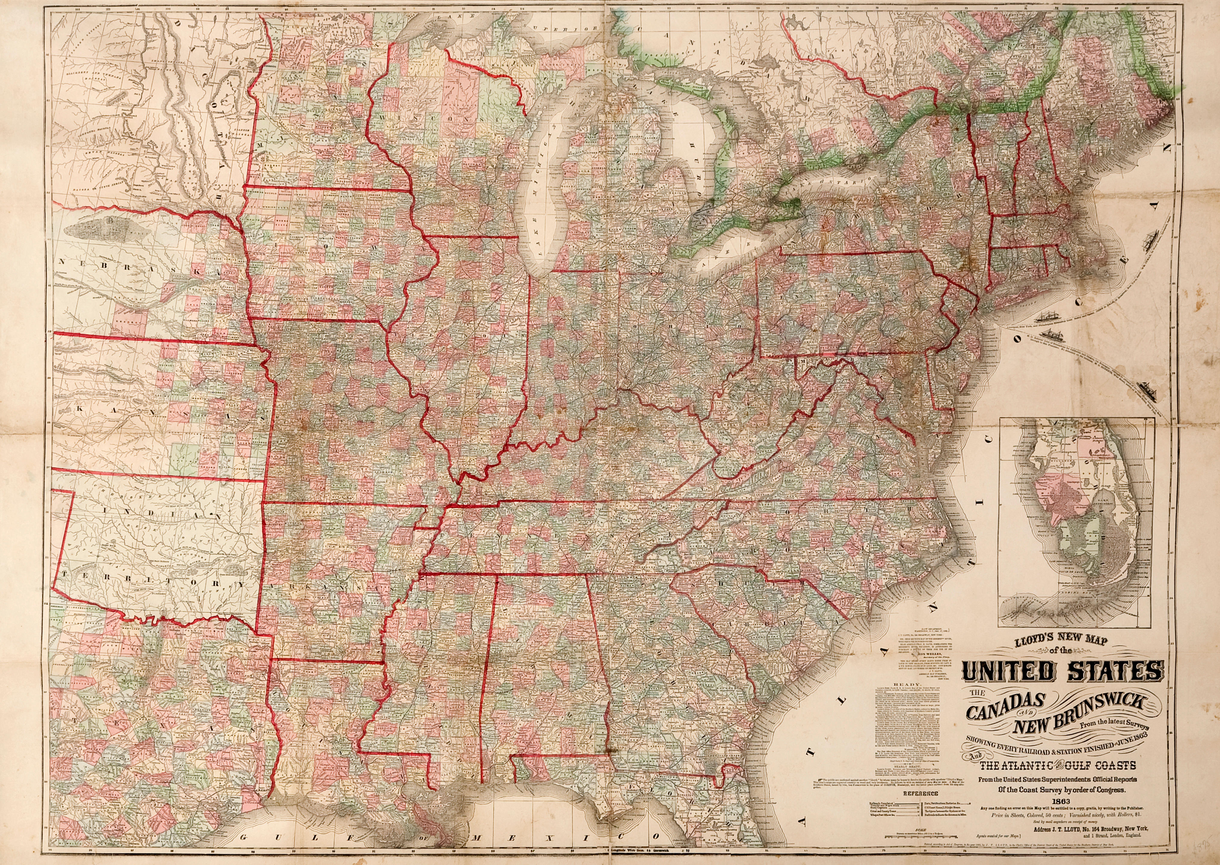
Title: Lloyd's New Map of the United States, the Canadas and New Brunswick from the Latest Surveys Showing Every Railroad & Station Finished to June 1863 and the Atlantic and Gulf Coasts Author: Lloyd, James T. Place: New York Publisher: Date: 1863 Description: Lithographed map, hand-colored. 95x125 cm (37½x49¼"), folded. Large Civil War era map covering the United States west to the Dakotas, Nebraska, Kansas, Indian Territory and East Texas, colored to reflect wartime events and the progress, or lack thereof, being made by Union forces, such as "Territory lost since the removal of Gen, McClellan and the issuing of the Emancipation Proclamation." It is very detailed and filled with information including state and county boundaries, state capitals, wagon roads, turnpikes, railroads, forts, post offices, court houses, and light houses. The wall map version of this map is the one generally found today and it is very rare to find this large map (printed on standard paper and issued folded) in relatively undamaged condition. Lot Amendments Condition: Some short splits at folds, and a few instances of minor loss, some stains around and on the coast of New Jersey, other minor wear, very good. Item number: 287743
Title: Lloyd's New Map of the United States, the Canadas and New Brunswick from the Latest Surveys Showing Every Railroad & Station Finished to June 1863 and the Atlantic and Gulf Coasts Author: Lloyd, James T. Place: New York Publisher: Date: 1863 Description: Lithographed map, hand-colored. 95x125 cm (37½x49¼"), folded. Large Civil War era map covering the United States west to the Dakotas, Nebraska, Kansas, Indian Territory and East Texas, colored to reflect wartime events and the progress, or lack thereof, being made by Union forces, such as "Territory lost since the removal of Gen, McClellan and the issuing of the Emancipation Proclamation." It is very detailed and filled with information including state and county boundaries, state capitals, wagon roads, turnpikes, railroads, forts, post offices, court houses, and light houses. The wall map version of this map is the one generally found today and it is very rare to find this large map (printed on standard paper and issued folded) in relatively undamaged condition. Lot Amendments Condition: Some short splits at folds, and a few instances of minor loss, some stains around and on the coast of New Jersey, other minor wear, very good. Item number: 287743


Try LotSearch and its premium features for 7 days - without any costs!
Be notified automatically about new items in upcoming auctions.
Create an alert