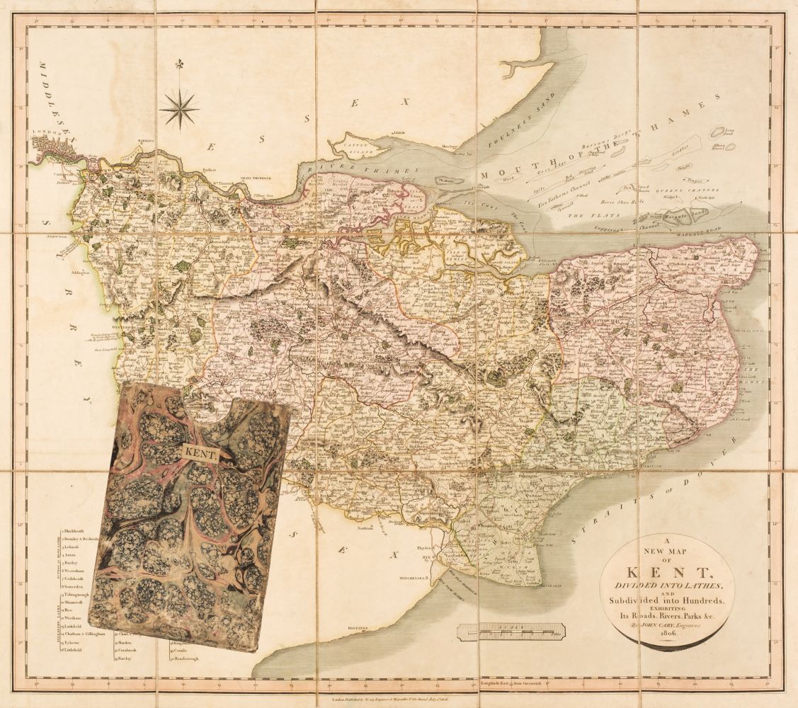
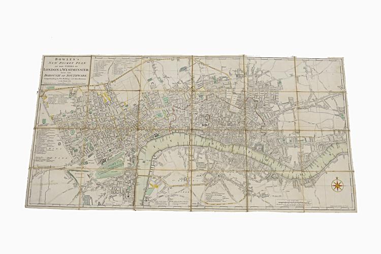
London. Carington Bowles (publisher). The London Guide or Pocket Plan of the Cities of London & Westminster and Borough of Southwark, with the new Buildings &c. to the present year [1766], uncoloured engraved map, old folds, slight staining, 270 x 580 mm, framed and glazed, together with Walker (J & C). A Plan of London and its Environs, Drawn and Engraved for Lewis's Topographical Dictionary, Jany. 1st 1834, uncoloured engraved map, old folds, one short repaired marginal closed tear, 390 x 475 mm, mounted, framed and glazed, with Cruchley (George Frederick). Cruchley's New Plan of London Shewing all the New and Intended Improvements to the Present Time, engraved map with contemporary outline colouring, sectionalised and laid on linen, some staining, 420 x 610 mm, mount and framed (lacking glass), plus Stanford (Edward, publisher). Plan Général de Londres, circa 1880, uncoloured engraved map, old folds, torn with slight loss, some marginal fraying, 660 x 825 mm, framed and glazed (Quantity: 4) James Howgego. Printed Maps of London. Number 141 state 1, number 330 state 1 [and] number 1827, state 10a.
London. Carington Bowles (publisher). The London Guide or Pocket Plan of the Cities of London & Westminster and Borough of Southwark, with the new Buildings &c. to the present year [1766], uncoloured engraved map, old folds, slight staining, 270 x 580 mm, framed and glazed, together with Walker (J & C). A Plan of London and its Environs, Drawn and Engraved for Lewis's Topographical Dictionary, Jany. 1st 1834, uncoloured engraved map, old folds, one short repaired marginal closed tear, 390 x 475 mm, mounted, framed and glazed, with Cruchley (George Frederick). Cruchley's New Plan of London Shewing all the New and Intended Improvements to the Present Time, engraved map with contemporary outline colouring, sectionalised and laid on linen, some staining, 420 x 610 mm, mount and framed (lacking glass), plus Stanford (Edward, publisher). Plan Général de Londres, circa 1880, uncoloured engraved map, old folds, torn with slight loss, some marginal fraying, 660 x 825 mm, framed and glazed (Quantity: 4) James Howgego. Printed Maps of London. Number 141 state 1, number 330 state 1 [and] number 1827, state 10a.


Try LotSearch and its premium features for 7 days - without any costs!
Be notified automatically about new items in upcoming auctions.
Create an alert