Carte du Gouvernemente de l'Amerique.
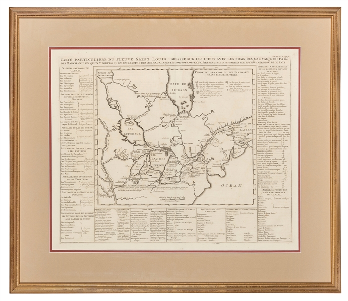
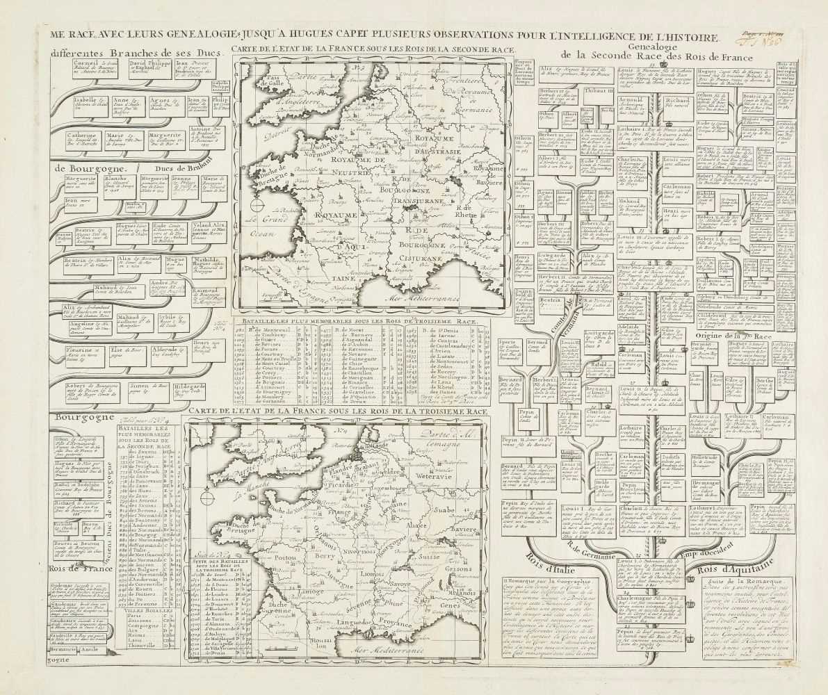
Amsterdam or Paris: c. 1720]. Double-page engraved map from Atlas Historique (530 x 447 mm). Condition : browning and spotting, occasional marginal tears, old water stain to lower left- and right-hand corners, blush of printer’s ink from prolonged contact with an adjacent sheet, fold reinforced on verso. This map showing North and South America depicts california as an island and the shore of a mysterious Antarctic continent is labeled “Terre Inconnue.” [With:] MANESSON-MALLET, Allain. 6 illustrated leaves from 5-volume Description de l’Universe , [Paris: Denys Thierry, 1683]. De la Sphere: Equateur [fig. VI, p. 15] ; De l’Amerique: Amerique Septentrionale [fig. CXVII, p. 171], Nouveau Continent ou Amerique [fig. CXVI, p. 269, a pair, with one hand-colored in red, blue, and yellow], Nouveau Mexique et Californie [fig. CXLVI, p. 333, showing California as an island]; du Globe Terrestre: Figure LXIX, p. 195] . Engraved maps with text on reverse (sheet sizes approximately 142 x 213 mm). Condition: some browning and spotting, some with rough left-hand edges at former binding. [And:] DELISLE. Nuova Carta del Polo Artico. [Venice: Girolamo Albrizzi, 1740].

.jpg)
.jpg?w=400)
.jpg?w=400)
.jpg)


Try LotSearch and its premium features for 7 days - without any costs!
Be notified automatically about new items in upcoming auctions.
Create an alert