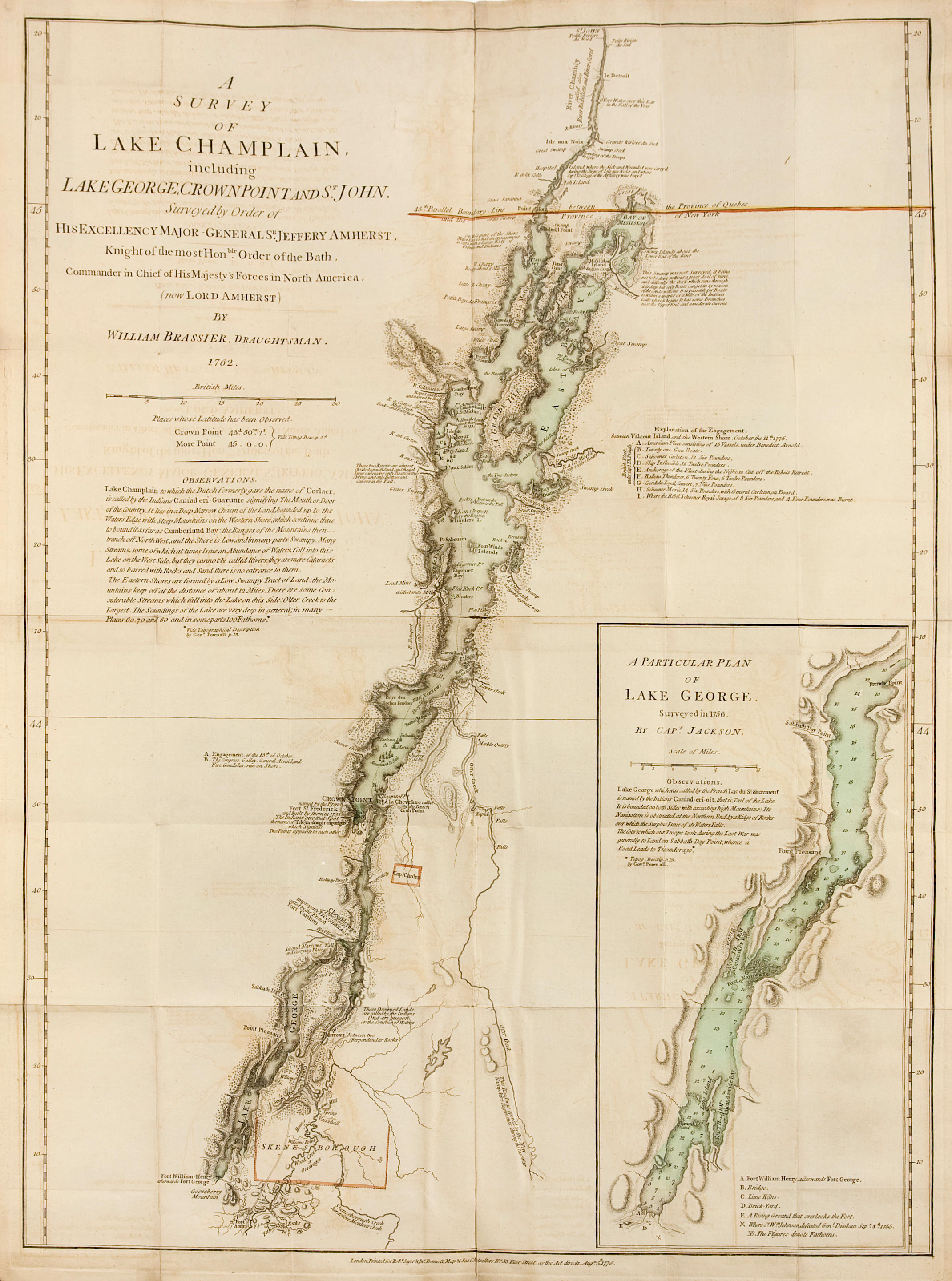
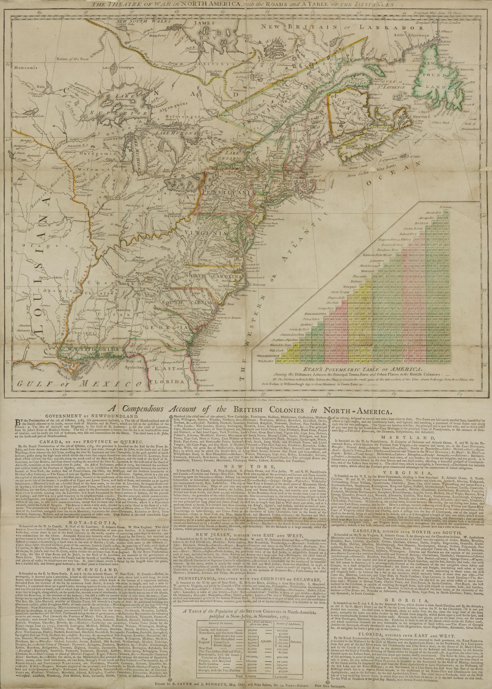
The American Military Pocket Atlas; being an Approved Collection of Correct Maps, both General and Particular, of the British Colonies. London: R. Sayer and J. Bennet, [1776]. [3], vi-viii, [2] pp. 6 folding engraved maps. 8vo (210 x 130 mm). Period quarter calf. A small amount of light foxing to maps, rubbed with joints cracking at ends. FIRST EDITION "HOLSTER ATLAS." Designed by its publishers for use on the field during the American Revolution, "to suit the pockets of officers of all ranks." In the event, this atlas was not normally carried in officers' pockets, but on their holsters and became popularly known as the "holster atlas." The maps are those "that the British high command regarded as providing essential topographical information in the most convenient form" (Schwartz & Ehrenberg), comprising: "North America," and "The West Indies" by Samuel Dunn; "The Northern British Colonies" by Samuel Holland and Thomas Pownall; "The Middle British Colonies" after Joshua Fry and Peter Jefferson, and Lewis Evans; "The Southern British Colonies" after William de Brahm, Henry Mouzon, John Collett, and Bernard Romans; and "Lake Champlain, including Lake George" by William Brassier. Howes A208; Sabin 1147; Schwartz & Ehrenberg p 190; Streeter sale 73. Acquisition: purchased from William Reese Company, 1998, $11,000.
The American Military Pocket Atlas; being an Approved Collection of Correct Maps, both General and Particular, of the British Colonies. London: R. Sayer and J. Bennet, [1776]. [3], vi-viii, [2] pp. 6 folding engraved maps. 8vo (210 x 130 mm). Period quarter calf. A small amount of light foxing to maps, rubbed with joints cracking at ends. FIRST EDITION "HOLSTER ATLAS." Designed by its publishers for use on the field during the American Revolution, "to suit the pockets of officers of all ranks." In the event, this atlas was not normally carried in officers' pockets, but on their holsters and became popularly known as the "holster atlas." The maps are those "that the British high command regarded as providing essential topographical information in the most convenient form" (Schwartz & Ehrenberg), comprising: "North America," and "The West Indies" by Samuel Dunn; "The Northern British Colonies" by Samuel Holland and Thomas Pownall; "The Middle British Colonies" after Joshua Fry and Peter Jefferson, and Lewis Evans; "The Southern British Colonies" after William de Brahm, Henry Mouzon, John Collett, and Bernard Romans; and "Lake Champlain, including Lake George" by William Brassier. Howes A208; Sabin 1147; Schwartz & Ehrenberg p 190; Streeter sale 73. Acquisition: purchased from William Reese Company, 1998, $11,000.


Try LotSearch and its premium features for 7 days - without any costs!
Be notified automatically about new items in upcoming auctions.
Create an alert