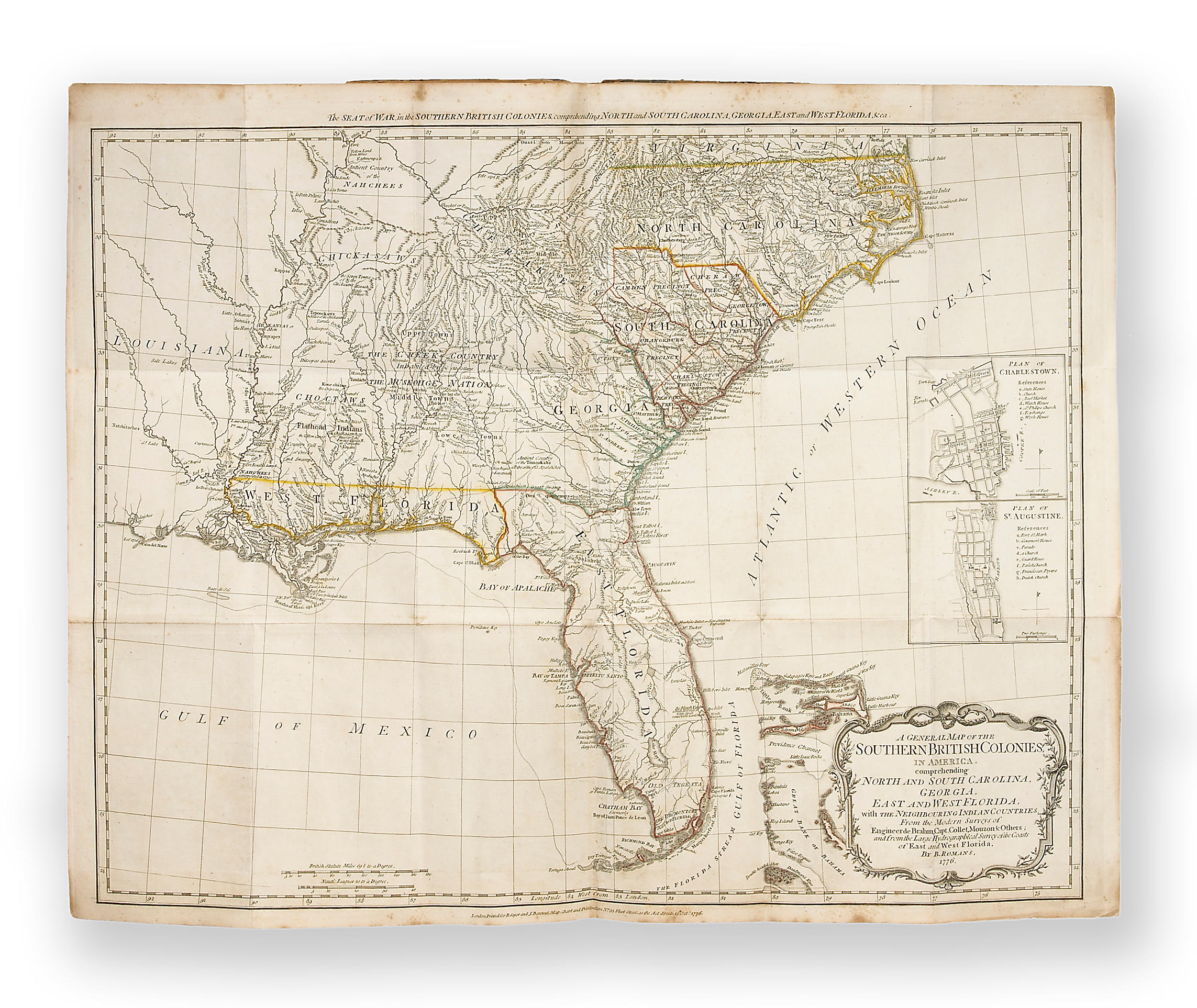
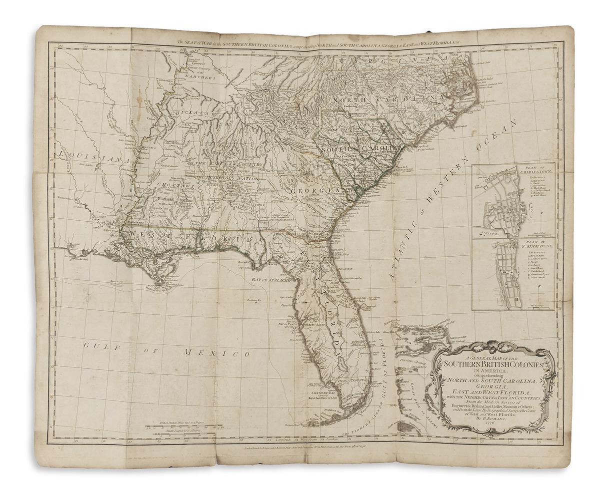
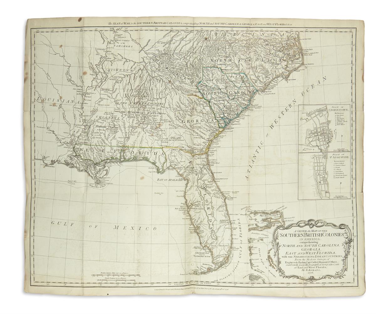
SAYER, Robert & John BENNET (publishers). The American Military Pocket Atlas; being an approved Collection of Correct Maps of the British Colonies; Especially those which are now, or probably may be the Theatre of War. Taken principally from the actual surveys.. of Engineers De Brahm and Romans; Cook, Jackson, and Collet; Maj. Holland and other officers. London: Sayer & Bennet, [1776]. 8° (223 x 142mm). Letterpress title (verso blank), 2pp. dedication to Governor Pownall, 2pp. text, 1p. list of maps, 6 folding engraved maps, hand-coloured in outline. Contemporary calf-backed boards (lightly rubbed). Provenance : Mr Hall (armorial bookplate). A fine copy of this rare pocket atlas, the so-called "Holster atlas", from the extensive use made of it by the British Army during the American War of Independence. Phillips 1206 & 1343; Sabin 1147; Howes A208; Phillips, Atlases 1206; Schwartz and Ehrenberg p.190. The Atlas comprises the following maps: 1: North America as divided amongst the euopean powers by Samuel Dunn ... 1774 , 346 x 457mm. (margins slightly shaved). 2: A compleat map of the West Indies... by Samuel Dunn... 1774 , 343 x 465mm. (close-shaved at two margins). 3: A general map of the northern British colonies in America... corrected from Governor Pownall's .. map 1776 , 520 x 675mm. 4: A general map of the middle British colonies... corrected from... Pownall's.. map 1776 , 530 x 680mm. 5: A general map of the southern British colonies... from the modern surveys of.. de Brahm... & others... by B.Romans 1776 , 540 x 660mm. 6: A survey of Lake Champlain... by William Brassier , 710 x 520mm. (light soiling along upper margin).
SAYER, Robert & John BENNET (publishers). The American Military Pocket Atlas; being an approved Collection of Correct Maps of the British Colonies; Especially those which are now, or probably may be the Theatre of War. Taken principally from the actual surveys.. of Engineers De Brahm and Romans; Cook, Jackson, and Collet; Maj. Holland and other officers. London: Sayer & Bennet, [1776]. 8° (223 x 142mm). Letterpress title (verso blank), 2pp. dedication to Governor Pownall, 2pp. text, 1p. list of maps, 6 folding engraved maps, hand-coloured in outline. Contemporary calf-backed boards (lightly rubbed). Provenance : Mr Hall (armorial bookplate). A fine copy of this rare pocket atlas, the so-called "Holster atlas", from the extensive use made of it by the British Army during the American War of Independence. Phillips 1206 & 1343; Sabin 1147; Howes A208; Phillips, Atlases 1206; Schwartz and Ehrenberg p.190. The Atlas comprises the following maps: 1: North America as divided amongst the euopean powers by Samuel Dunn ... 1774 , 346 x 457mm. (margins slightly shaved). 2: A compleat map of the West Indies... by Samuel Dunn... 1774 , 343 x 465mm. (close-shaved at two margins). 3: A general map of the northern British colonies in America... corrected from Governor Pownall's .. map 1776 , 520 x 675mm. 4: A general map of the middle British colonies... corrected from... Pownall's.. map 1776 , 530 x 680mm. 5: A general map of the southern British colonies... from the modern surveys of.. de Brahm... & others... by B.Romans 1776 , 540 x 660mm. 6: A survey of Lake Champlain... by William Brassier , 710 x 520mm. (light soiling along upper margin).


Try LotSearch and its premium features for 7 days - without any costs!
Be notified automatically about new items in upcoming auctions.
Create an alert