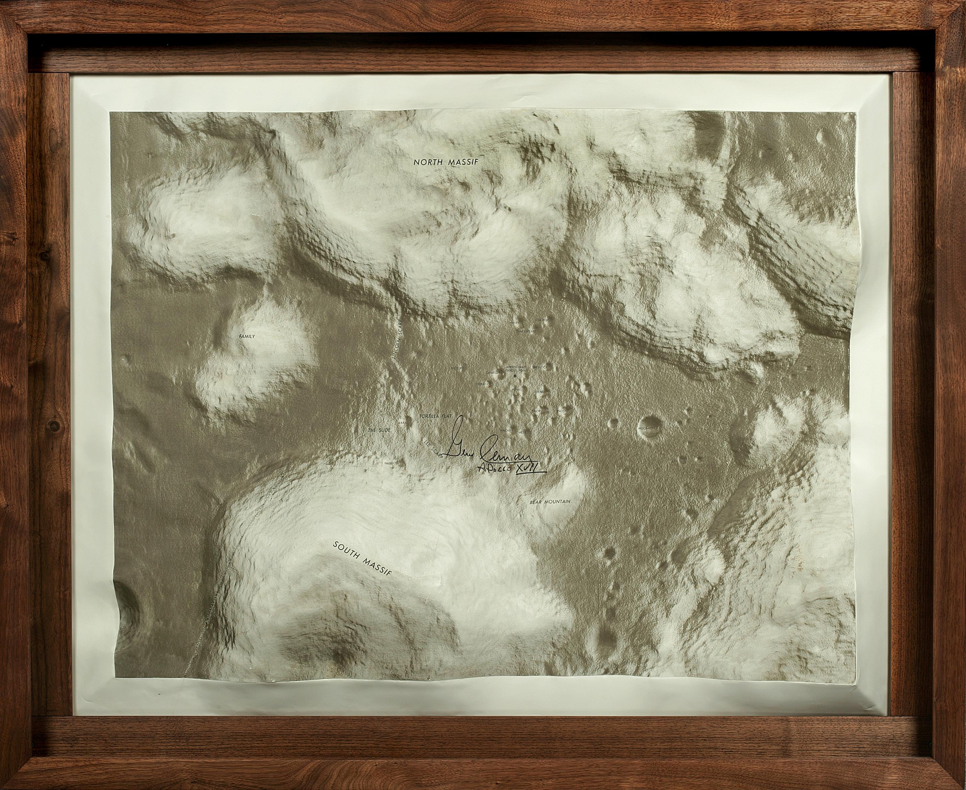
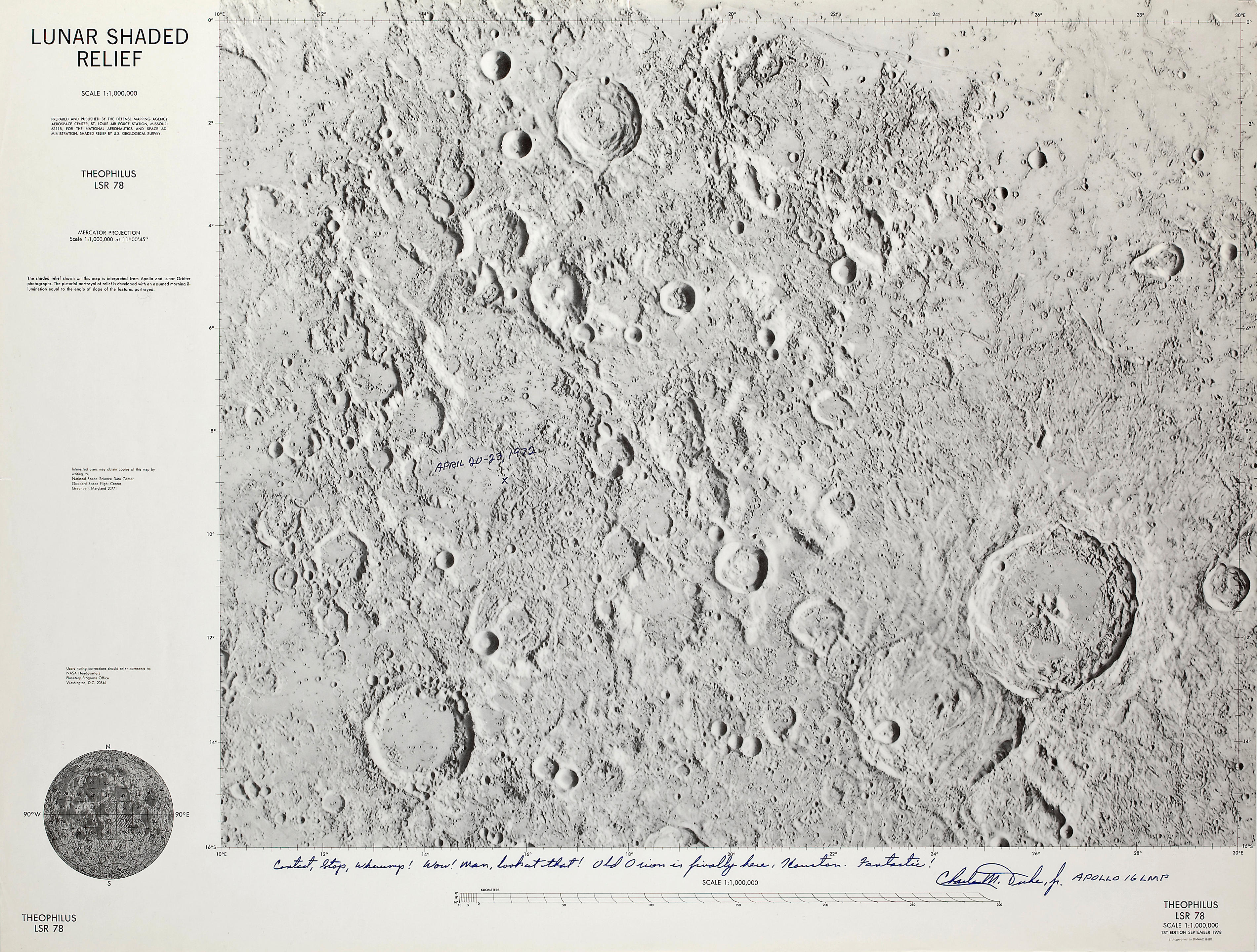
APOLLO 16: LUNAR SURFACE RELIEF MAP USED AT MISSION CONTROL DURING 3 LUNAR EVAs.High-relief topographical map depicting the dramatic terrain of the Apollo 16 landing site at Descartes, [c.1972], probably produced by the Defense Mapping Agency Topographic Center for NASA, plastic, 41 x 29 inches framed, 1:12,500 scale, with tape, pin and marker indications.
Provenance: Dr. Lawrence Kuznetz, member of the Apollo 16 Metabolic Assessment Team; used by him during the mission and with his markings.
MARKED WITH THE 3 APOLLO 16 LUNAR EVA PATHS AND STOPS. Apollo 16 was the first mission to explore the Lunar highlands. Commander John Young and Lunar Module Pilot Charles Duke were able to cover much ground with use of the Lunar Roving Vehicle. The 3 Lunar Surface Extravehicular Activities are marked in black tape with the starting and stopping points marked with pins.
These high-relief Lunar topographical maps were produced in extremely limited numbers expressly for the missions. Those actually used in real time during the missions are virtually unseen at auction.
An accompanying statement from Dr. Kuznetz reads:
"I used the accompanying relief map for preflight predictions and in real time during the Apollo 16 Lunar Surface Extravehicular Activities (EVA) conducted on the surface of the Moon on April 21, 22 and 23, 1972. This high-fidelity relief map kept track of the 3 planned and actual traverses conducted by Astronauts John Young and Charlie Duke. Their science and geology activities are marked by the pins along the black lines indicating where the Astronauts parked their Lunar Rover Vehicle and disembarked to conduct these activities. The science and geology stops were selected by the Apollo Geology and Science Teams and were monitored and modified in real time at Mission Control as each EVA proceeded.
The map was also used to predict the thermal radiation and consumable usage rate on each spacesuit. This in turn was used to constrain the time of each EVA within safety limits preventing the runout of critical oxygen, water, battery and lithium hydroxide (for CO2 removal) consumables. Terrain, sun angle and lunar soil composition properties captured by this map were used as input data for detailed spacesuit, human body and environmental thermal models to determine the allowable time on the surface without exceeding bingo safety limits. The rarity of this map and the methodology of its implementation are considered to be historic information."




Try LotSearch and its premium features for 7 days - without any costs!
Be notified automatically about new items in upcoming auctions.
Create an alert