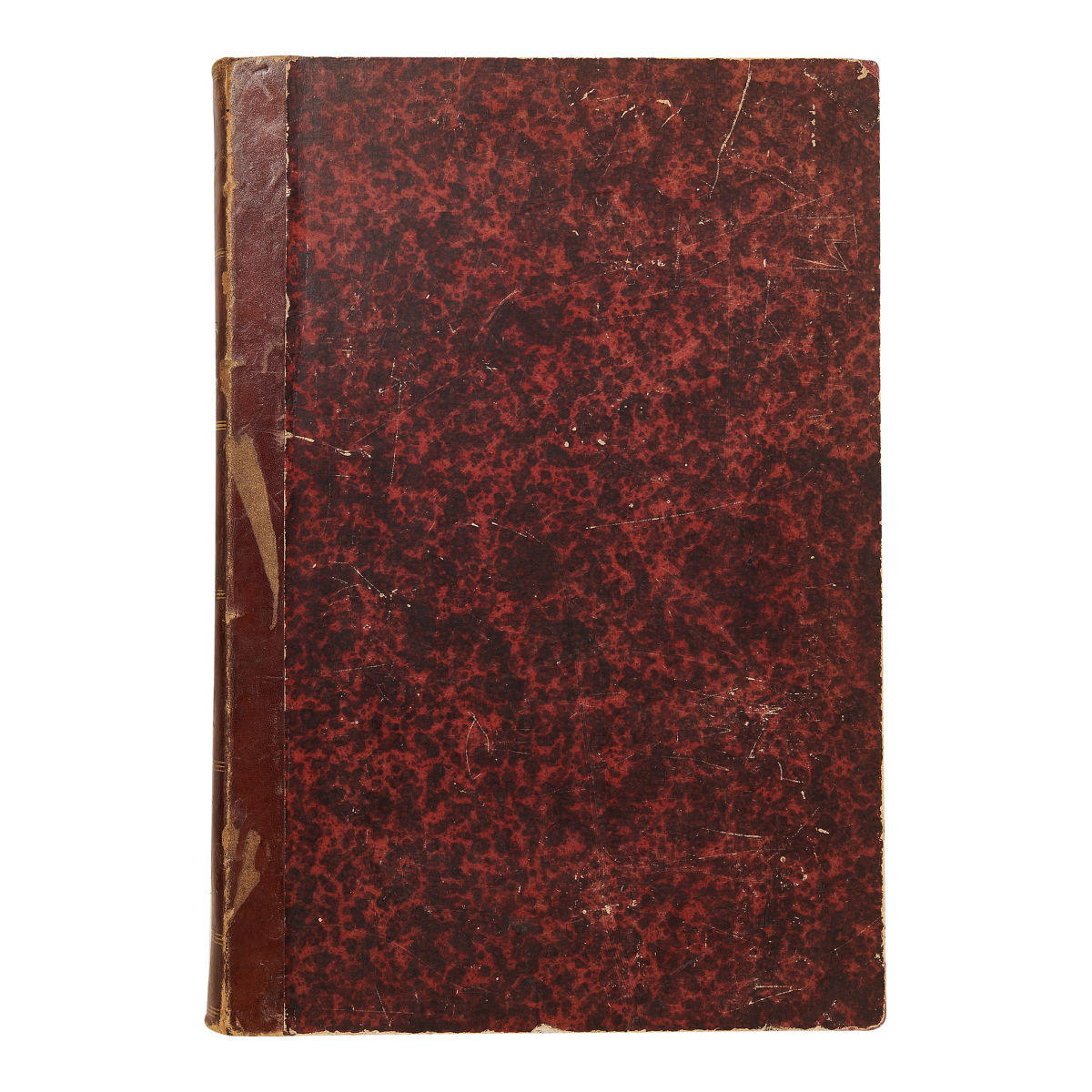
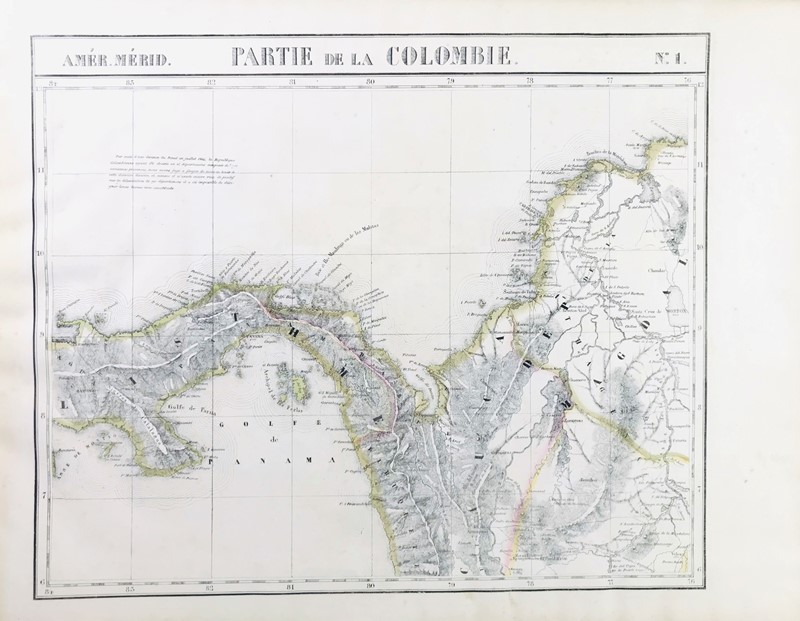
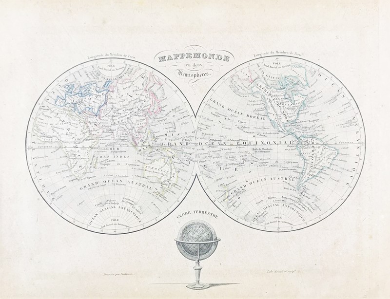
Title: Atlas Universel de Géographie Physique, Politique, Ancienne & Moderne... Author: Brué, A[drien Hubert] Place: Paris Publisher: Chez Charles Picquet, Geographe du Roi et de le Due d'Orléans Date: [1846] Description: With 63 double-page copper-engraved plates hand-colored in outline (map of France with extra fold-out piece) and a map of the world not colored; plus insets; engraved title-page, list of plates, and leaf of letterpress. (Folio) 21¼x14, original quarter morocco and mottled boards, printed paper cover label. "Nouvelle Édition." Series of beautifully engraved maps, with delicate hand-coloring. There are maps of the ancient world at various times, the various European nations, Asia, Africa, etc. (including a map of Persia, etc., showing Afghanistan named but "Caboul" marked in larger lettering). There are two significant maps of North America with the cartographic influences of Lewis and Clark clearly evident, "Carte...de l'Amerique Septentrionale," dated 1846, with Ft. Astoria at the mouth of the Columbia, though what was to be Washington here is part of the Territoire Oregon and goes well into the Missouri Valley, and "Carte Generale des Etats-Unis..." dated 1843, showing the eastern U.S. to Missouri to Louisiana and Iowa (which extends up into Canada) and shows an independent Texas as well as "Dist. des Osages," District Ozark," and a small section "Territory des Indiens du Nord de Mexique." The dates on the maps vary throughout from 1822 to 1846. The list of maps calls for two French maps, east and west, but a larger folding map of all of France has been substituted for them, as issued. Also, each map bears the publisher's small blindstamp. See Wheat Transmississippi 336; and Phillips Atlases 758 (citing 1834 edition). Lot Amendments Condition: Spine perished, covers and title page detached, 1" white tape on front cover, chips and rubs; moderate edge wear and toning throughout, scattered tears including a large tear to the map of Spain, large split along fold-out to map of France, last map worn; maps still clean and bright, most very good to near fine in a fair binding - worthy of restoration. Item number: 144271
Title: Atlas Universel de Géographie Physique, Politique, Ancienne & Moderne... Author: Brué, A[drien Hubert] Place: Paris Publisher: Chez Charles Picquet, Geographe du Roi et de le Due d'Orléans Date: [1846] Description: With 63 double-page copper-engraved plates hand-colored in outline (map of France with extra fold-out piece) and a map of the world not colored; plus insets; engraved title-page, list of plates, and leaf of letterpress. (Folio) 21¼x14, original quarter morocco and mottled boards, printed paper cover label. "Nouvelle Édition." Series of beautifully engraved maps, with delicate hand-coloring. There are maps of the ancient world at various times, the various European nations, Asia, Africa, etc. (including a map of Persia, etc., showing Afghanistan named but "Caboul" marked in larger lettering). There are two significant maps of North America with the cartographic influences of Lewis and Clark clearly evident, "Carte...de l'Amerique Septentrionale," dated 1846, with Ft. Astoria at the mouth of the Columbia, though what was to be Washington here is part of the Territoire Oregon and goes well into the Missouri Valley, and "Carte Generale des Etats-Unis..." dated 1843, showing the eastern U.S. to Missouri to Louisiana and Iowa (which extends up into Canada) and shows an independent Texas as well as "Dist. des Osages," District Ozark," and a small section "Territory des Indiens du Nord de Mexique." The dates on the maps vary throughout from 1822 to 1846. The list of maps calls for two French maps, east and west, but a larger folding map of all of France has been substituted for them, as issued. Also, each map bears the publisher's small blindstamp. See Wheat Transmississippi 336; and Phillips Atlases 758 (citing 1834 edition). Lot Amendments Condition: Spine perished, covers and title page detached, 1" white tape on front cover, chips and rubs; moderate edge wear and toning throughout, scattered tears including a large tear to the map of Spain, large split along fold-out to map of France, last map worn; maps still clean and bright, most very good to near fine in a fair binding - worthy of restoration. Item number: 144271


Try LotSearch and its premium features for 7 days - without any costs!
Be notified automatically about new items in upcoming auctions.
Create an alert